Map of Egypt
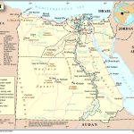
Arab Republic of Egypt map online
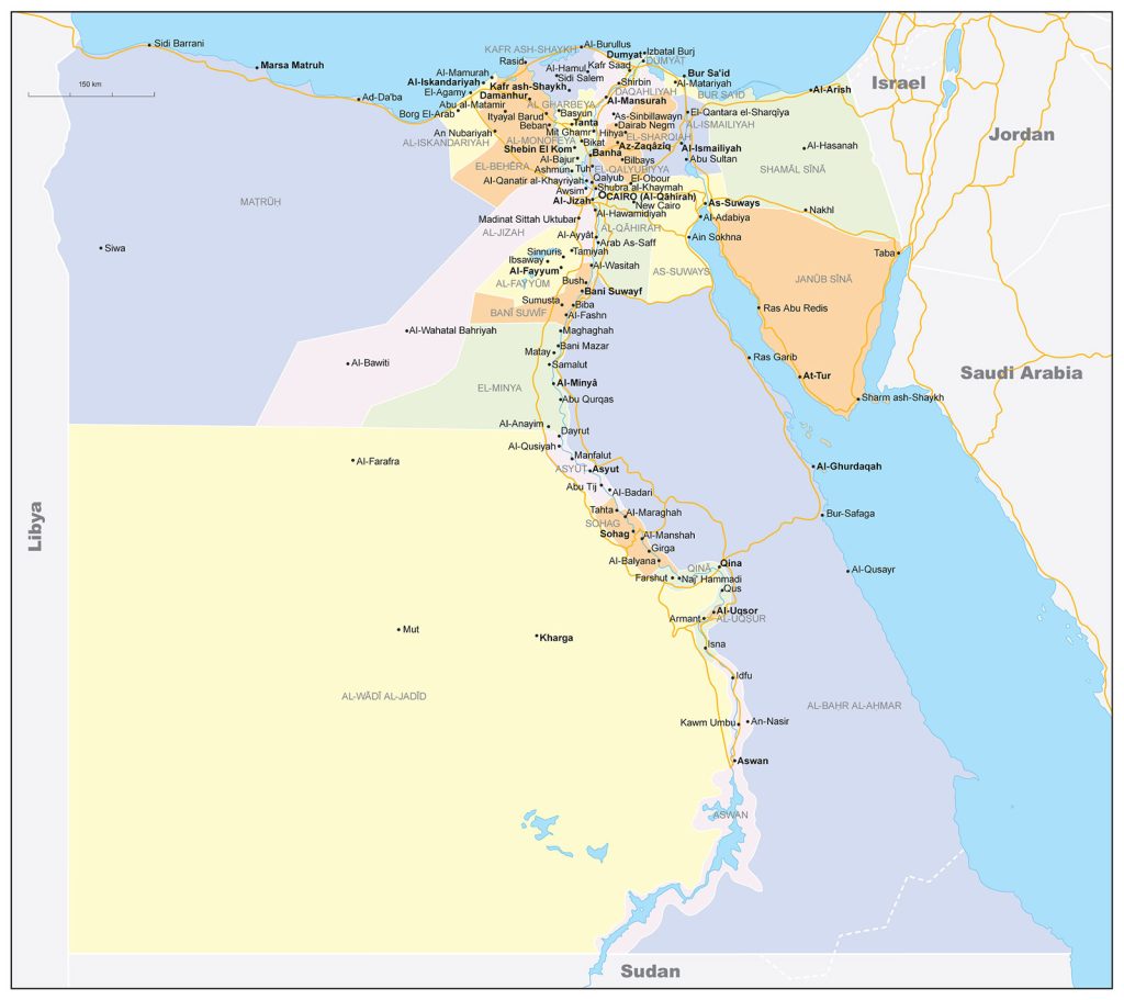
- Political map of Egypt with the state border and neighboring countries
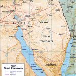
- Egypt on the map of the Sinai Peninsula
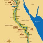
- Map of Ancient Egypt
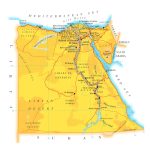
- Map of Egypt with airports and major roads
General description of the Arab Republic of Egypt
Undoubtedly, every person at least once was interested in the country to which he is going to rest, but not just in its sights and landscapes, but in its geographical position, and what is the advantage of this position on the world map. This is exactly what we will talk about the country of Egypt, well located on the map.
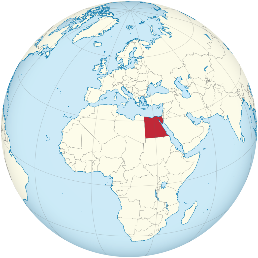
The country of Egypt (Arab Republic of Egypt), located on two continents at the same time, is washed by the waters of the Mediterranean Sea and the Red Sea, which is so rich in the underwater world. Egypt is displayed on the world map in northeast Africa (most of it), and the Sinai Peninsula in Asia (a very tiny area), the Suez Canal separates the two continents. Today, Egypt, in terms of its area, ranks 29th in the list of large countries in the world, with an area of 1,001,450 km2, it is larger than Turkey, Italy, Tanzania, Finland, Malaysia, but also much smaller than Ethiopia, Colombia, Indonesia, Sudan.
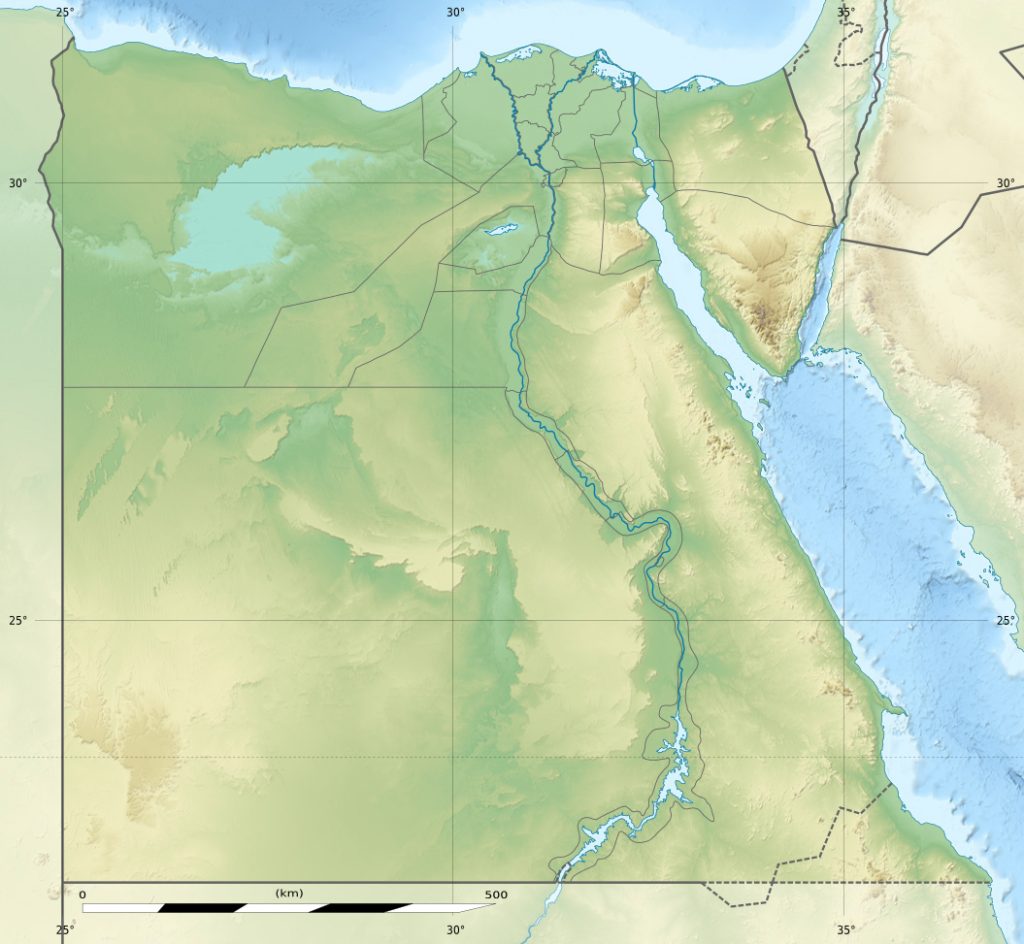
It is on the territory that one of the majestic rivers of the world flows – the Nile, which is the main artery of the country and a source of fresh water. Despite the fact that 95% of the territory of Egypt is a desert, the highest point can be considered Mount Jebel Katrin (2629 m height), on the Sinai Peninsula.
Location of Egypt on the world map
Egypt on the map is presented as part of the desert, located on two continents connected by the Suez Canal. The territory of the country is washed by the Mediterranean, Red Sea, and it is in Egypt that the main water artery, the Nile River, flows. Egypt borders several countries:
- Sudan – in the south;
- Libya – western part;
- Palestine, Israel – in the east;
- The maritime border passes with Saudi Arabia and Jordan.
Climate of Egypt
Since the country is part of the Sahara, the climate here is tropical, desert. In summer it is very hot and dry, the temperature in the sun can reach 50 degrees, and in winter about 20 degrees during the day. Also, a feature of Egypt is that strong desert winds blow in winter, despite the fact that the air is quite warm. But the Sinai Peninsula is different in that just in winter there are no winds, the air is warmed up to 25 degrees, and the water in the Red Sea is warm.
Capital of Egypt and major cities
The capital of Egypt is Cairo, an African metropolis located on the banks of the Nile. The city and suburbs are currently home to over 8 million residents. Among the major cities of the country it is worth highlighting:
- Alexandria – 4 million inhabitants;
- Giza – 3 million;
- Shubra El- Kheima – 1 million;
- Port Said – 600 thousand people;
- Suez – 550 thousand inhabitants;
- Luxor – 480 thousand people;
- El-Mansoura – 480 thousand inhabitants.
Relief of Egypt
On the map, the country is represented mainly by deserts (Arabian, Nubian, Libyan). Separately, it is worth noting the Sinai Peninsula, where most of it is a desert plateau, but it is here that the low mountain range Etbay is located , with the peaks of Hamata, Shaib el- Banat, and the highest point – Mount Catherine.
Water resources: seas, rivers and lakes
Egypt on the world map looks like a small country through which the man-made Suez Canal flows (connecting Africa and Asia), as well as the small Red Sea with a very rich water world and a variety of marine life, which is located in a tectonic depression between the Arabian Peninsula and Africa. The Mediterranean Sea washes Egypt from the northern part, cities such as Alexandria, El Alamein, Mersa Matruh have access to the sea .
In Egypt, there is only one Nile river, it has its own peculiarity – it does not dry up, but overflows its banks when the temperature reaches its maximum. Along the river are located Cairo, Alexandria, Aswan, as well as historical, archaeological monuments of Egypt. Due to its width and depth, tourist cruise liners, as well as cargo ships and barges, can walk along the river.
The largest cities on the map of Egypt
- Cairo is located on both sides of the Nile River in the northern part of the country, is the largest city on the map of Egypt, but of the whole of Africa. The island of Roda is located within the city, and on the western side it borders on Giza. Cairo is the religious, cultural, historical center of the whole country, as well as a rapidly developing metropolis with new buildings, parks that convey the eastern culture of the country.
- Alexandria is a large, commercial and industrial city in the Nile Delta, in the northern part of Egypt, the second largest in the country, as well as a large port on the Mediterranean Sea, as it is located along the coast itself. Thanks to access to the sea and developed production. Alexandria is an important point on the map of Egypt, and also combines a rich oriental culture, religion, architecture and traditions that are closely intertwined with modernity.
- Giza – located off the banks of the Nile, is considered a suburb of Cairo on the southwestern side, but at the same time the third largest in Egypt, was the “city of the dead”, as it was the cemetery of Memphis. Today, Giza, the most visited by tourists, thanks to the pyramids, and archaeological sites.
- Shubra el- Kheima – refers to the northern agglomeration of Cairo, and to the governorate of Qalyubiyya, the fourth largest, is a large industrial center where textiles, yarn are produced, and cotton is refined. Shubra al- Kheima is connected with the capital by a new, constructed metro line.
- Suez – the city is located on the side of the southern part of the Suez Canal, but from the north of the Gulf of Suez, and is surrounded by desert. For Egypt, it is a major transport hub (developed roads, rail, shipping) and an industrial port. The city works mainly to provide fuel for ships moored off the coast, as well as to repair them.
 The Guide Maps
