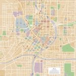
Atlanta map, Georgia USA
Maps are a useful tool for visualizing the geography and layout of a city like Atlanta. They can provide information on the location of streets, buildings, parks, and other landmarks, making it easier to navigate and understand the city's geography.
Interactive Map of Atlanta
Atlanta map collection
- Detailed map of Atlanta with highways and airports
- Atlanta Road Map
- Atlanta Map Georgia
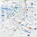
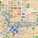
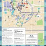
- Downtown atlanta tourist map
- atlanta streetcar map
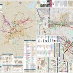
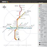
- atlanta public transport map
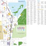
- atlanta midtown-walking map
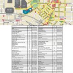
- atlanta downtown restaurants map
- atlanta area map
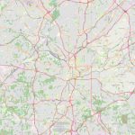
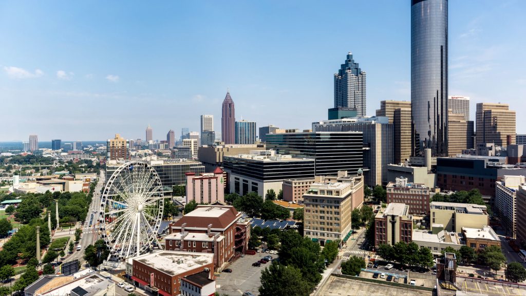 View this map of Atlanta with roads, streets and houses. Atlanta is the capital of Georgia and one of the most populous cities in the United States. Situated at the foothills of the Appalachian Mountains, it is home to numerous attractions and activities. To explore it better, let’s take a look at Atlanta’s political map and physical map, as well as what activities you can experience in this vibrant city.
Where is Atlanta in Georgia?
Atlanta is situated in northern Georgia and lies along the banks of the Chattahoochee River. It encompasses an area of about 134 square miles (347 km2), with over 500,000 citizens making up its population. The city is known for being a key transportation hub and has been nicknamed “the city in a Forest” due to its abundance of trees. The Atlanta map is a great tool to avoid getting lost in an unfamiliar city.
What can be seen on the Atlanta political Map?
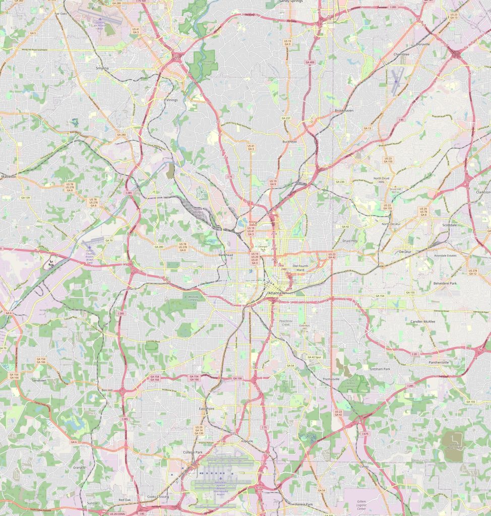 The Atlanta political map shows its boundaries and divisions within different administrative areas. It also highlights major highways, interstate roads, airports, railroads, parks, hospitals, universities, commercial centers and more. Furthermore, local roads are marked on it too which makes it easier to understand how different parts are connected within the city limits.
What can be seen on the physical map of Atlanta USA?
The physical map of Atlanta USA shows various physical features that form part of its landscape such as mountains, hills, rivers and forests. Other important landmarks like Stone Mountain Park – home to a huge granite outcropping – as well as Kennesaw Mountain National Battlefield Park can also be seen here. Additionally, several protected natural areas such as Chattahoochee River National Recreation Area have been highlighted on this map too.
Things to do in Atlanta USA
 There are plenty of things to do in Atlanta USA from exciting outdoor activities like visiting Stone Mountain Park or going whitewater rafting on the Chattahoochee River to more relaxing pursuits like spending some time at Lake Lanier Islands or taking a leisurely stroll around Centennial Olympic Park. Those wanting a cultural experience should consider hitting up one or two of ATL’s many museums such as High Museum Of Art or World Of Coca-Cola; while those looking for nightlife entertainment should head over to Midtown where there are plenty of bars and nightclubs available for partying until sunrise! The reference map of Atlanta serves as a starting point in the world of traveling around the city.
Nearest cities
Atlanta may be located within Georgia but that doesn’t mean there aren’t other interesting cities close by. Some nearby towns include Marietta (11 miles away), Sandy Springs (15 miles away) and Roswell (18 miles away). All three cities offer their own unique attractions that will surely surprise visitors looking for something different than what ATL has to offer – from historical sites to recreational parks – these places provide an alternative experience for those wanting a quick trip outside the bustling metropolis. The map of Atlanta perfectly shows the shape of the city and its location.
Nearest airport / rail station/ highway connections
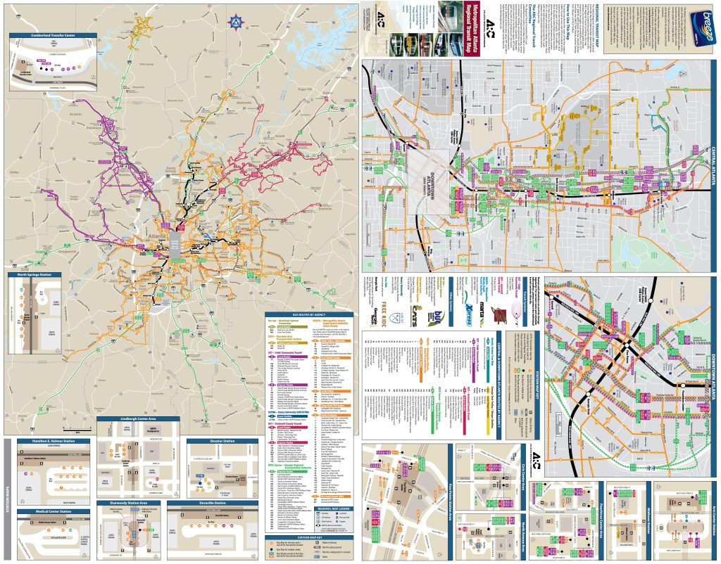 For those who want an easy access into or out of Atlanta USA there are several airports available: Hartsfield-Jackson International Airport being one of them which is located just 8 miles south-east from downtown ATL; alternatively there’s also DeKalb-Peachtree Airport located just 7 miles north-west from downtown which provides domestic flights for those wanting a quicker connection; lastly there’s also Fulton County Airport only 5 miles south from downtown if you need an even faster route out! As for rail transportations Amtrak trains connect with all neighboring states whereas MARTA provides metro services throughout greater ATL area; finally, when it comes to highways I-20/I-75 go through downtown providing fast connections between other cities both inside and outside Georgia state lines! Look at this map of the streets of Atlanta, it will immediately become clear where the right street is located.
Best suburb of Atlanta?
If you’re looking for a place that’s quieter yet still close enough to all major attractions then Decatur might be your best choice! Located 8 miles east from downtown Decatur offers historic buildings with small town charm along with plenty cafes & shops which make it perfect choice if you’re seeking some peace & quiet while still being able to easily access everything ATL has too offer!
Is it cheap to live in Atlanta?
The cost living in Atlanta depends how far away you’re willing travel since further away suburbs tend will have lower prices but then again they won’t give you direct access into core district either so best approach would be finding balance between price & location when deciding where exactly live – ranging around $1500-$2000 per month depending upon size & amenities offered – so overall it’s not really cheap but equally not overly expensive either making easy accessible location & cost effective lodging possible without breaking bank either!
 The Guide Maps
