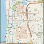
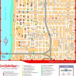
Baton Rouge map, Louisiana USA
The Baton Rouge City Map is the best tool for travelers. Located on the banks of the Mississippi River, Baton Rouge is the capital of Louisiana and a vibrant city filled with culture and history. It is known for its warm hospitality, lively music scene, and unique restaurants. Whether you’re looking to explore nature, experience local attractions, or simply relax in a peaceful atmosphere, there is something special waiting for you in Baton Rouge.
Interactive Map of Baton Rouge
Baton Rouge map collection
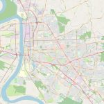
- Schematic map of Baton Rouge with highways and streets
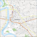
- Baton Rouge Road Map
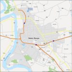
- Baton Rouge Map Louisiana
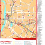
- Baton Rouge hotels and sightseeings map
- Baton Rouge downtown
Where is Baton Rouge, Louisiana?
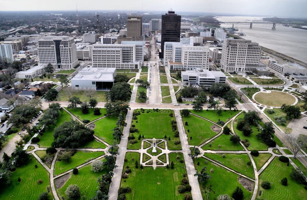 Baton Rouge lies on the eastern bank of the Mississippi River in southeastern Louisiana. It is located about 85 miles northwest of New Orleans and just over an hour from Lafayette. The city has a population of around 230,000 people making it the second-largest metropolitan area in Louisiana. With its close proximity to other major cities like Houston and Jackson, MS as well as access to I-10 and I-12 highways and major airports nearby such as Baton Rouge Metropolitan Airport (BTR) and Louis Armstrong New Orleans International Airport (MSY), it is easy to get here from anywhere. With the Map of Baton Rouge, you will definitely not get lost.
Political map of Baton Rouge
On a political map of Baton Rouge, you can see how the city’s areas are divided into distinct parishes (or counties). Each parish is administered by either a sheriff or police department with their own system of laws. Additionally, each parish also contains its own set of courts where cases can be heard by judges or juries. Also visible on the political map are state boundaries as well as cities and towns within them. As such, this makes it easy to distinguish between areas within different states or parishes when traveling through Baton Rouge.
Physical map of Baton Rouge USA
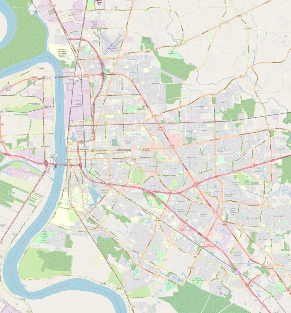 The physical map of Baton Rouge reveals much about its geography and environment including topographical features like rivers, lakes, swamps bays etc., as well as vegetation types such as forests or wetlands common in the region. It also shows various manmade structures like roads bridges dams etc., which provide important transportation links throughout the area. Additionally, objects like churches hospitals schools, government buildings factories etc., are also visible on the physical map making it easier for travelers to identify essential landmarks within their vicinity when needed during their visit. The map of Baton Rouge shows the border of the city.
By what landmarks can I find the city of Baton Rouge on the physical map?
The main landmark that defines Baton Rouge on most maps is its iconic Mississippi River Bridge – popularly referred to as ‘Old Huey P Long Bridge” due to its resemblance to another bridge in New Orleans named after former Governor Huey P Long! Other notable landmarks include two universities – LSU (Louisiana State University) located downtown while Southern University lies south east of Old Huey P Long Bridge further away from downtown areas; Capitol Building; Governor’s Mansion; Raising Cane’s Stadium – home field for LSU football team; Bluebonnet Swamp Nature Center offering interactive educational exhibits about local ecology; Independence Park – providing a scenic view overlooking downtown skyline; Main Street Market offering regular farmer’s market events throughout summer months; Shaw Center for Arts featuring contemporary art exhibitions & performances etc., all giving travelers plenty opportunities to explore & enjoy city life upon arriving here!
Things to do in Baton Rouge USA?
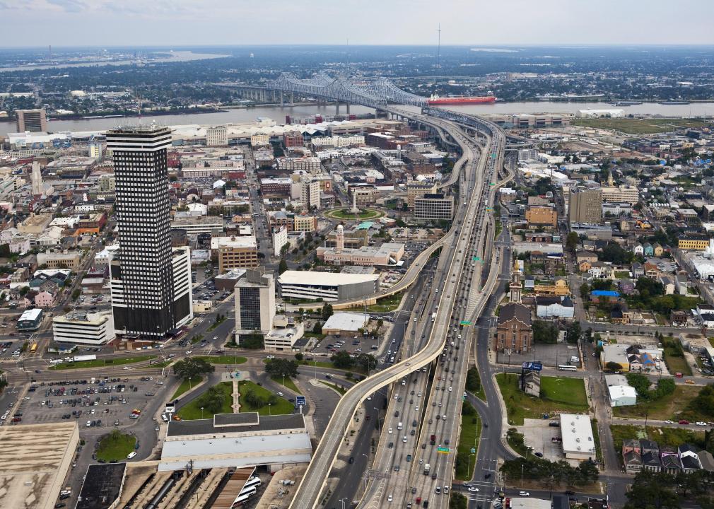 Cultural & Historic Sites: From visiting antebellum plantation homes scattered across countryside surrounding city to learning more about local civil rights movement at places like Rosa Mary Brooks Freedom Center; there are many ways one can get immersed in rich history & culture that makes up modern day Louisiana! Outdoor
Recreation/Activities: Nature lovers will find plenty outdoor adventures await them here ranging from guided kayak/canoe trips along long river banks lined with cypress trees or swamp tours through Atchafalaya Basin Wildlife Refuge during springtime months! Offering an amazing glimpse into some truly awe-inspiring landscapes!
Shopping: For those who enjoy shopping then visiting Perkins Rowe shopping center offers numerous options ranging from chic boutiques selling latest designer fashions & accessories all way up to big box stores offering everyday items at discounted prices! While historic Third Street Market Place near LSU provides great opportunity for bargain hunters seeking hidden gems among countless vendors attending open air markets here every weekend during summer season!
Name the nearest cities
Nearest cities around Baton Rouge include Hammond (37 mi), Den ham Springs (22 mi), Clinton (19 mi) St Francisville (39 mi); Plaquemine (27 mi); Zachary (17 mi); Baker (18mi). All these cities offer plenty tourist attractions worth exploring when traveling through this part of state such beautiful old homes tucked away deep narrow streets filled with charming cafes bistros specialty shops etc. The Baton Rouge, road map is a great helper when traveling by car.
Nearest Airport, railway station, highways?
The nearest airport serving Baton Rouge would be Louis Armstrong New Orleans International Airport. The airport is located approximately 30 miles away from Baton Rouge and offers a wide range of domestic and international flights.
For those looking to travel by train, the nearest railway station is the Amtrak Station located in New Orleans, LA. The station is approximately 45 miles away from Baton Rouge and offers daily services to several destinations across the country.
In terms of highways, Baton Rouge is well connected with several major highways, including I-10 and I-12, which connect the city to other cities in Louisiana and beyond. These highways provide quick and convenient access to other parts of the state and the country.
 The Guide Maps
