Berlin map, Germany
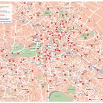
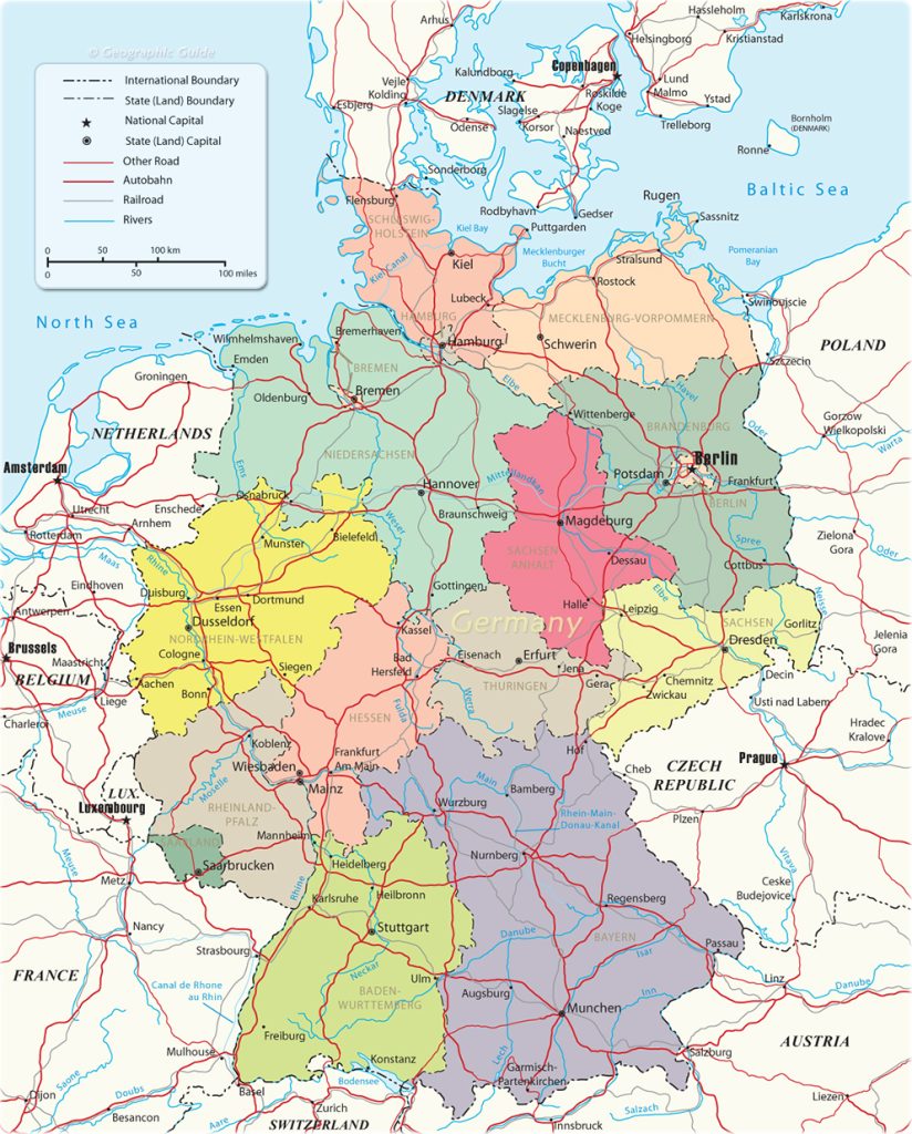
Berlin is the capital of Germany. The city is situated in the northeastern part of the country on the banks of the Spree River and is bordered by Brandenburg to the east. It has a population of over 3.5 million people, making it one of the largest cities in Europe. Berlin covers an area of 891 square kilometers, with a land area of 883 square kilometers and water area of 8 square kilometers. With the map of Berlin, you will definitely not get lost.
Interactive Map of Berlin
Berlin map collection
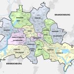
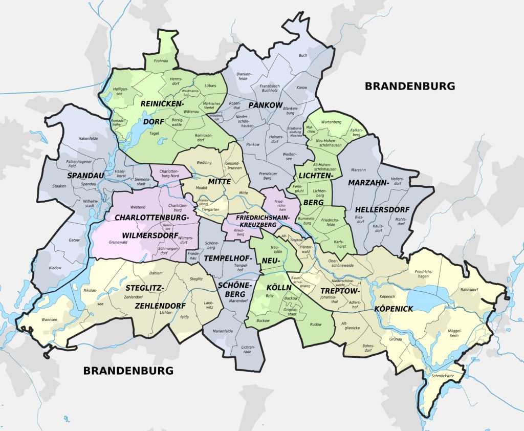
- Berlin districts
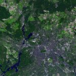
- detailed satellite image of Berlin
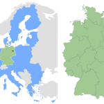
- Berlin in Germany
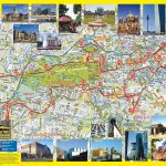
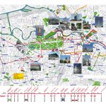
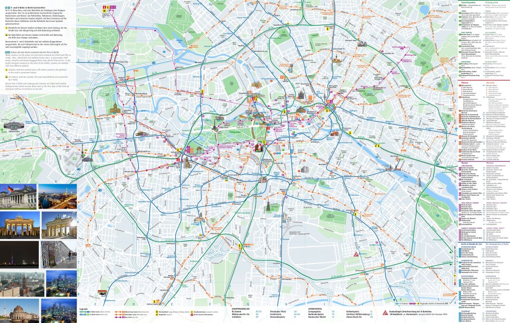
- hop on hop off bus tourist map of berlin
- Call a bike station
- Berlin top tourist attractions map with directions to car park locations
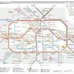
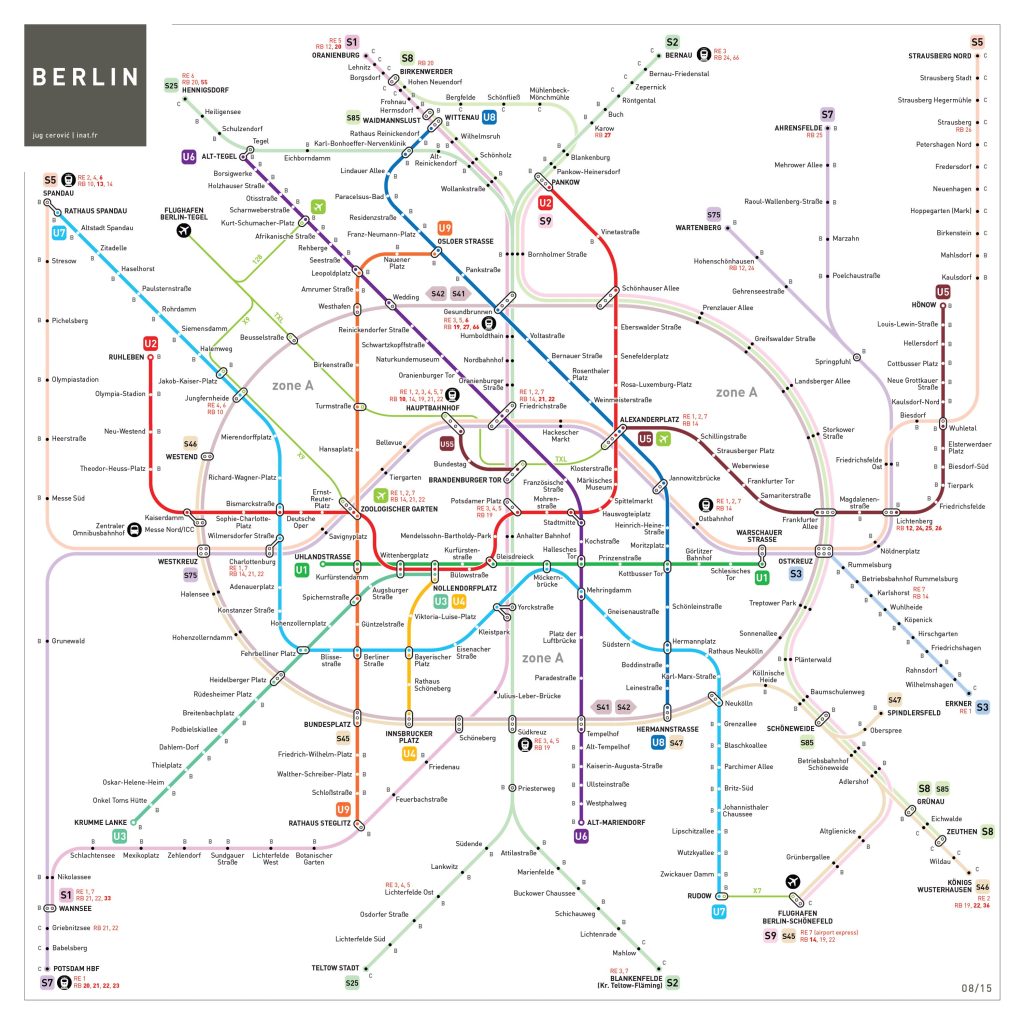
- Berlin subway map showing stations
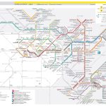
- Berlin transport map
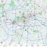
- Large detailed Berlin tram map
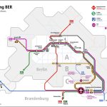
- BER Anbindung
The political map of Berlin, Germany
 The political map of Berlin shows its administrative divisions that divide the city into 12 boroughs (Bezirke). Those boroughs are further divided into neighborhoods (Orte) and districts (Stadtteile).
Each borough has a mayor and a local council that manage its affairs. Additionally, Berlin also has several special administrative zones such as embassies, airports, military bases and high-security facilities that are not controlled by any particular borough but rather managed directly by federal authorities.
Rivers, forest, lakes
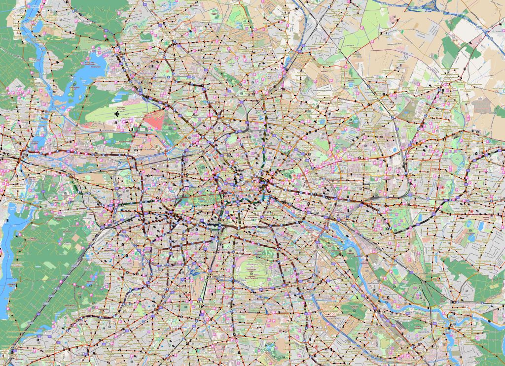 On a physical map of Berlin many rivers can be seen winding through the region in all directions from north to south and east to west. Some prominent rivers include Havel river, Spree river, Dahme river, Wuhle river, Rhinstrasse and Elbe river.
Forested areas can also be seen scattered around these rivers varying in size from small patches to large woodlands.
Lakes such as Tegeler See, Groser Muggelsee, Zug lake, Rummelsburger lake Ladogasee provide recreational opportunities for locals as well as visitors. The map of Berlin shows the border.
The nearest cities to Berlin, Germany
Berlin is surrounded by numerous other cities with varied types of geographical features ranging from small villages to large metropolises like Hamburg which lies about 255 km northwest from Berlin. Other nearby larger cities include Dresden located approximately 150 km southeast from Berlin; Hanover located approximately 215 km southwest from Berlin; Poznan located approximately 170 km northeast from berlin; Krakow located about 290 km east from berlin; Leipzig located approximately 120 km southeast from berlin.
The nearest airport, railway stations and highways
Berlin is served by two major airports – Tegel Airport located about 6 km northwest from city center and Schönefeld Airport situated about 19 km southeast from city center .
There are also numerous railway stations spread across both sides of city including U-Bahn& S-Bahn stations as well as regional & intercity train stations like Ostkreuz Station &Hauptbahnhof station respectively .
The Nearest Highways includes A10 motorway or Autobahn 10 which originates at Potsdam junction & extends through central zone towards western suburbs while A2 motorway or Autobahn 2 which starts at Frankfurt/Oder junction & follows eastern side up till Greifswald City Junction. The Berlin, road map is a great helper when traveling by car.
The main significant streets of the city
There are many famous streets in Berlin such as Unter den Linden – considered one of Europe’s most beautiful boulevards full with classic buildings such as German State Opera House Konzerthaus;
- Kurfürstendamm – known for luxury shopping experiences along with theaters & cinemas;
- Friedrichstrasse – being home to exclusive restaurants & designer boutiques;
- Alexanderplatz – offering urban attractions such as TV tower & museums;
- Potsdamer Platz – suggesting modern architecture along with shopping malls;
- Karl Marx Allee – historically known for being built during former DDR regime showcasing vintage architecture;
- And lastly Hackesche Höfe – popular for its tucked away cafes & courtyards.
Neighborhood location
Berlin neighborhood offers cultural variety extending all throughout its territory. Being one world’s most populous cities it still manages to keep green spaces intact like Tempelhofer Feld -former airfield transformed into public parkland featuring allotments, playgrounds & open fields;
Tiergarten – huge park situated around governmental quarter offering picturesque lakeside views plus trails for jogging along with cycling routes; Volkspark Friedrichshain – old age park established for celebrating community spirit containing outdoor facility spots like amphitheater plus sports courts;
And Treptower Park – built near Soviet memorial depicting history behind world war II events through sculptures etcetera.
Metro in Berlin
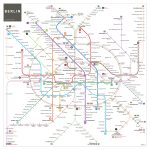
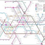
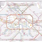
Berlin, the capital city of Germany, is known for its efficient and expansive public transportation system, which includes an extensive metro system. The Berlin U-Bahn, as it is commonly known, is one of the oldest metro systems in the world and has been in operation since 1902. It is an important mode of transportation for both locals and tourists alike, with an average of over 1.5 million passengers using it every day.
The Berlin U-Bahn consists of ten lines and 173 stations, making it one of the largest metro systems in the world. The lines are numbered and color-coded, making it easy for passengers to navigate the system. The U-Bahn operates 24 hours a day, with trains running at regular intervals throughout the day and night.
One of the unique features of the Berlin U-Bahn is the architecture of its stations. Many of the stations were designed by prominent architects, and each has its own distinct style. For example, the U-Bahn station at Alexanderplatz, one of the busiest stations in the system, was designed in the style of the former East German government. The station at Potsdamer Platz, on the other hand, was designed to reflect the area’s history as a divided city.
The Berlin U-Bahn is also notable for its accessibility features. Many of the stations have elevators and ramps to make them accessible for people with disabilities, and the trains themselves are designed to accommodate wheelchairs and strollers. In addition, many of the stations have artwork and displays that showcase the city’s history and culture, making the U-Bahn not just a mode of transportation, but also a cultural experience.
In conclusion, the Berlin U-Bahn is a vital part of the city’s public transportation system and is an efficient and convenient way for locals and tourists alike to get around. With its extensive network of lines and stations, unique architecture, and accessibility features, it is no wonder that the Berlin U-Bahnis considered one of the best metro systems in the world.
 The Guide Maps
