Boise map, Idaho USA
Boise is the capital of the state of Idaho in the United States. It is located in the southwest of the state, about 93 miles from the Oregon border.
Interactive Map of Boise
Boise map collection
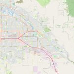
- Schematic map of Boise with highways and streets
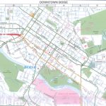
- downtown Boise
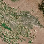
- Satellite image of Boise
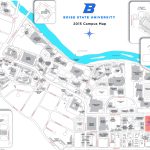
- Boise state university campus map
- Boise City Road Map
- Boise City Map Idaho
What can be seen on the political map of Boise, Idaho?
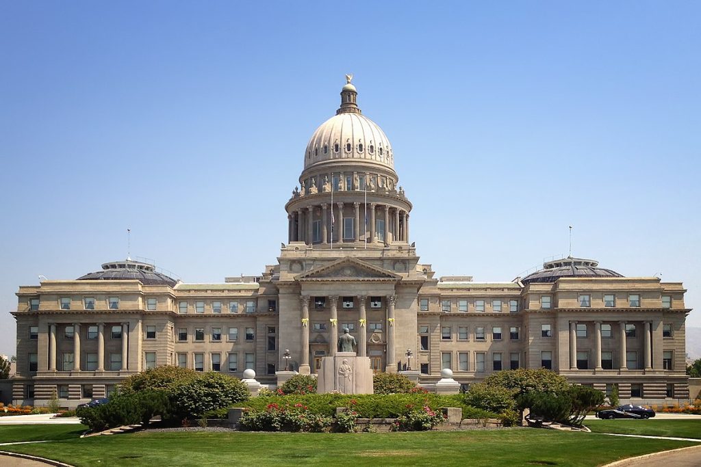 On a political map, you can see the boundaries of the different counties and political districts surrounding the city of Boise. The city itself is divided into several neighborhoods, each with its own characteristics and points of interest.
What objects can be seen on the physical map of Boise, United States?
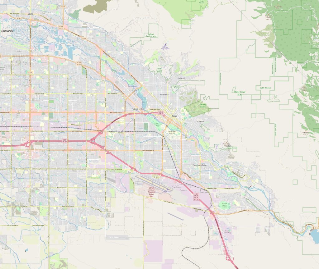 On a physical map, you can see the topographical features of the surrounding region, such as mountains, hills, and plains. The city of Boise is located in a valley and is surrounded by mountains. You can also see the rivers and waterways that flow through the region, as well as forests and woodland areas.
What landmarks can be used to find the city of Boise on a physical map?
Boise, the capital of Idaho, is a popular destination among tourists, locals and business travelers around the world. Located in the southwestern region of the state, the city is surrounded by stunning natural landscapes and outdoor recreation areas. If you want to find an object based on a physical map, there are several landmarks that will help you pinpoint its location.
The first and most notable landmark by which you can find Boise is the Boise River. The river flows through the city and serves as a clear landmark. In addition, the surrounding mountains, such as the House Mountains, can also be used to search for the city.
Another attraction where you can find Boise is the Snake River. The Snake River flows along the southern border of the city, providing a clear landmark. In addition, the city is surrounded by several forests and wooded areas that can also be used to help find it.
One of the landmarks is the foothills of Boise, a mountain range stretching along the eastern border of the city. In addition, the city is surrounded by several lakes and rivers, such as Lucky Peak Lake, along which it can also be found.
What to do in Boise, United States?
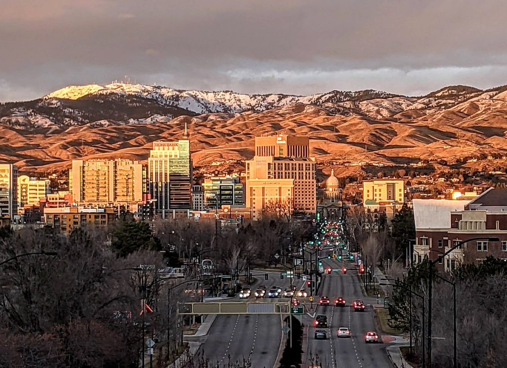 There are many activities to do in Boise. The city is known for its parks, botanical gardens, bike trails, and hiking trails. There are also many museums, art galleries, and performance spaces for culture lovers. The city is also known for its restaurants, bars, and shops, offering a unique shopping and dining experience.
What are the nearest cities? If you are writing about the nearest cities, indicate the distance at which they are located.
The nearest cities to Boise are Nampa about 13 miles to the west, Meridian about 7.5 miles to the east, and Caldwell about 19 miles to the west.
The nearest airport to Boise is the Boise International Airport, located approximately 6 kilometers southwest of the city. There is also a railway station serving the Boise area, but it is not located directly in the city. In terms of roads, Boise is served by several highways and main roads, such as the I-84, which runs through the city from northwest to southeast.
 The Guide Maps
