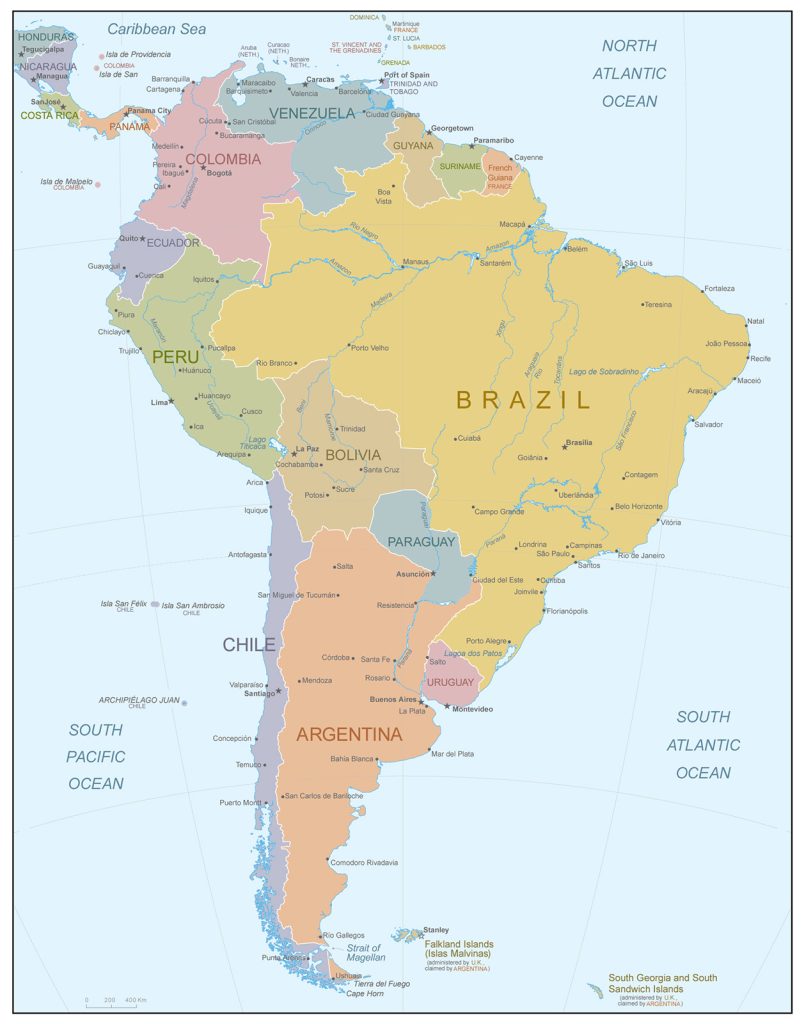
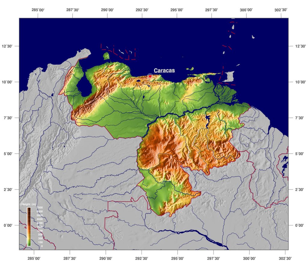
Map of Venezuela
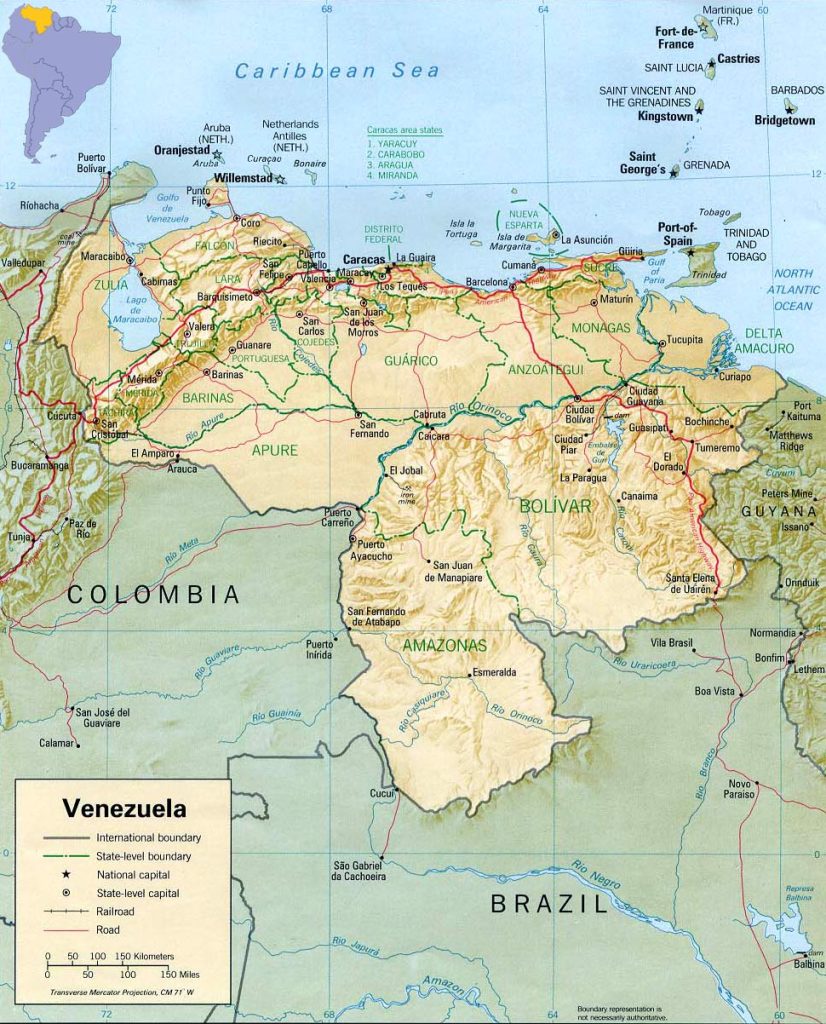
Bolivarian Republic of Venezuela map online
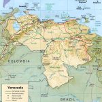
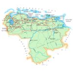
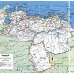
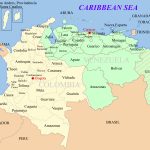
- Political map of Venezuela
- Major highways in Venezuela
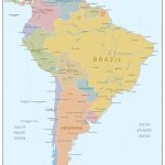
- Venezuela in North America
- Satellite image of Venezuela
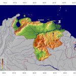
- Physical map of Venezuela
General description of the Bolivarian Republic of Venezuela
Venezuela – (officially the Bolivarian Republic of Venezuela) – is a state on the political map of South America and has a population of 28.8 million people.
Among all countries of the world, it ranks 33rd in area (912,050 km 2 ) and is located between Nigeria (32nd place – 923,768 km 2 ) and Namibia (34th place – 824,292 km 2 ).
Orinoco is the largest river flowing through the territory of Venezuela. The highest point of Peak Bolivar is located in the northeast of the country and is 4978 meters.
Venezuela has a mild tropical climate, but the average temperature is highly dependent on altitude. That is why all major cities are located at an elevation of 600–1850 meters, where the average temperature is +23…+30 °C.
The capital of the state of Caracas on the map of Venezuela is located in the north, near the coast of the Caribbean Sea.
The largest cities in Venezuela are:
- Caracas (1.82 million people);
- Maracaibo (1.57 million );
- Valencia (1.20 million );
- Barquisimeto (862 thousand);
- Ciudad Guayana (636 thousand);
- Maracay (392 thousand).
Location of Venezuela on the world map
Venezuela is located in the north of South America, and its outlines on the map resemble a triangular shape.
The length of the coastline reaches 2,800 km, including the northern border with the Caribbean Sea, 72 islands of the Caribbean Sea and the northeastern border with the Atlantic Ocean.
Margarita is the largest island of Venezuela, which represents 2 mountain ranges connected by a sandy spit. 490 thousand people live on its territory.
Venezuela borders on 3 countries. To the west is the border with Colombia, to the east – with Guyana, and the southern land border separates the territories of Guyana and Venezuela.
From the Caribbean coast to the border with Colombia, the Cordillera de La Costa mountain range extends , which is a continuation of the Andes.
Relief of Venezuela
The relief of the country is predominantly mountainous, with vast plains in the center of the country. Venezuela is divided into 4 topographic regions:
– Lowland of Maracaibo in the northwest.
– The central flat part of the Llanos Orinoco . It occupies 1/3 of the country’s territory and borders on the Orinoco River basin.
– Guiana Plateau in the south and southeast.
– The Andes mountain range in the northern part of the country. Here is the highest mountain in the country – Sierra Nevada de Merida .
Water resources: seas, rivers and lakes
More than a thousand rivers flow in Venezuela, half of which run off the Guiana Plateau and the Andes into the country’s main artery, the Orinoco. The area of the basin of this river occupies the 3rd place in terms of area among the countries of Latin America and is about 1 million km 2 . Flowing into the Atlantic Ocean, Orinoco forms a vast delta.
On the Venezuelan river Kerep is the highest waterfall in the world – Angel Falls 979 meters high.
The largest lakes in the country are Maracaibo (15 thousand km 2 ) and Valencia.
The largest cities on the map of Venezuela
In terms of population in Venezuela, the cities of Caracas, Maracaibo and Valencia are in the lead.
Caracas
The official name is Santiago de Leon de Caracas.
1/6 of the country’s population lives here. The capital of the state is separated into a separate federal district and has an area of 1900 km2 . It lies in the north of the country, in the Andes Valley, in close proximity to the Caribbean coast (about 14 km).
Maracaibo
Maracaibo is the capital of the state of Zulia and lies in the northwest of the country. The city is located on the western shore of the strait that connects Lake Maracaibo and the Gulf of Venezuela. It is an important cargo sea port for the shipment of oil.
Valencia
Valencia is the capital and largest city of the state of Carabobo , located in northern Venezuela. In the 19th century, this city was the capital of the state.
It is located west of Caracas (125 km) and 30 km from the Caribbean coast. Nearby is also the second largest lake in the country – Valencia.
 The Guide Maps
