Map of Canada
Canada map online
| № | Locality | State | Coordinates | Stations |
|---|---|---|---|---|
| 1 | Toronto | - | - | 0 |
Canada is a vast and expansive country, ranking as one of the largest in the world. This advanced nation is an ideal destination for travelers looking to experience an array of natural wonders. Situated in North America, Canada boasts a diverse landscape with breathtaking scenery ranging from towering mountains to serene lakes and forests. With its vast expanse, visitors can enjoy a wide variety of activities, from skiing in the majestic Rocky Mountains to navigating the Ottawa River by canoe.With the Map of Canada, you will definitely not get lost.
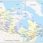
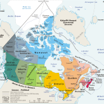
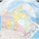
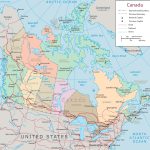
- Political map of Canada with borders and neighboring states
- Canada geopolitical
- States of Canada with borders
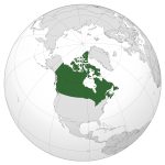
- Location of Canada on planet Earth
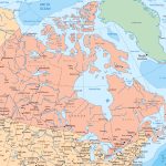
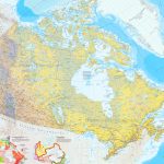
- Large detailed map of Canada with cities and towns
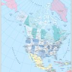
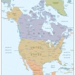
- Where is Canada in North America
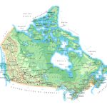
- Detailed road map of Canada
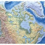
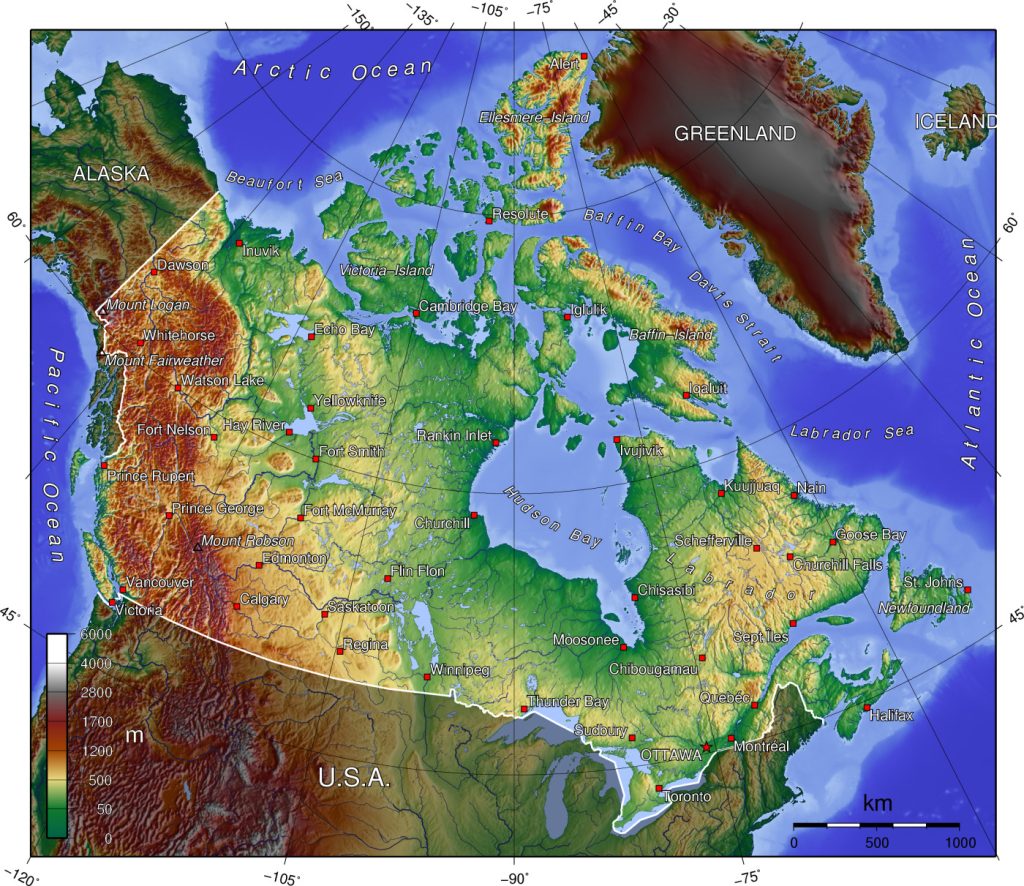
- detailed physical map of canada
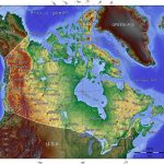
- Topography of Canada
Throughout this article, we will delve into the geography of Canada and its offerings for visitors. It’s a country that truly has something for everyone to enjoy. So whether you’re seeking an adventure in the great outdoors or simply looking to appreciate the beauty of nature, Canada is the perfect destination.
Where is Canada
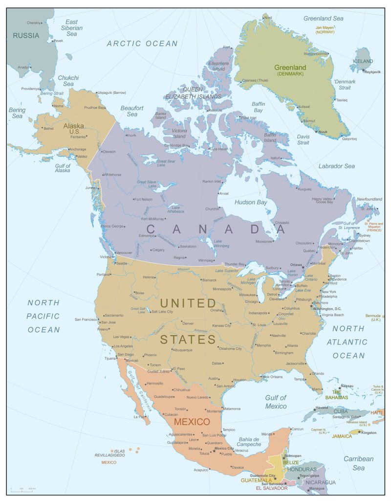 Canada occupies much of North America’s northern portion and stretches from Atlantic Ocean to Pacific Ocean east-west and from Arctic Ocean southward across several U.S states reaching down as far south as Lake Erie and Lake Ontario. The country borders three oceans: Arctic Ocean to its north, Atlantic Ocean on its east and Pacific Ocean on its west. To south it is bordered by USA (including Alaska). The geographical coordinates of Canada are 60°00′N 95°00′W / 60°N 95°W / 60; -95 .
The borders of the state
The longest land border between two countries in the world belongs to Canada and United States at 8893 km long (about 5500 miles). Canadian provinces also share borders with each other such as Alberta-Saskatchewan border which measures 651 km (about 404 miles). Provincial boundaries are generally determined by rivers and lakes or political borders established by treaties during colonial times.
The political map of Canada
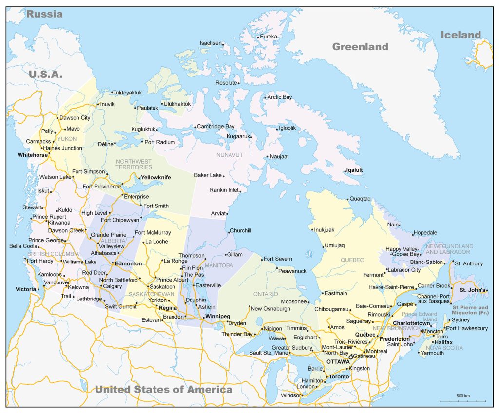 On a political map of Canada you will find all ten provinces (British Columbia, Alberta, Saskatchewan, Manitoba, Ontario, Quebec, Newfoundland & Labrador, Nova Scotia, New Brunswick & Prince Edward Island) along with three territories (Yukon Territory, Northwest Territories & Nunavut). You will also find national parks like Banff National Park located in Alberta or Jasper National Park located in British Columbia that both have been named UNESCO World Heritage sites due to their natural beauty. Additionally you can see major cities like Montreal located in Quebec province or Toronto located in Ontario province which both have distinct culture scenes with plenty of attractions for tourists visiting them. Lastly you can view vast expanses of untouched wilderness that still remain largely unexplored throughout many parts of Canada including Northern regions such as Yukon Territory where more than 50% of its total area consists unspoiled nature like boreal forests or tundra landscapes offering truly unique experiences for those ventured into these areas..
The highest point of the country
The highest point in Canada is located at Mount Logan which stands at 19550 ft/5959 m above sea level making it one of highest peaks not only in North America but also throughout world’s highest mountains list too! This mountain lies within Kluane National Park Reserve located near Southwest corner Yukon Territory near Alaska border close neighboring state’s Mount McKinley which stands slightly higher than Mount Logan at 20320 ft/6194 m tall making it highest peak US side US-Canada frontier line set between two countries’ territories respectively. The Canada, road map is a great helper when traveling by car.
Rivers, forest, lakes, mountains of Canada
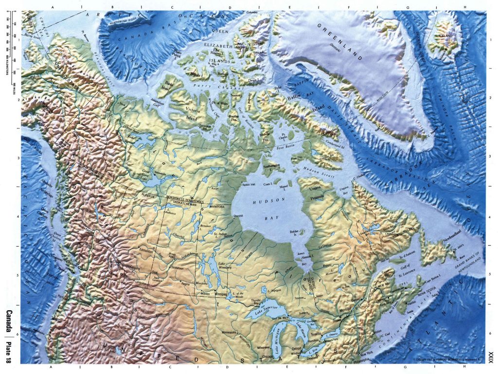 Canadian physical map displays countless rivers across nation’s broad expanse with sizable bodies water including such mighty flows as Mackenzie River stretching 4241 km/2637 mi length through Northwest Territories before emptying into Beaufort Sea up north beyond tree line while second biggest flow Fraser empties into Pacific ocean further south around Vancouver British Columbia area carrying impressive volume 6869 cubic meters per second average discharge rate along way conducting modern day commercial shipping activities supporting essential transportation needs shipments crossing over this route large amounts cargo goods getting shipped either away southern destinations like Seattle Washington USA side border or even further international destinations Asia continent today.
The main significant cities of the country
- Toronto: Toronto is one most populous cities not only within Canadian borders but throughout entire continent holding steady population well over 2 million inhabitants according latest census estimates being capital Province Ontario situated along northern shoreline Lake Ontario recently developed skyline draped skyscrapers silently creeping ever skywards even taking shape nearby City Center island’s downtown core featuring CN tower standing proud as unofficial symbol city itself home professional sports teams both hockey baseball represented Leafs Blue Jays franchise respectively.
- Vancouver: Vancouver situated western coast BC near Pacific ocean boasting some greatest scenery North America has offer from snow capped Rocky Mountain ranges sprawling city limits beaches naturally occurring bays surrounding area becoming popular tourist destination year round offering seemingly infinite array outdoor activities ranging sailing kayaking whale watching nearby seaside towns like Victoria conveniently accessible ferry services allowing easy access getaway weekend trips encompassing lush forests scenic hikes lasting memories created trip never be forgotten soon forgotten soon forgotten.
 The Guide Maps
