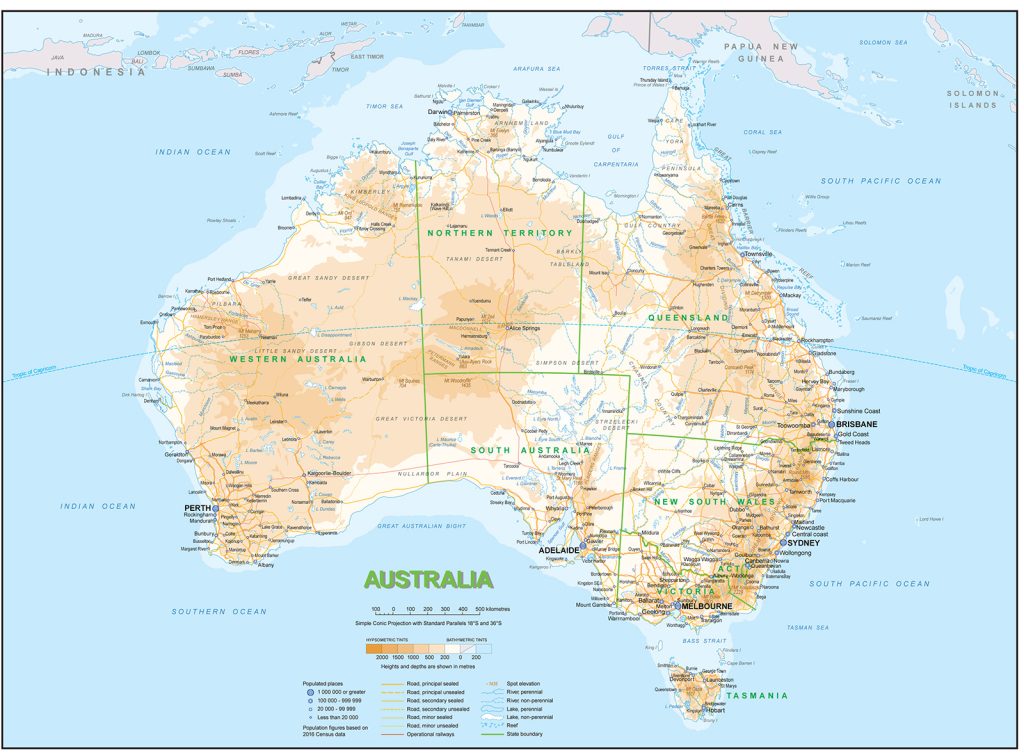
Map of Australia
Commonwealth of Australia map online
Australia is an extraordinary country. 50 thousand years ago it was inhabited by ancient tribes, and now it is one of the most developed countries in the world. The mainland was discovered at the very beginning of the 17th century by the Dutchman Willem Janszon .
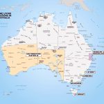
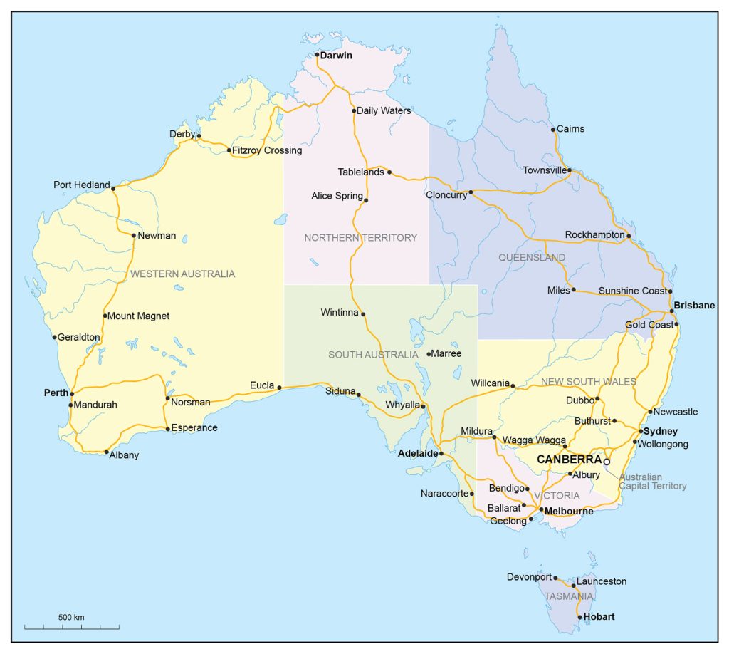
It consists of 6 states (New South Wales, Queensland , South Australia, Tasmania, Victoria, Western Australia) and 3 mainland territories (Northern, Australian Capital and Jervis Bay ).
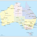
- Political map with states of Australia
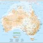
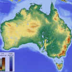
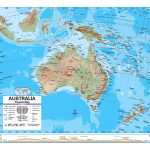
- Physical map of Australia
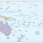
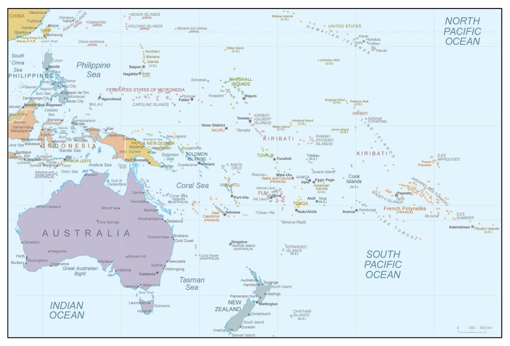
- Australia and Oceania
- Relief and rivers of Australia
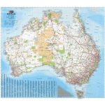
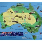
- Tourist map of Australia
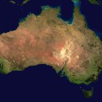
- Satellite image of Australia
- National parks of Australia
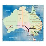
- Australia’s rail network
General description of the Commonwealth of Australia
Australia on the map is at the same time a state, the smallest continent and part of the world (Australia and Oceania).
The area of the Australian territory is 7,692,024 km², including islands, which allows it to take the 6th line among the largest countries, behind the Russian Federation, Canada, China, the United States of America and Brazil. The world map shows that Australia is 2.2 times smaller than the largest country, but 11 times larger than, for example, France. The length of the state from north to south is ~3,700 km, from west to east – ~4,000 km.
The country’s largest rivers are the shallow Murray, 2375 km long, and the Murrumbidgee, 1485 km.
“Green Continent ” is located below the others. Its average height above sea level is only 350 m, while in China this figure reaches more than 5000 m. The highest points of the mainland are the peaks of Twinoma (2196 m), Townsend (2209 m) and Kosciuszko (2228 m).
Despite the fact that Australia is completely surrounded by water and has many bodies of water, the main part of the territory is very dry and hot. Approximately 75% are deserts and semi-deserts. There is very little rainfall. The average air temperature is +30°C in summer (December to February) and +15°C in winter (June to August).
According to the map of Australia, it is located in three climatic zones: subequatorial on the northern coast, tropical in the middle part, subtropical along the entire southern strip. In more detail, each of them can be characterized as follows:
- From December to March, equatorial air masses are superior, bringing downpours. In winter (June to August) , clear dry weather prevails, formed by tropical masses.
- Air masses move from the Pacific Ocean to the east side of Australia. A sufficient amount of precipitation falls here (1000-1500 mm), and a comfortable temperature has been formed for life. However, the masses do not reach the western part, and it remains arid.
- In such areas, autumn and summer are very hot (~ + 26 ° C), it is always sunny. There is also little rainfall. The main occupation here is agriculture, as the subtropics are favorable for growing vegetables and fruits.
In addition to Tasmania, the list will also include the temperate zone, where the island is located.
Capital and largest cities of Australia
The capital of the Australian state is Canberra , its area is 814 km². The city is located in the eastern part of the country, in the state of Victoria, near the mountains of Brindabella , which is about 150 km from the coast.
The largest cities include:
- Sydney (~ 5,400,00 people ) ;
- Melbourne (~ 5,200,000 people ) ;
- Brisbane (~ 2,300,00 people );
- Perth ( ~ 2,000,000 pers .);
- Adelaide (~ 1,400,000 people );
- Gold Coast (~630,000 people);
- Newcastle Maitland (~450,000 people) .
Location of Australia on the world map
Australia is the largest country in the Southern Hemisphere that is not crossed by the equator and the prime meridian. Its extreme points:
- Cape York in the north (10 S lat . , 142 E);
- Cape Byron in the east (28 S lat . , 153 E);
- Cape South East Point in the south (39 S. lat . , 147 E);
- Cape Steep Point in the west (26 S lat . , 113 E).
The country is washed by the seas of the Pacific (in the north and east) and the Indian Oceans (in the south and west). These include: Arafura Sea, Coral Sea, Pacific Ocean, Tasman Sea, Indian Ocean, Timor Sea.
Other water bodies include:
- Great Australian Bight;
- Gulf of Carpentaria ;
- Port Phillip;
- Princess Charlotte Bay;
- Shark Bay;
- Bass Strait;
- Strait D’Entrecasteaux;
- Torres Strait.
There are practically no mountain ranges in Australia. Only the Great Dividing Range can be distinguished, stretching for 4000 km. Just here is the highest point – the top of Mount Kosciuszko.
State borders
The position of the mainland relative to other countries can be described as follows:
- in the north and northwest of Australia at a distance of 3000 km is Eurasia;
- in the northeast and east – North (16,000 km) and South America (14,500 km);
- in a southerly direction at 3100 km – Antarctica;
- in the west, after 6,000 km – Africa.
Australia has no land borders, but it has 7 sea routes to other states:
- to New Zealand via the Tasman Sea;
- Indonesia and East Timor via the Timor Sea;
- Papua New Guinea through the Arauf Sea;
- New Caledonia and Vanuatu through the Coral Sea;
- Solomon Islands through the Solomon Sea.
Relief of Australia
As mentioned earlier, Australia is a continent that is very low above sea level. There are no high mountain ranges here, and the relief is mainly formed by plains and plateaus: the Central Plain, the Nullarbor Plain , the Western Australian Plateau, the Kimberley Plateau. Only in the east of the country as part of the Great Dividing Range, especially closer to the south, there are mountains such as New England , Leichhardt , Hastings , Liverpool, the Blue Mountains and the Australian Alps.
In one resource: waterfalls, seas, rivers, lakes
Australia has few water resources due to its dry terrain. Only 1% of the world’s oceans are on this continent. Most watercourses are temporary and begin to overflow only in a certain season. However, this state has everything: a great many waterfalls, rivers, seas and lakes.
Looking at the map, the following unmentioned objects can be distinguished:
- Falls: Lesmurdie (Lesmurdie Falls National Park), Fortescue , Joffre (Carijini Park), Lane Pool (Northcliff), Horizontal Falls at Kimberley, Quinninup ( Wiliabrup ), Fernhook (Walpole), Mitchell (Kununurra).
- Rivers: Darling , Lachlan (NSW); Cooper Creek, Flinders , Diamantina ( Queensland ); Gascoigne , Ashburton , Murchison (Western Australia).
- Lakes: Eyre (largest, South Australia), Blue Lake (crater freshwater lake in South Australia), Hillier ( pink lake on Middle Island ), Torrens (salt lake in South Australia), Tethys (shallow salty reservoir in Western Australia).
Australia has no inland seas.
The largest cities on the map of Australia
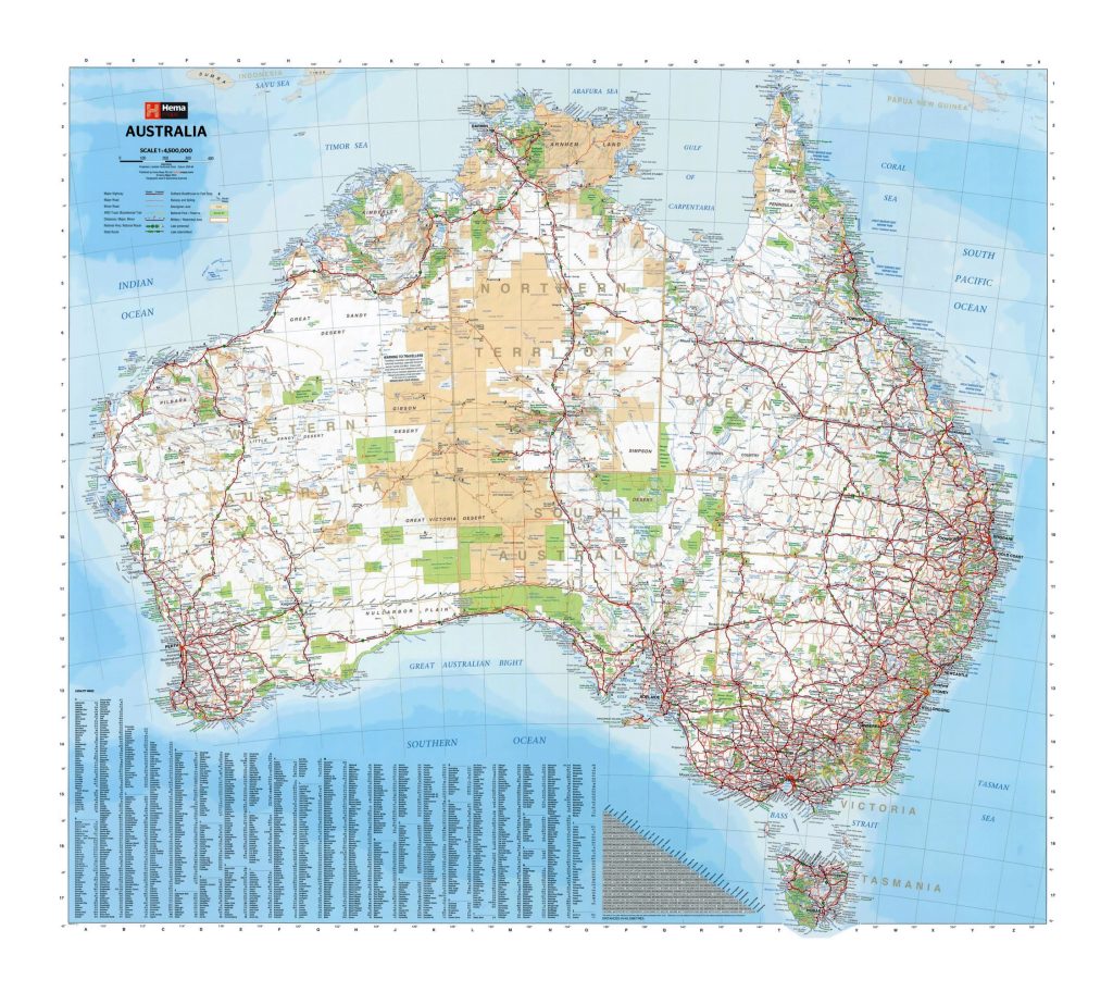 The map shows that a very small number of cities have been built in Australia – only 86. The largest are:
Sydney
This prosperous port city is often incorrectly referred to as the capital. However, this is indeed the main metropolis of the most visited state of New South Wales. It is located opposite the entire coast in the southeastern part. There are more than 100 recreation areas with access to the Pacific Ocean. Most of the residents are immigrants.
Melbourne
Melbourne is the capital city of the state of Victoria. It is considered the industrial and economic center of Australia. It is widely known for its architecture, which attracts a large number of tourists. There are dozens of beautiful parks and gardens here. The population of the city is multinational.
Brisbane
The center of Queensland is the city of Brisbane , located right in the east of Australia. It became the leader in population growth on the entire continent, continuing to increase its speed and develop. This part of the country is loved for its climate, infrastructure, warm ocean and new modern trends.
Perth
A map of Australia clearly shows that Perth is the capital of the state of Western Australia and one of the few cities on this side of the mainland. Here is one of the most ancient territories of the state. Most of the natives many thousands of years ago lived in this area. Now it is a very clean, warm, green city.
 The Guide Maps
