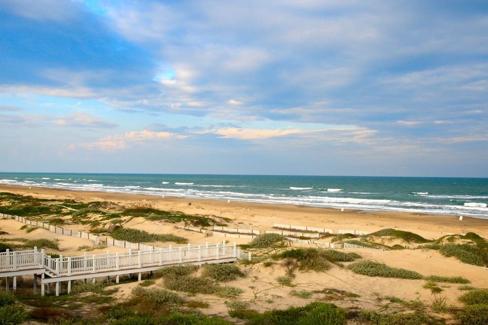
Corpus Christi map, Texas USA
Are you looking for an easy way to get oriented in Corpus Christi? Our detailed map of Corpus Christi with its roads, streets, and houses is sure to help. Whether you're visiting Corpus Christi for a day trip or relocating there permanently, this comprehensive map can provide invaluable guidance and insight into the area. Don't forget to take advantage of our annotated labels providing helpful landmarks such as airports, parks, shopping areas and public transit stops. With this tool in your pocket, it will be easy to find attractions like the USS Lexington Museum on the Bay or explore Padre Island National Seashore. Keep reading if you'd like to learn even more about navigating through Corpus Christi!
Interactive Map of Corpus Christi
Corpus Christi map collection
- Corpus Christi global map USA
- Corpus Christi Road Map
- Corpus Christi Map Texas
- Large detailed map of Corpus Christi
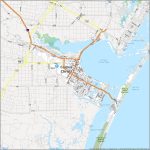
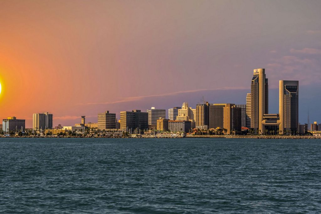 View this map of Corpus Christi with roads, streets and houses. Corpus Christi is a coastal city in the state of Texas, located on the Gulf of Mexico between Houston and Brownsville. It’s a great place to visit or even to live. Here’s what you should know about Corpus Christi.
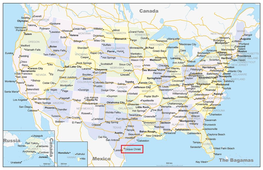
Where is Corpus Christi in Texas?
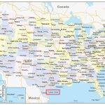
Corpus Christi is located on the east coast of Texas near the border with Mexico and is part of Nueces County. It’s about 175 miles from San Antonio, 220 miles from Austin, and about 230 miles from Houston. The Corpus Christi map is a great tool to avoid getting lost in an unfamiliar city.
The political map of Corpus Christi shows Nueces County and its major cities, including Corpus Christi itself. It also shows highways, rivers, lakes and other landmarks like Padre Island National Seashore, which is one of the most popular tourist attractions in Corpus Christi.
The physical map of Corpus Christi reveals the topography of the area with its distinct rivers and islands as well as other features like beaches, lagoons, estuaries and wetlands. You can also find Padre Island National Seashore on this map along with other points of interest like Mustang Island State Park and South Padre Island National Seashore.
Things to do In Corpus Christi
There’s plenty to see and do in Corpus Christi! Whether you’re looking for outdoor activities such as camping or hiking at Mustang Island State Park or birdwatching at South Padre Island National Seashore; water sports such as fishing or kayaking; family fun activities like visiting Schlitterbahn Waterpark; cultural attractions like art galleries or museums; shopping; dining; nightlife; and more—there are tons of great things to experience in this coastal city! The map of Corpus Christi perfectly shows the shape of the city and its location.
Nearest cities to Corpus Christi
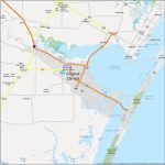
Corpus Christi has some nearby cities worth exploring while you’re here! Some notable ones include Kingsville (31 miles away), Alice (38 miles away), Beeville (62 miles away), Port Aransas (72 miles away), Robstown (77 miles away)and Refugio (90 miles away). All these cities offer unique attractions for you to enjoy! A map of the surroundings of Corpus Christi will give you the best way to understand the surroundings of the city.
Transport accessibility Corpus Christi
The nearest airport to Corpus Christie is the International Airport of Corpus Christie located approximately 7 km from downtown Corps Christie. Other nearby airports include Victoria Regional Airport (97 km)and San Antonio International Airport (147 km).
Amtrak operates several trains through the area including stops at Rockport Station (46 km)and Refugio Station (87 km). As an alternative option there’s also the Greyhound Bus Station downtown near Shoreline Boulevard which offers connections to many other parts of the United States.
Two main highways connect Corpus Christi with other parts of Texas: US Highway 181 runs northeast towards Victoria while US Highway 77 runs south towards Brownsville via Kingsville, Alice and Robstown. In addition, there are several smaller roads running through different parts of Nueces County that make up local routes for travel around the area.
Closest big city to Corpus Christi Texas
The closest big city to Corpus Christi is San Antonio which lies approximately 175 miles northwest from Corpus Christi by road via US Highway 181/77/35 making it a comfortable day trip if you’re looking for something more urban than what you’ll find locally in Nueces County.
Is Corpus Christi a good place to live in Texas?
Absolutely! Corpus Christi has been voted one America’s best cities for quality living due to its low cost-of-living combined with its moderate climate year-round–it has warm summers but rarely ever gets unbearably hot–which makes it ideal for retirees seeking good value when relocating after retirement or families looking for a comfortable place to call home without breaking their budget too much either way. In addition, there are plenty of parks & recreational facilities catering specifically toward families complete with playgrounds & swimming pools plus lots more so whatever your needs may be Corpus Christi has something that fits them perfectly!
The reference map of Corpus Christi provides a visual overview of the city’s geography and key landmarks, making it a valuable tool for planning a trip and navigating the area. Whether you’re interested in exploring the bayfront, visiting museums, or discovering the city’s unique wildlife, a reference map can help you get the most out of your travels.
 The Guide Maps
