Map of Dominican Republic
Dominican Republic map online
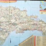
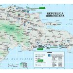
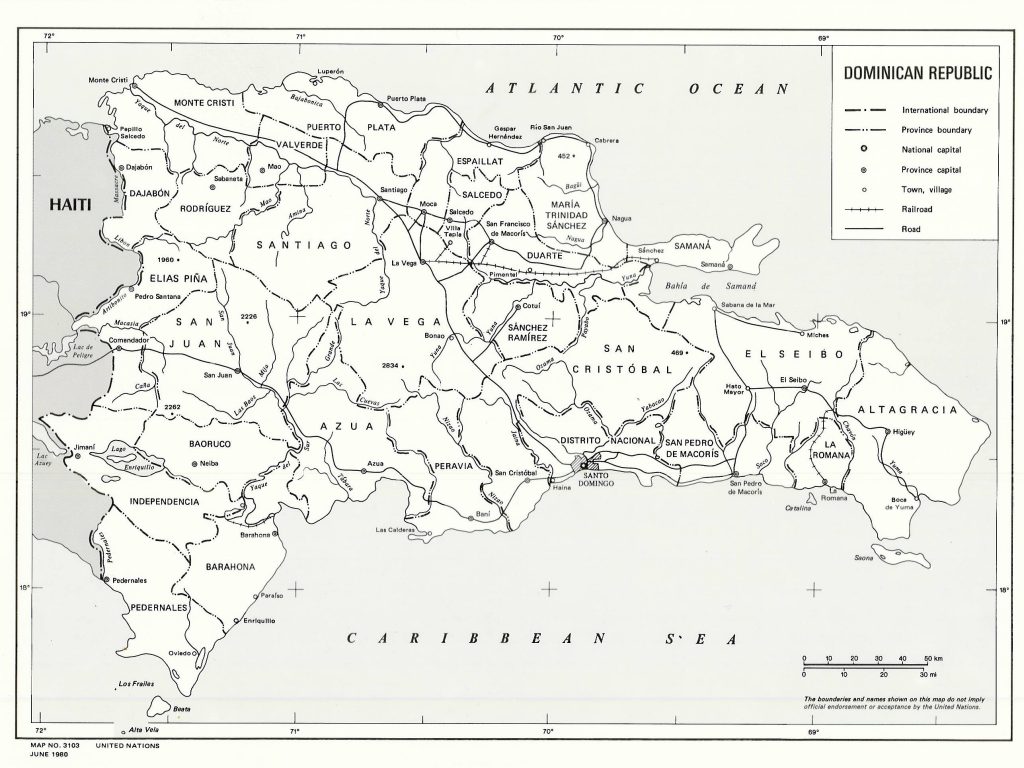
- Major roads in the Dominican Republic
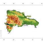
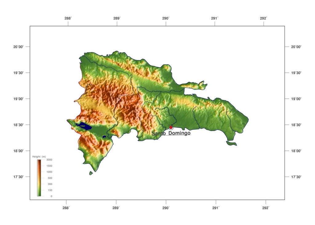
- Relief and rivers of the Dominican Republic
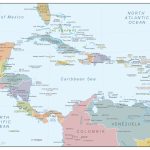
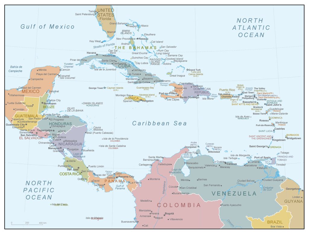
- Location of the Dominican Republic on the map of Central America
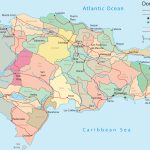
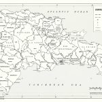
- Political map of Dominican Republic
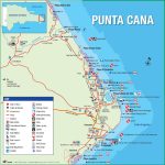
- Punta Cana in the Dominican Republic
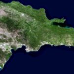
- Satellite image of the Dominican Republic
General description of the Dominican Republic
The Dominican Republic on the world map is one of the sovereign states of the island of Haiti in the Caribbean. Its area is 48,671 square kilometers. This is 1.5 times more than that of the nearest western neighbor – the Republic of Haiti, but 2 times less than Cuba. By the consonance of names , the Dominican Republic is sometimes confused with Dominica, a small island state located on the world map between Guadeloupe and Martinique.
The Republic is located on the North American continent in the tropical zone, where the average temperature rarely drops below 32-25 degrees Celsius. Although in mountainous areas the climate is somewhat milder. The relief map of the Dominican Republic is known for several of the highest points: the peaks of Duarte (3087 m) and La Pelona (3085 m). Three-thousanders are located next to each other, in the province of San Juan. More than a hundred rivers flow on the territory of the state, the largest are Jaque del Norte (296 km) and Giuna ( 209 km ) .
The capital of the Dominican Republic , Santo Domingo, is located in the south of the country, at the mouth of the Ozama River. The most important industries of the country are concentrated here, the seaport operates intensively all year round. The population is more than 1 million 128 thousand people. The largest cities include:
- Santiago de los Treinta – Caballeros (more than 1 million people);
- Punta Cana (more than 325 thousand people);
- Concepcion de la Vega (more than 248 thousand people);
- San Pedro de Macoris (more than 217 thousand people);
- San Francisco de Macoris (more than 188 thousand people);
- Higuey (more than 168 thousand people).
Location of Dominican Republic on the world map
The Republic is located in the Northern Hemisphere, in the heart of the Caribbean archipelago. The island of Haiti, on which the state of the same name in the east borders on the Dominican Republic , is part of the Greater Antilles. The former name of the island is Hispaniola , in size it is second only to Cuba.
Dominican Republic is separated from Puerto Rico in the east by the Mona Strait , the south of the coast is washed by the Caribbean Sea, and the north by the Atlantic Ocean.
The Dominican Republic also includes many small islands, here are the largest of them: Sayuna, Catalina, Beata, Cayo Levantado.
Relief
The northwestern and southeastern parts of the territory are characterized by mountainous landscapes. From south to west, the Cordillera Central extends through the center of the republic . With the exception of the peaks of Duarte, Yaque, Bandera, Miho and La Rusilla, the height of the mountains does not exceed 1800 m.
Almost half of the population lives in the fertile Cibao Valley , which stretches 240 km from the western border with Haiti to the east of the country. To the southwest of the Cordillera Central lie two valleys: the San Juan River flows along the north, while the south is a dried-up sea strait, only a couple of salt lakes have survived in this place. One of them – Enriquillo – is the lowest point (44 m below sea level) not only of the country, but also of the region.
Water resources
To the southwest of the Cordillera Central lie two valleys: the San Juan River flows along the north, while the south is a dried-up sea strait, only a couple of salt lakes have survived in this place. The largest of them, Enriquillo , is the lowest point (44 m below sea level) not only of the country, but also of the region. Here, because of salt deposits, it is the most infertile region of the Dominican Republic.
The two largest rivers of the territory – the Jaque del Norte and the Giuna – originate in the Central Cordillera and are fed by the water of their tributaries.
The largest cities on the map of Dominican Republic
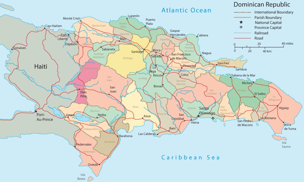 The country map includes the most interesting cities for travelers.
Santo Domingo
The capital of the republic, located on the flat coast of the Caribbean Sea in the southern part of the island. Tropical trade winds make the weather comfortable throughout the year. Cultural, financial and economic center of the republic, the heart of sightseeing, educational and festival tourism.
Santiago de los Treinta – Caballeros
The largest supplier of tobacco and the second largest city in the Dominican Republic is located in the center of the republic. Universities, food and chemical industries, cathedrals, museums and palaces are concentrated here. Santiago de los Treinta – Caballeros is also known for its bustling nightlife.
Higuey
The city in the east of the republic is an important point on the pilgrimage map : the Basilica of the Holy Virgin of Altagrassia is located here. The Roman Catholic Cathedral, built in the spirit of modernism, attracts not only in terms of religion, but also architecture. Fans of eco-vacation come here to relax in rope camps, in addition, here are the cleanest beaches in the Dominican Republic.
 The Guide Maps
