Map of Europe
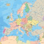
Europe map online
A separate continent, an independent part of the world, a fan of “commanding the parade” in matters of a planetary scale. Regalia, ambitions and virtues are innumerable, and even the map of Europe is intricate. You can’t comprehend its subtleties from a run, but a detailed acquaintance promises a lot of discoveries.
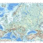
- Large detailed physical map of Europe
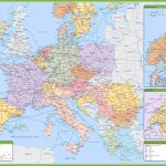
- Road map of Europe with major highways
General description of Europe
“Old” Europe, as the masters of the artistic word like to call it, has the status of one of the 7 earthly continents. Based on the vast continent of Eurasia. If you look for Europe on a map or on a globe, it will immediately become clear that it occupies the northwest of a giant piece of land, is washed by many waters, and gives shelter to 5 dozen states.
From now on, it’s time to plunge into its geographical characteristics in more detail, calling on the data on its research to help:
- A fragment of the possessions of the Northern Hemisphere of our planet.
- The area of the Europe continent is 10.3 million sq. km.
- It is not considered a giant, except that Oceania and Australia will give odds in size, significantly inferior in area to all other parts of the world, even silent snow-covered Antarctica.
- Europe borders on the map with the only neighbor – part of the world and the continent of Asia. The path of the border lines is ornate and passes through mountains, rivers, seas and depressions. It is just right to devote a separate “lesson” to its trajectory.
- The coast substitutes for “bathing” the Atlantic and Arctic Ocean, together with the seas belonging to them, boasts a huge constellation of islands and peninsulas.
- The number of rivers and lakes on the map of Europe is in the The most significant “strings”: Volga, Dnieper, Rhine, Danube, Elbe. Important for the continent are lakes such as Ladoga, Onega, Balaton, Geneva .
- Plains in Europe prevail over mountain peaks, and yet there are several high “points” in this part of the world: Elbrus (5642 m), Mont Blanc (4808 m).
- The collection of varieties of climatic zones with not the most massive area of the continent is extensive: “master” – the climate is temperate continental, but there are also areas with arctic, subarctic, semi-desert and Mediterranean.
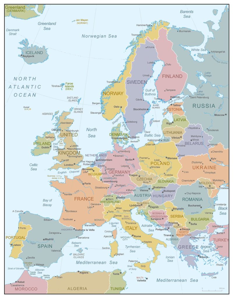
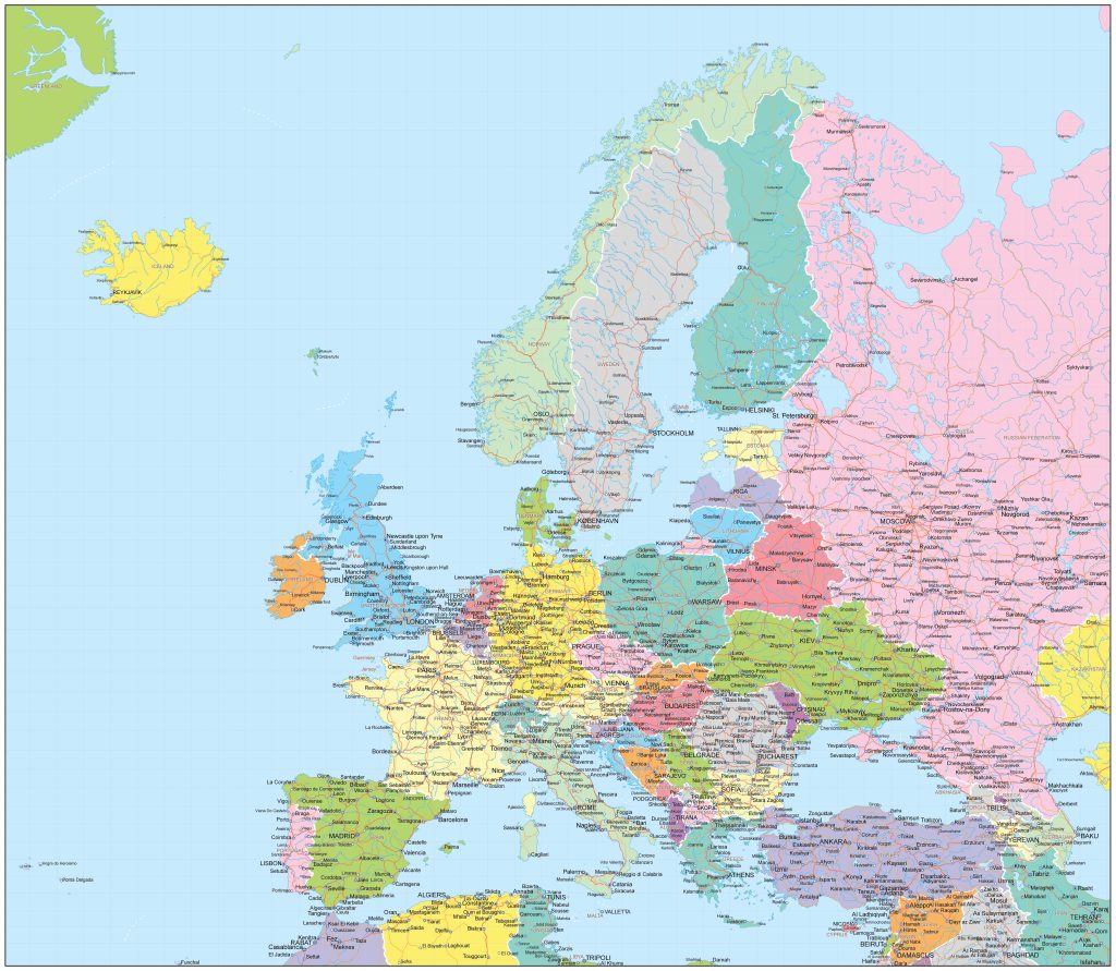
Political map of Europe with state borders and their names
Cities more or less iconic in Europe, what is on the map, what in life has gathered visibly-invisibly, to choose the most important of them means to offend the rest. However, the following megacities hold the palm in terms of population:
- Beauty Moscow has long been a permanent home for 13.0 million inhabitants.
- Turkish Istanbul sheltered 9.8 million people.
- The English “lord” London attracted 8.9 million citizens to their lands.
- Petersburg lured 5.6 million citizens into its nets with its architectural splendor and subtle soul.
- Strict Berlin seduced devoted Germans in the amount of 3.7 million with pedantry and stability of life.
- The beauty and mass of attractions keeps the attention and constancy of 3.3 million Spaniards Madrid.
- Rome, unique in its charm, envelops the attention of 2.8 million of its subjects with an eternity of exquisite antiquities.
- The Frenchman Paris won the hearts of 2.2 million people with his aristocratic charm.
The map of Europe clearly shows that the continent can conditionally be divided into macro-regions, each of which is worth talking about separately.
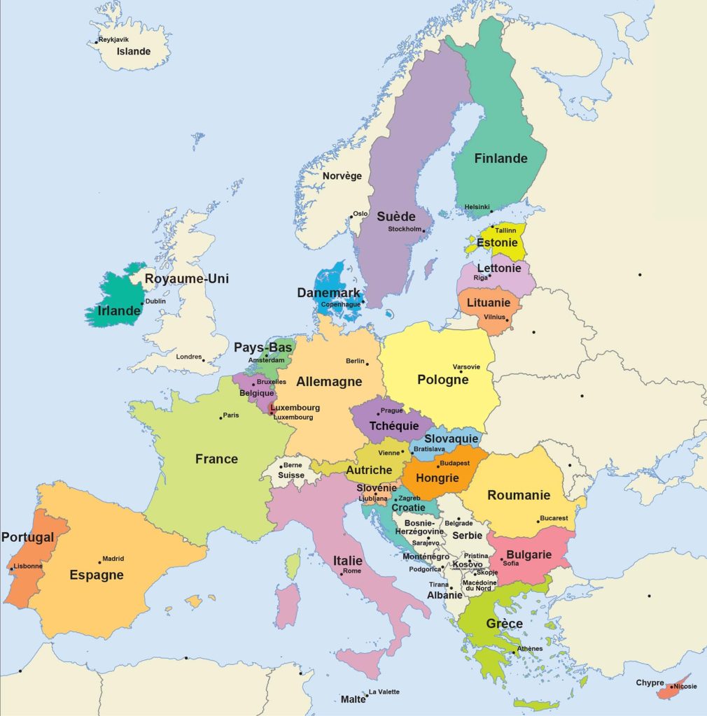
Map of european union countries
Regions of Europe on the map
Among the iconic regions of the continent, there are no winners or losers in any individual categories. Each of them, an adherent of their traditions, has become the homeland for the army of fans of Europe, who never even think about changing their place of residence to another part of the world.
Eastern Europe
“Occupied” for life by the Slavic peoples. It is located on the map between the territories of Western Asia and Central Europe. The list of countries included in this fragment of “common” Europe consists of 10 powers. These are Russia, Belarus, Ukraine and Moldova from among the states of the post-Soviet space. Czech Republic, Slovakia, Romania, Bulgaria, Hungary, Poland in their current version, repeatedly changing after the Great Patriotic War.
Northern Europe
It unites countries with a “Nordic” character and a more severe climate than those of heat-loving neighbors. The heart of the region is Scandinavia (these are Norway, Sweden and Denmark). AT In addition to them, according to various sources, it is recognized as the unification of Great Britain with all its vassals (Normandy, Ireland, Scotland), countries from the former socialist camp (Latvia, Lithuania, Estonia), “makeweight” from Finland and Iceland. The population density is the lowest in Europe. Not everyone likes some privacy of possessions and frequent cold.
Southern Europe
The owner of popular world resorts and especially beautiful areas located on the Mediterranean coast. The states gathered here are “hot” in temperament: Portugal, Spain, Italy, Croatia, Serbia, Montenegro, Albania, Bosnia, Herzegovina. There are several “dwarf” countries: Monaco, the Vatican, San Marino, Andorra. There will also be “comrades” whose status is still not certain. These are fragments of the territory of Malta and Turkey. It is famous for its huge peninsular land areas: the Balkans and the Pyrenees.
Western Europe
The region is ambiguous, even the map does not help for the reason that there are states on its territory, it is not clear what jurisdiction they belong to: Great Britain, Ireland, Germany, Liechtenstein and Monaco, Austria, Switzerland. They are sometimes listed in the “catalog” of Central Europe, and here they apply for membership. “Pure residents” of the macro -region : France, the Netherlands, Belgium, another miniature participant – Luxembourg. With the rest, the identification remains controversial.
Due to the ambiguous position on the map, the classification of Greece and Macedonia also “fluctuates”. They occupy places in the southeast of the continent. By and large, they can be attributed to both Eastern and Southern Europe. Go figure out this dilemma.
The largest metropolitan areas in Europe
 The five “giants” in the register of cities in Europe differed from other settlements not only by an impressive number of inhabitants, but also by other characteristics. Here is a brief “report” about them.
Moscow
The capital of the Russian state. Continental “golden” champion in terms of footprint. Lives on the banks of the Moskva River , and even the Oka and the Volga “grabs” in places . It is better to search on the map in the very heart of the East European Plain. It owns untold riches from among the rare ancient sights . The most popular center of world tourism.
Istanbul
An exotic oriental handsome man – there are few of them on the planet. It is washed by the waters of the Marmara and Black Seas. Guru of trade, Mecca of tourism. One bewitching Bosporus on the outskirts of the city is worth something. He then divides here 2 continents. He managed to collect on his lands the charm of Europe and the colorful sophistication of Asia. Good as a resort. The climate here is subtropical with an admixture of the northern influence of severe winds.
London
Capital of the United Kingdom. It is famous for eternal fogs and rather cool climate. Claims to be the guru of globalism in all European issues. It is located neatly on the line of passage of the zero meridian. The relief is flat, the area of the settlement is impressive – 1580 sq. km. It is surrounded on all sides by man-made forest and shrub plantations, designed to preserve the city in its original form without “blurring” its borders.
St. Petersburg
Northern and cultural capital of Russia. Location – the coast of the Baltic Sea. Head of the northwestern territories of the state. Surrounded by many picturesque islands. Several rivers flow through the city. It is famous for its humid climate in all 4 annual seasons. It has long been the center of world attraction thanks to luxurious architectural masterpieces, parks, museums with unique expositions of art objects.
Berlin
Capital of Germany. Located in the eastern lands of this country. Residential buildings and public buildings occupy the banks of 2 rivers: Spree and Havel. The climate is moderate. Winter and summer behave as expected, without any special surprises. Near the city there are a couple of hills, hills, making the relief in the district uneven. But the skillful Germans turned this small disadvantage for a comfortable life into a continuation of its merits. They built everything here beautifully, but smoothly.
 The Guide Maps
