Map of Germany
Federal Republic of Germany map online
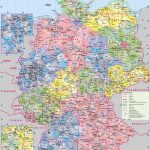
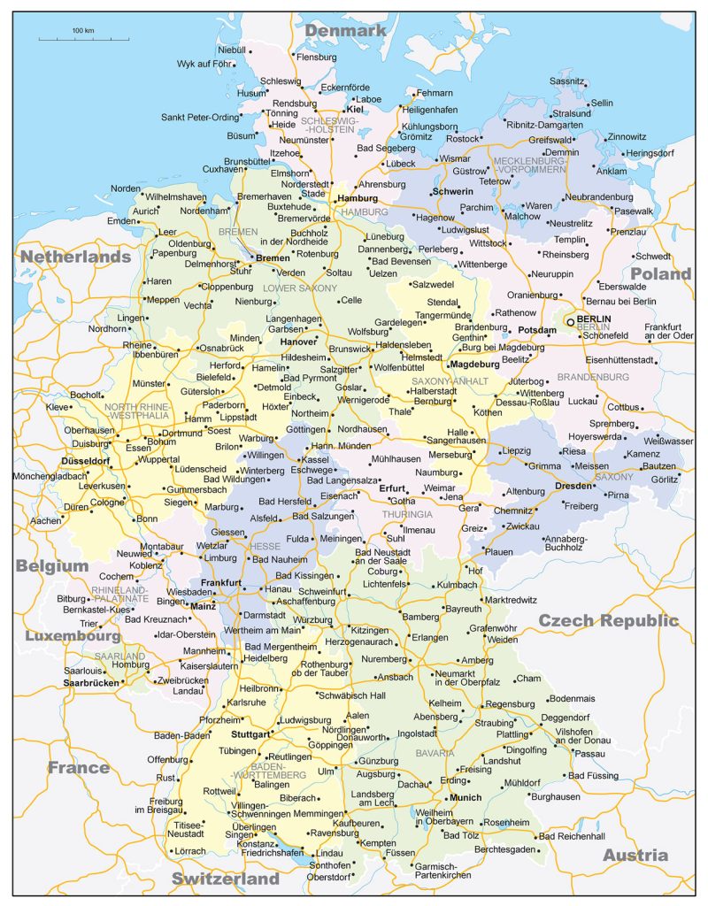
- Germany road map with city names
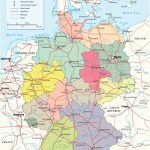
- Map of the administrative regions of Germany
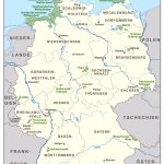
- National parks in Germany
General description of the Federal Republic of Germany
The Federal Republic of Germany (FRG) on the world map is located in Central Europe.
The territory of Germany (including the water surface) is 357.4 thousand km 2 , which allows it to occupy the 62nd place in the ranking of countries by territory, being between Japan (377.9 thousand km 2 ) and the Republic of the Congo (342.0 thousand km 2 ). Among 46 European countries, Germany is in 8th place, behind Russia, Ukraine, France, Spain, Sweden, Norway and Kazakhstan.
The map of Germany is covered with rivers: more than 700 of them flow here. The Rhine and Elbe are the two largest rivers in Germany. The highest point of the state is Mount Zugspitze, its height is 2962 m. The second largest is Mount Hochwanner with a height of 2744 m.
The country has a temperate climate with cool winters and warm summers. Extremely high or low temperatures, as well as extreme weather conditions, are rare here. The average temperature in January is +4 °C, in July – +22 °C.
General map of Berlin with borders and capital
The capital of the state – Berlin, is located in the north-east of the country and is entirely one of the 16 federal states of Germany.
The largest cities in Germany are:
- Berlin (3.52 million people);
- Hamburg (1.79 million people);
- Munich (1.45 million people);
- Cologne (1.06 million people);
- Frankfurt am Main (732.7 thousand people);
- Stuttgart (623.7 thousand people);
- Düsseldorf (612.2 thousand people);
- Dortmund (586.2 thousand people).
Location of Brazil on the world map
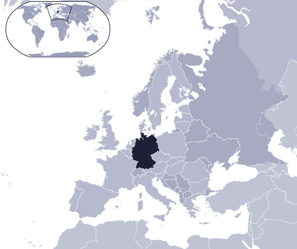
Location of Germany on the map of Europe
On the map of Europe, Germany occupies a central position. Almost the entire northern part of the country is washed by the waters of the North and Baltic Seas, the length of the coastline is 2.4 thousand km.
Germany has borders with 9 countries. In the west, Germany borders on 4 states: Belgium, the Netherlands, France and Luxembourg. In the east of the country there is a border with Poland and the Czech Republic, in the south – with Switzerland and Austria. The northern land border, only 68 kilometers long, separates the territories of Denmark and Germany.
The Alps in the south make up a small part of the country’s natural border.
Relief
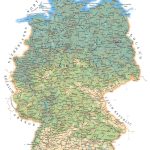
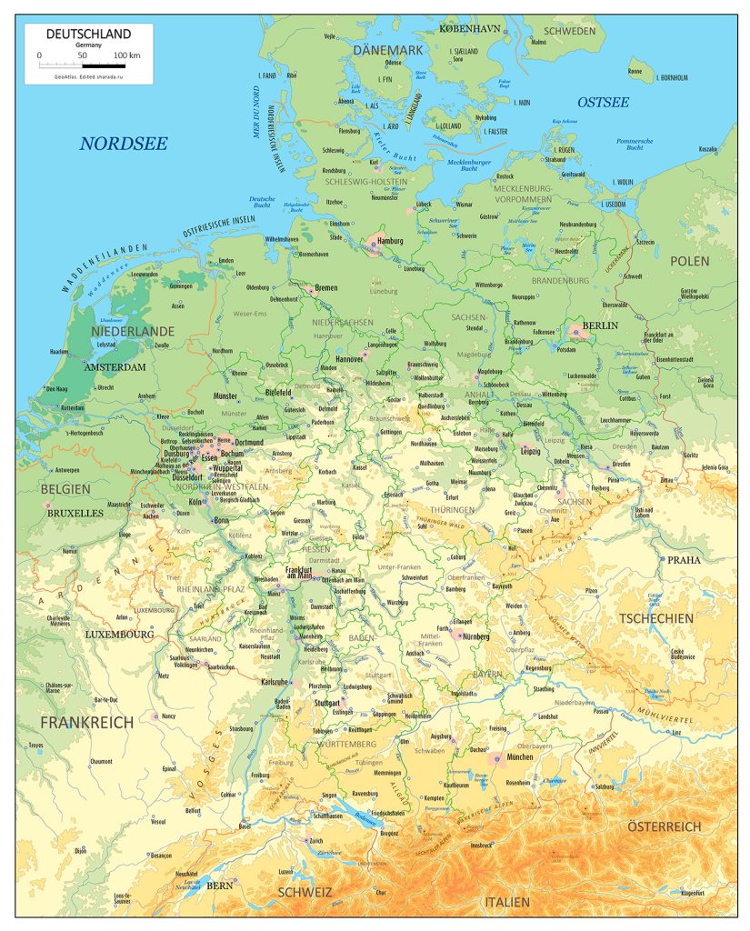
Physical map of Germany with relief and rivers
On the geographical map of Germany, the division of the country according to the relief into 3 parts is strongly pronounced.
The north is a plain, which is called the North German Plain. Here, on the territory of the federal state of Schleswig-Holstein, is the lowest point in Germany – 3.54 meters below sea level.
In the central part of Germany, the middle mountains are mainly located. The Taunus, Spessart, Eifel, Hunsrueck, Jura mountain ranges , as well as the well-known Black Forest with extensive forests, occupy a significant part of the country’s territory.
To the south lie the Bavarian Alps with the Zugspitze, the highest point in Germany.
Water resources: seas, rivers and lakes
Almost a third of Europe’s water resources are concentrated in Germany.
The largest rivers are the Rhine with tributaries Neckar , Main, Mosel, Elbe with tributaries Havel and Saale, as well as the Danube (the second largest river in Europe after the Volga), the Oder and the Weser.
The Rhine (in the southwest) and the Elbe (in the northeast) cut right through the country and empty into the North Sea. The Danube originates in the Black Forest mountains and flows to the Black Sea, to the east.
The largest lakes in the country are concentrated in the foothills of the Alps. Bodensee is in first place, its area reaches 538 km 2 . There are also lakes such as Ammersee and Chiemsee .
The largest cities on the map of Germany
In terms of population, Berlin, Munich, Hamburg and Cologne are the largest in Germany.
Berlin
Berlin is the capital of Germany. Among the countries of the European Union, it ranks first in terms of population and third in size (1213 km 2 ).
The city is located in the north-east of the country, 70 km from the border with Poland, on the river Spree. This part of the state has a low terrain and lies between the moraine uplands of Teltow and Barnim.
Berlin is an independent federal state and is surrounded on all sides by the territory of Brandenburg.
Munich
Munich – the administrative center of the federal state of Bavaria – is located in southern Germany and lies on the Isar River . The Wurm is the second local river in the city.
The Alps lie 30 kilometers south of Munich, and the Zugspitze mountain can be seen here with the naked eye. Also in the immediate vicinity of the city there are many lakes: Eibsee , Ammersee , Chiemsee and others.
Hamburg
Hamburg on the map of Germany is located in the north and lies on the Elbe River at the place where the Alster and Bille flow into it. The location of the city makes Munich one of the largest port cities in Europe.
Hamburg, like Berlin, is a federal state, bordered to the south by Lower Saxony and to the north by Schleswig-Holstein.
Koln
City of the federal state of North Rhine-Westphalia. Located in the western part of the country, on the banks of the Rhine.
Cologne lies in the Cologne Lowland. The slate mountains, the mountainous Sauerland region , the Eifel highlands practically surround the city.
 The Guide Maps
