Map of Brazil
Federative Republic of Brazil map online
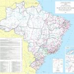
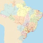
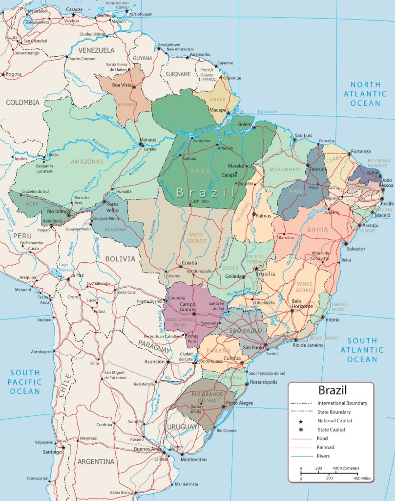
- Large detailed political and administrative map of Brazil
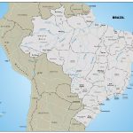
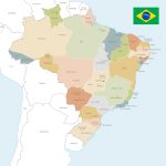
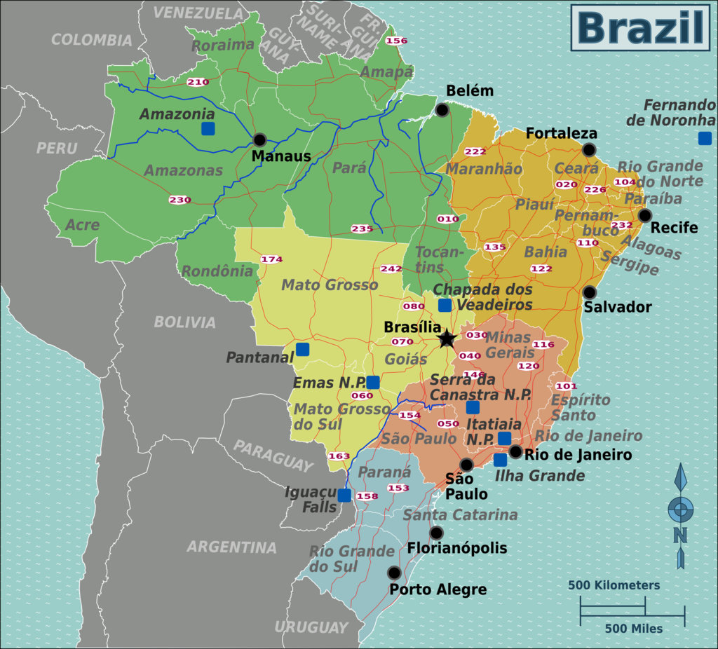
- Brazil states map
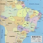
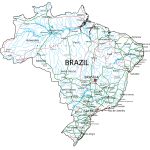
- Political Map of Brazil With Cities
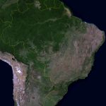
- Detailed satellite map of Brazil
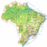
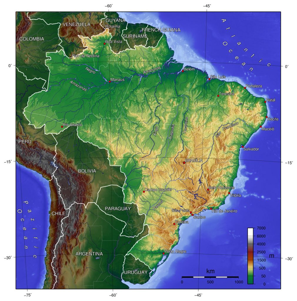
- Detailed elevation map of Brazil with cities, roads and airports
General description of the Federative Republic of Brazil
Brazil is the largest country on the map of South America. The area of the state is 8,515,767 km 2 , which is almost half of the continent.
The name of the state comes from one of the names given to the territory when it was annexed to Portugal. Brasil was the name of a tree, a highly prized timber exported from the South American regions. According to another version, the name comes from the Old Norse name Brasil , a mythical island in the Atlantic Ocean.
Brazil is crossed by the equator. Most of the country is located in the Southern Hemisphere and only a small part – in the Northern. The outline of the map of the country resembles a triangle, but the longest parts of the territory from north to south and from west to east are almost equal – 4320-4328 km.
It is the longest country from north to south.
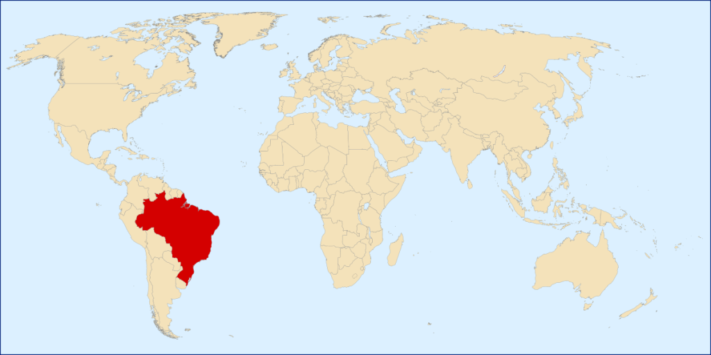
Location of Brazil on the world map
On the world map, Brazil can be found in the Eastern Hemisphere.
Brazil shares common borders with all South American states except Ecuador and Chile.
In the north, the country borders with Venezuela, Havana, Suriname and Guiana. They are partly separated from Brazil by the Guiana Plateau. In the northeast, Brazil is in contact with Colombia, to the south of which is Peru. Together with him, Bolivia borders on the eastern part of Brazil. In the southeast, the country borders on Paraguay, a small part of Argentina, and the southern part rests on Uruguay. From the west, Brazil is washed by the Atlantic Ocean.
Climate zones
The territory of Brazil includes several climatic regions:
- Equatorial . Covers the western part of the Amazonian lowland. The climate of the region is humid.
- Subequatorial . The climatic zone of the eastern part of the Amazonian lowland and the adjacent slopes of the Guinean and Brazilian plateaus. In the region, the drought period lasts 3-4 months. In the northeast of the plateau, the climate is very dry.
- Tropical . On the east coast, the climate is humid and hot, with trade winds constantly rising – winds blowing from the tropics to the equator. The dry period of the region is very short.
- Subtropical . It extends from the eastern hills to the southern border. The region has a humid climate.
Relief of Brazil
The relief of Brazil is very diverse – from lowlands to high mountains.
In the northern part of the country, the Amazon Basin forms the Amazonian Lowland. Closer to Guiana, the lowland passes into the hilly Guiana Plateau. The highest point in the area is Pico de Neblina, 2995 m.
To the south and northeast of the Amazonian lowland rises the Brazilian Plateau. Approaching the Atlantic coast, it breaks off abruptly, forming the Atlantic Lowland. The southeastern part of the plateau consists of a complex system of ridges. Here is the highest point of the plateau – Mount Bandeira 2890 m.
The northwestern part of the plateau is a hilly area.
Water resources
The northeast, east and southeast coasts of Brazil are washed by the Atlantic Ocean. The territory of the country is densely cut by river systems. The largest of them is the Amazon basin, washing the northern and central parts of the country. The Amazon is the second largest river in the world and the largest basin in terms of size.
The Paraguay River flows to the west. It is a tributary of the Parana, which, together with the Uruguay River, irrigates the south of the Brazilian Plateau. To the east is the basin of the San Francisco River , which is succeeded by smaller rivers in the northeast.
Flora of Brazil
Tropical forests cover the Amazonian lowland, the Atlantic coast and Cerrado , a region of the Brazilian plateau.
In the southern regions of the country, araucaria grow, the thickets of which form forests. On the northeast coast are mangroves – forests growing in the tide zone.
Many regions suffer from deforestation, so the territories are taken under protection along with the animals living on them.
The largest cities on the map of Brazil
There are several very large cities in Brazil.
Sao Paulo
On the map of Brazil, the city is located in the southeast and is the administrative center of the state of the same name. Sao Paulo is located 70 km from the Atlantic coast. It is crossed by the Tropic of Capricorn, the southernmost latitude at which the noonday sun rises to its zenith.
Rio de Janeiro
The city is located in the eastern part of the country in the bay of Guanabara . It is divided by hills into northern and southern parts. The southern part is almost entirely made up of beaches. The western part is cut off by ridges through which roads and tunnels are laid.
Brasilia
The capital of Brazil is located in the central part of the country. The city was built in the once desert region of the Brazilian Plateau at an altitude of 1200 km above sea level. Nearby, a dam was built on the Paranoa River, which formed a reservoir.
Salvador
The city is easy to find on the map on the east coast of the country, on a peninsula between the Atlantic Ocean and the Bay of All Saints. It is on two levels. The lower one is located at sea level and is a shopping center. You can get to the top by a lift.
Fortaleza
Fortaleza is the capital of the state of Bahia located on the northeast coast. Mangrove forests have been preserved in coastal areas. The colonial architecture is being restored in the city.
Belo Horizonte
The city is located in the southeastern part of Brazil, at the point where the Brazilian Plateau passes into the Atlantic Lowland, at an altitude of just under 1 km above sea level. The Ribeiro Arrudas River flows through the city , heavily polluted with domestic, industrial and sewage waste.
Manaus
Manaus is located in the heart of the Amazonian rainforest, at the confluence of the Rio Negro River into the Amazon. Despite the fact that the city was built in the middle of forests, it is densely built up and there are few green areas on its territory. But there are many of them outside the metropolis.
Main directions of tourism
Main tourist destinations
- Rio de Janeiro. The most famous Brazilian city thanks to the largest carnivals, the famous statue of Christ the Savior and the equally popular Copacabana beach , which stretches for 4 km.
- Brasilia. The layout of the city resembles an airplane or a bird. There are many beautiful and famous buildings here: the National Museum, the Palace of Justice, etc.
- Fos do Iguacu . The area attracts with its proximity to the famous waterfalls, the view of which opens from the park of the same name. There is a bird park and very picturesque places.
- Manaus attracts tourists at the confluence of the black waters of the Negro River and the brown waters of the Solimoes. Here you can go canoeing, walk in the rainforest and relax in hotels in the jungle. Manaus has many nature reserves, parks and protected areas.
Tourist regions
The territory of Brazil can be divided into 5 tourist regions:
- North. The region includes part of the Amazonian rainforest with rivers. Here you can get acquainted with the life of local Indians. In this part of the area there is a unique reserve Pantanal, with flora and fauna characteristic only of this region.
- Northeast. The region is famous for the mixture of cultures of local peoples: kaipiri and descendants of Africans. Beaches stretch along the entire coast, mountain routes are laid in the plateaus, waterfalls seethe and there are abandoned mines.
- Central West. The region has a variety of natural areas, national parks with canyons and waterfalls, hot springs. There are also well-preserved historical centers of the colonial era.
- Southeast. The region is known for attractions and entertainment for every taste – football , samba, carnival and others. Another advantage of the region is the cleanest beaches near the fishing villages.
- South. It is distinguished by exotic nature, comfortable beaches and historical monuments included in the UNESCO World Heritage List. The region is famous for its national parks with waterfalls and a wide variety of flora and fauna.
 The Guide Maps
