Gaza Strip map
General map of Gaza Strip live
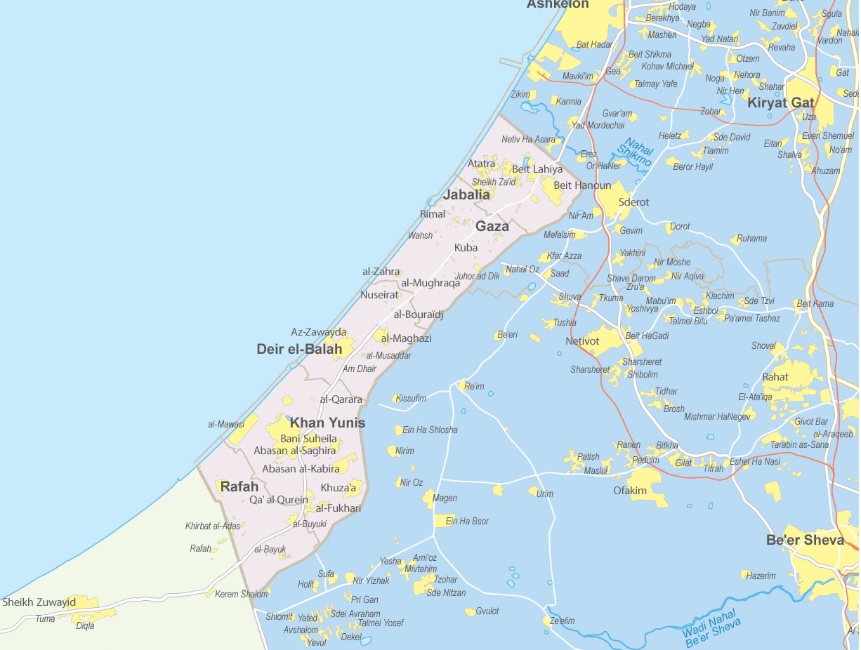
Gaza Strip on the map of Israel
Have you ever located the Gaza Strip on a world map? Do you know what this region looks like in detail? Join us in exploring the intricate geography of the Gaza Strip, highlighting its streets and houses, in our engaging discussion today.
Where is Gaza Strip Located?
The Gaza Strip, a name often heard in international news, is situated in the Eastern Mediterranean region. To pinpoint its location, simply find Israel on the world map. Noticed it? Great! Now, look towards its southwestern edge. There you’ll observe a small, densely populated piece of land nestled between Israel and Egypt — that’s the Gaza Strip!
Detailed Gaza Strip Map
But where can one find a detailed map showing streets and houses of the Gaza Strip? For this, online interactive maps are your best bet. These resources often provide high-resolution images allowing you to zoom in and explore the area’s infrastructure in fine detail.
Have you ever zoomed into a region on a digital map, finding yourself immersed in its layout? Try it with the Gaza Strip map available on our website. It offers a meticulous view of its bustling streets, residential houses, schools, and other landmarks.
Gaza Strip’s Geographic Characteristics
As a geography aficionado, it’s fascinating to observe the topography of different regions, isn’t it? The Gaza Strip extends over approximately 365 square kilometers (about 141 square miles), making it one of the most densely populated areas globally. Its landscape predominantly consists of flat or rolling sandy dunes.
As you scan the territory, you’ll notice dense clusters of houses and buildings concentrated along the coastline. This is where the majority of the population lives, in cities like Gaza City, Khan Yunis, Rafah, and Deir al-Balah. The urban landscape quickly gives way to agricultural lands andopen spaces as you look east towards the border with Israel. Date palms, olive groves, and greenhouses dot the landscape.
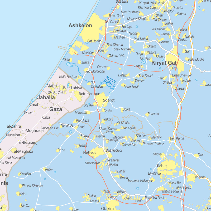
Now let’s zoom out and situate the Gaza Strip within the broader geographical context. Bordering the Mediterranean Sea to the west, the Gaza Strip shares its northeastern border with Israel and its southwest border with Egypt. Both Israel and Egypt have maintained tight control over the land crossings in and out of Gaza since the early 2000s. This means travel between Gaza and the outside world is extremely restricted. Goods and supplies must be shipped through Israeli controlled ports.
Did you know? The area experiences a Mediterranean climate with mild winters and dry, hot summers. The topography and climate together create a unique environment, affecting the living conditions and lifestyles of its inhabitants.
Understanding Gaza’s Infrastructure
Exploring the Gaza Strip map with streets and houses in detail, have you noticed the tightly packed buildings? The urban areas are notably congested, with narrow streets winding through neighborhoods of tightly packed houses. Amidst this dense infrastructure, you’ll also spot patches of agricultural land, vital for the local economy.
Are you aware of how geography impacts daily life? In the Gaza Strip, the compact urban design significantly influences residents’ lives, affecting everything from traffic patterns to social interactions.
Engaging with Gaza’s Geography
To truly appreciate the geographic nuances of the Gaza Strip, consider comparing its detailed map with those of other regions. Notice the differences in street planning, housing arrangements, and land use. Isn’t it intriguing to see how geographic constraints shape human settlements and activities?
For instance, observe the road networks. Do you see how they adapt to the region’s size and topographic constraints? The streets are primarily narrow and crowded, reflecting the necessity to accommodate a large population within limited space.