Georgia map, USA
General map of Georgia live
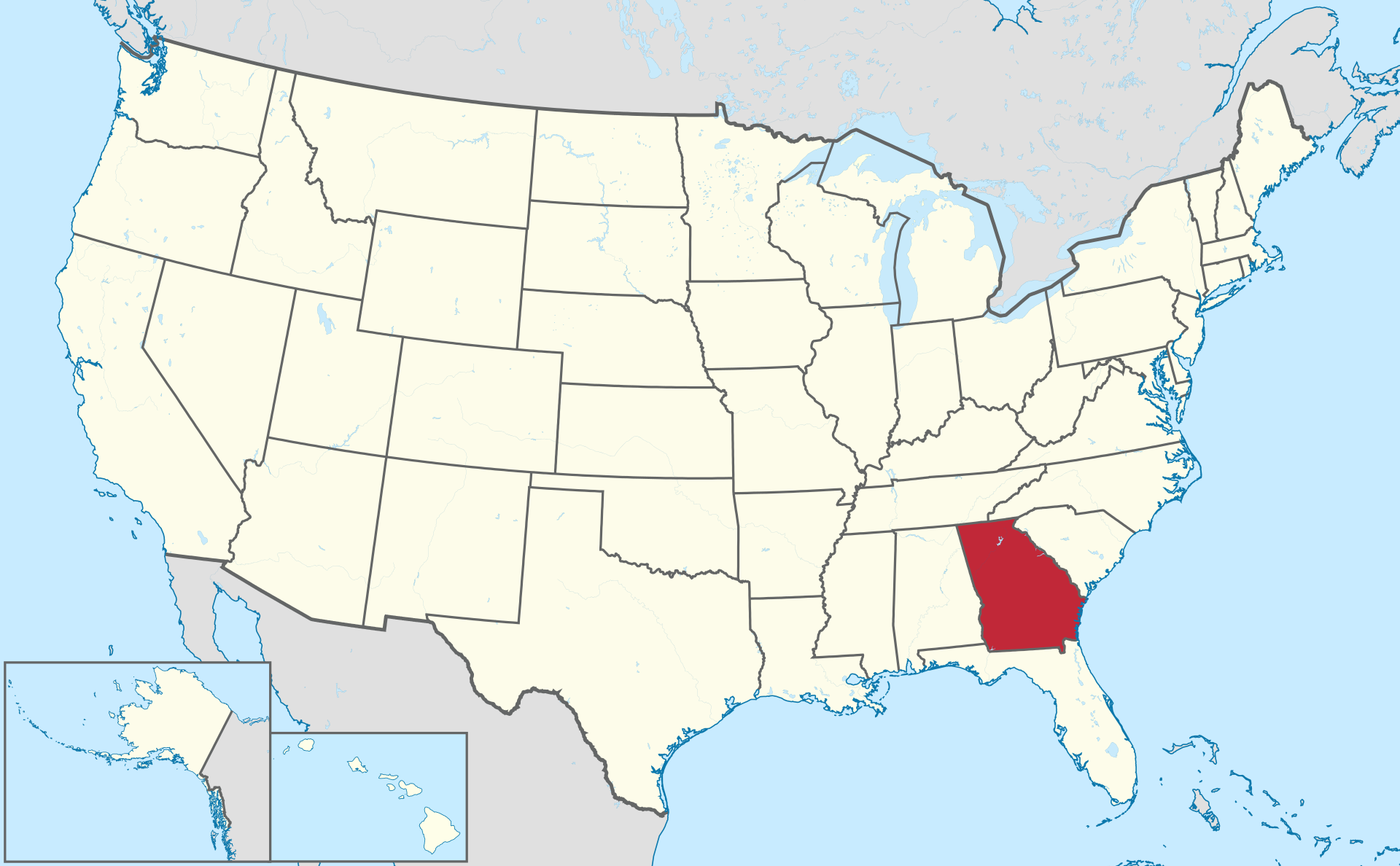
Location of the state of Georgia on the US map
The state of Georgia on the map is located in the southeast of the United States, it belongs to the South Atlantic states. The administrative center and capital of Georgia is Atlanta. The city on the map of Georgia is located in the northern part of the region.
Georgia has borders with several US states:
- South Carolina in the northeast;
- North Carolina and Tennessee in the north;
- Alabama in the west;
- Florida in the south.
On the east side, the coast of Georgia is washed by the Atlantic Ocean.
Location map of Georgia in the US.
The territory of Georgia is occupied by two geographical regions of the United States. In the northern part, these are the southern spurs of the Appalachian mountain system, consisting of the districts: Blue Ridge in the northeast and Ridge and Valley in the northwest. To the south, the mountains pass into the Piedmont Plateau , on which the central part of the state is located. Most of Georgia is occupied by the plain of the Atlantic Lowland, which occupies the southern and partly central regions.
The highest point in Georgia – the top of Brasstown Bold belongs to the Blue Ridge Range . Its height is 1458 m (4784 ft). The two largest rivers in Georgia form borders with neighboring states:
- Chattahoochee, 700 km (435 mi) long with Alabama;
- Savannah River, about 500 km (311 mi), with South Carolina
Georgia has a lot of forests covering a large part of the state. They are dominated by mid-latitude trees, especially pine. In the south, subtropical ones such as saw palmetto are also found .
In the ocean of Georgia , there is a chain of islands, of which two are large: Cumberland – 150 km 2 (58 sq. miles), St. Simons – 45 km 2 (17 sq. miles). They are luxurious resorts.
Major cities of Georgia on the map
Atlanta
Atlanta is the capital of the state of Georgia and the seat of Fulton County. The city itself is home to 500 thousand people, it is the center of an agglomeration of cities and towns with a population of 6.1 million people. The metropolis formed around the central city , in terms of the number of inhabitants among such formations, is in 8th place in the United States.
Atlanta is located on the hills in the spurs of the Appalachian Mountains at an altitude of 300 m (984 feet) above sea level. In terms of GDP, the city ranks 10th in the United States and 20th in the world. It houses the main headquarters of such world giants as Coca – cola , CNN , Delta . Atlanta airport is the busiest in the world. At the same time, Atlanta is considered the greenest among the major cities in the country, for which the National Geographic called it “the place of a lifetime”.
In 1996, Atlanta became the capital of the Summer Olympic Games.
Augusta
Augusta is the center of the urban district of Richmond with a population, including suburban towns , of 528 thousand people. It is the third largest city in Georgia . Augusta is a port city on the Savannah River, bordering the state of South Carolina through it. The city is dominated by blacks. Augusta is the center of US cybersecurity , the US Army Cyber Command is based in the city . Augusta is famous for its golf course and golf club . The city hosts an annual Masters series tournament .
Columbus
Columbus was named after Christopher Columbus. On a map of Georgia , it is located on the Chattahoochee River , along which the border with Alabama runs, 160 km southwest of Atlanta. The population of the city is 206 thousand people. Columbus Square 572.6 km2 . In total, 328 thousand people live in Muskogee County , the center of which is the city . Often the population of Columbus is counted along with a number of suburbs. In this case, it approaches half a million inhabitants.
Savannah
As you can see on the map of Georgia , the city of Savannah is located at the mouth of the river, after which it got its name. It was the first capital of the state of Georgia . The population of the city is 147 thousand people. , the urban agglomeration based on it has 404 thousand inhabitants. Savannah is one of the largest ports in the United States. The area of the city is 281.5 km2 .
The city has a rich historical past and is well preserved, which makes it a major tourist center, which, along with the port, trade and the military department, brings the main income to the city treasury. Savannah is prone to flooding, and five canals and several pumping stations have been built to mitigate the impact.
The number of tourists in Savannah is constantly growing, their annual number exceeded 15 million people.
Athens
Athens or Athens is a city on the map of Georgia , 110 km northeast of Atlanta. It is a city -county. The population of the city part is 111 thousand people, and the district of Athens-Clark County , whose capital is Athens – 192 thousand. The city area is 306.2 km2 .
The main institution of the city since 1785 is the University of Georgia. Numerous technology companies have formed around it, including those specializing in pharmaceuticals and biotechnology. The city is one of the world’s centers of contemporary music, with a number of notable bands associated with it. Venue for music festivals.
| № | Locality | State | Coordinates | Stations |
|---|---|---|---|---|
| 1 | Yonkers | Georgia | - | 0 |
| 2 | Warner Robins | Georgia | - | 0 |
| 3 | Vidalia | Georgia | - | 0 |
| 4 | Tybee Island | Georgia | - | 0 |
| 5 | Toccoa | Georgia | - | 0 |
| 6 | Thomaston | Georgia | - | 0 |
| 7 | Stevens Creek | Georgia | - | 0 |
| 8 | Statesboro | Georgia | - | 0 |
| 9 | St. Marys | Georgia | - | 0 |
| 10 | Rincon | Georgia | - | 0 |
| 11 | Newnan | Georgia | - | 0 |
| 12 | McDonough | Georgia | - | 0 |
| 13 | Kingsland | Georgia | - | 0 |
| 14 | Johns Creek | Georgia | - | 0 |
| 15 | Green Island Hills | Georgia | - | 0 |
| 16 | Goose Pond (historical) | Georgia | - | 0 |
| 17 | Blue Ridge | Georgia | - | 0 |
| 18 | McDaniel Manor | Georgia | - | 0 |
| 19 | Fort Benning | Georgia | - | 0 |
| 20 | Flowery Branch | Georgia | - | 0 |
| 21 | Fairburn | Georgia | - | 0 |
| 22 | Eatonton | Georgia | - | 0 |
| 23 | East Point | Georgia | - | 0 |
| 24 | Cumming | Georgia | - | 0 |
| 25 | Cumberland Island | Georgia | - | 0 |
| 26 | Bulloch Crossroads | Georgia | - | 0 |
| 27 | Brunswick | Georgia | - | 0 |
| 28 | Blue Ridge | Georgia | - | 0 |
| 29 | Blanchard Park | Georgia | - | 0 |
| 30 | Beaver Run | Georgia | - | 0 |
| 31 | Balus Creek | Georgia | - | 0 |
| 32 | Bainbridge | Georgia | - | 0 |
| 33 | Athens | Georgia | - | 0 |
| 34 | Americus | Georgia | - | 0 |
| 35 | Adairsville | Georgia | - | 0 |
| 36 | Atlanta | Georgia | - | 0 |