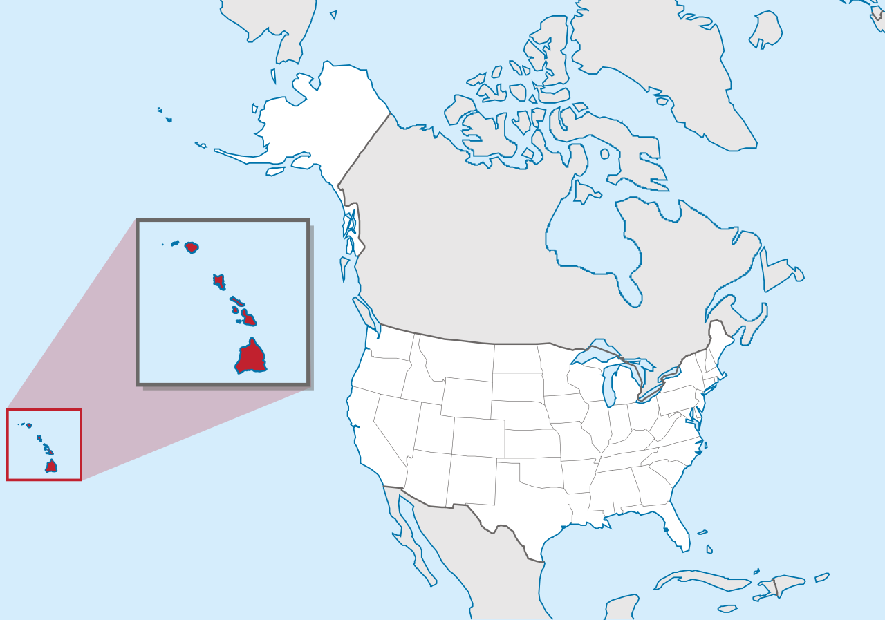
Hawaii map, USA
General map of Hawaii live
The islands of Hawaii are the visible peaks of a chain of underwater volcanic mountains that extend all the way to the Aleutian Trench of the Pacific Ocean. It is the only US state that is completely island-based.
The geographical position of the state of Hawaii on the map of the USA
On the map, Hawaii is located in the northern part of the Pacific Ocean at a distance of 3700 km southwest of the mainland of North America (between 19 and 29 north latitude). This is the world’s largest island chain, consisting of 24 islands and atolls, covering an area of 28,311 square meters. km.
Location map of Hawaii in the US.
The state of Hawaii officially became part of the United States under the name Aloha after the passage of legislation on August 21, 1959. The capital of Hawaii is the city of Honolulu, located on the island of Oahu . Most of the inhabitants of the region (75%) live here.
The official language on the islands is English, Hawaiian. Along with them, Japanese is used in tourist areas. There are also other languages of ethnic groups living in the state.
As part of the Hawaiian archipelago, the map shows 8 large islands, which are considered the main ones:
- Hawaii;
- Maui ;
- Molokai ;
- Lanai ;
- Oahu ;
- Kauai ;
- Niihau .
Of these, only 7 are permanently inhabited. In addition to the islands, the archipelago includes atolls – inactive fragments of volcanic rocks surrounded by coral reefs.
The highest point in the state that can be seen on a map of Hawaii is the dormant volcanic mountain Mauna Kea . Located on the island of Hawaii, it rises to a height of 13,796 feet (4,205 m). Waimea Canyon on Kauai is one of the island’s most impressive landforms. The islands are also known for having many volcanic craters, canyons and waterfalls. Kilauea is the youngest volcano that still erupts from time to time. Other notable volcanoes include Maui ‘s Haleakala , Oahu ‘s Diamond Head , and Kauai ‘s Mount Waialeale .
There are no major navigable rivers in Hawaii. The Anahulu on Oahu , the Wailua on Kauai , and the Wailuku on the Big Island (Hawaii) are the most significant small rivers.
Major cities of Hawaii on the map
The inhabited islands of the state of Hawaii are divided into 5 districts. The major cities and towns of which are as follows.
Honolulu
The seat of Honolulu County is the city of Honolulu, which is also the capital and largest port of Hawaii. It is located on the island of Oahu on the leeward side. With a total area of 177.2 km2, this modern metropolis extends for about 16 km along the southeast coast and deepens into the island for 6 km. It reaches the foot of the Kuilau ridge, a part of the slope of the volcano’s crater that has survived from ancient times.
Pearl city
Pearl City is located 18 km northwest of Honolulu, located along the northern shore of Pearl Harbor Bay . It occupies an area of about 15 km2 . Of these, only 12.9 km 2 are land. And the remaining 2.1 km2 is the water area. The territory of the village rises about 2.9 km above sea level. Its relief is mostly long, lush hills. To the west of it is the city of Waipahu , and to the east is the city of Aiea .
Hilo
Hilo is the largest city on the island of Hawaii and the administrative center of the eponymous district. It is the second largest and most populous in the state. The area of the city is 151.4 km 2 . It is also the wettest city in the United States with over 70 inches of rain per year.
Not far from the village there are two famous volcanoes: Mauna Loa , Mauna Kea . On the territory of the National Park, 18 km from the village, there is the highest waterfall of the islands – Akaka .
Waipahu
The community of Waipahu is located in Honolulu County on the northern shore of the Western Bay of Pearl Harbor . This settlement is unique with sharp elevation changes. Its areas are located at an altitude of 142 to 1247 meters above sea level. Water streams flow through its territory, such as the Waikele and Kapakahi streams. The area of Waipahu is about 7.25 square meters. km
It is mostly sunny here, with around 276 sunny days, more than the national average of 205 days. However, rainfall is around 17 inches, much less than the US average of 38 inches.
| № | Locality | State | Coordinates | Stations |
|---|---|---|---|---|
| 1 | Wheeler Army Airfield | Hawaii | - | 0 |
| 2 | Wailea | Hawaii | - | 0 |
| 3 | Waikoloa Village | Hawaii | - | 0 |
| 4 | Waikoloa | Hawaii | - | 0 |
| 5 | Schofield Barracks | Hawaii | - | 0 |
| 6 | Punahou | Hawaii | - | 0 |
| 7 | Pearl City, Manana | Hawaii | - | 0 |
| 8 | 'O'okala | Hawaii | - | 0 |
| 9 | Mililani Town | Hawaii | - | 0 |
| 10 | Kula | Hawaii | - | 0 |
| 11 | Keolu Hills | Hawaii | - | 0 |
| 12 | Keaukaha | Hawaii | - | 0 |
| 13 | Kailua Village (historical) | Hawaii | - | 0 |
| 14 | Ka'anapali | Hawaii | - | 0 |
| 15 | Hau'ula | Hawaii | - | 0 |
| 16 | Punahou | Hawaii | - | 0 |
| 17 | Kula | Hawaii | - | 0 |
| 18 | Kapa'a | Hawaii | - | 0 |
| 19 | Kainaliu | Hawaii | - | 0 |
| 20 | Captain Cook | Hawaii | - | 0 |
| 21 | 'Alewa Heights | Hawaii | - | 0 |
| 22 | 'Aiea | Hawaii | - | 0 |
| 23 | 'Ewa Beach | Hawaii | - | 0 |
| 24 | Barbers Point Housing | Hawaii | - | 0 |
| 25 | Honolulu | Hawaii | - | 0 |