Honolulu map, Hawaii USA
Discover the beauty of Honolulu, Hawaii with a comprehensive map that showcases both its physical and administrative features. On this map, you'll find the stunning Pacific Ocean and historic Pearl Harbor, as well as the majestic mountains, hills, and valleys that make up the landscape. Find your way around with ease, thanks to the clearly marked main thoroughfares and residential streets, as well as famous landmarks like parks, beaches, and iconic buildings. The map also outlines the city limits of Honolulu and highlights popular neighborhoods like Waikiki, Kaimuki, and Manoa, along with political divisions and zip codes. Use this map as your guide for navigating, planning, and understanding this amazing city.
Interactive Map of Honolulu
Honolulu map collection
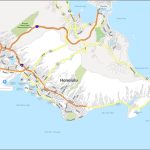
- Honolulu Road Map
- Honolulu Map Hawaii
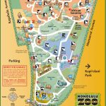
- honolulu zoo map
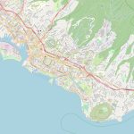
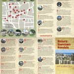
- Honolulu downtown map
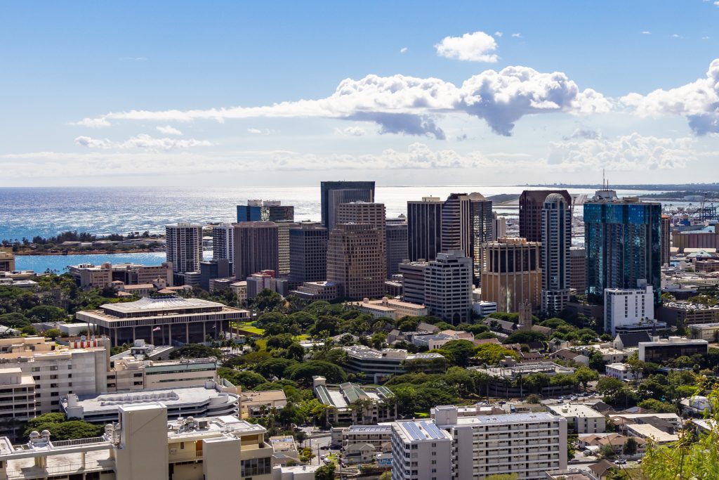 View this map of Honolulu with roads, streets and houses. Honolulu is the capital of Hawaii and the largest city in the state. It is situated on the south-eastern coast of Oahu island and is a hub for business, culture, education, and entertainment. With its stunning natural beauty and vibrant atmosphere, Honolulu is one of the most popular vacation spots in the United States.
Where is Honolulu in Hawaii?
Honolulu is located on Oahu Island at 21°18’ North latitude and 157°51’ West longitude. It lies near the southern tip of Hawaii’s main island chain. The city occupies a total area of 135 square miles (350 km2) and has an elevation of 9ft (3m) above sea level. The Honolulu map is a great tool to avoid getting lost in an unfamiliar city.
Honolulu political map
The Honolulu political map enables you to see how the city’s boundaries have been established over time. It also shows nearby townships such as Waipahu, Aiea, Pearl City, Kailua, Kaneohe, Waimanalo Beach Park and Kaaawa Valley State Park. Other landmarks represented on this map include Ala Moana Beach Park, Diamond Head State Park, Bishop Museum and Honolulu Zoo.
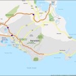
Physical map of Honolulu USA
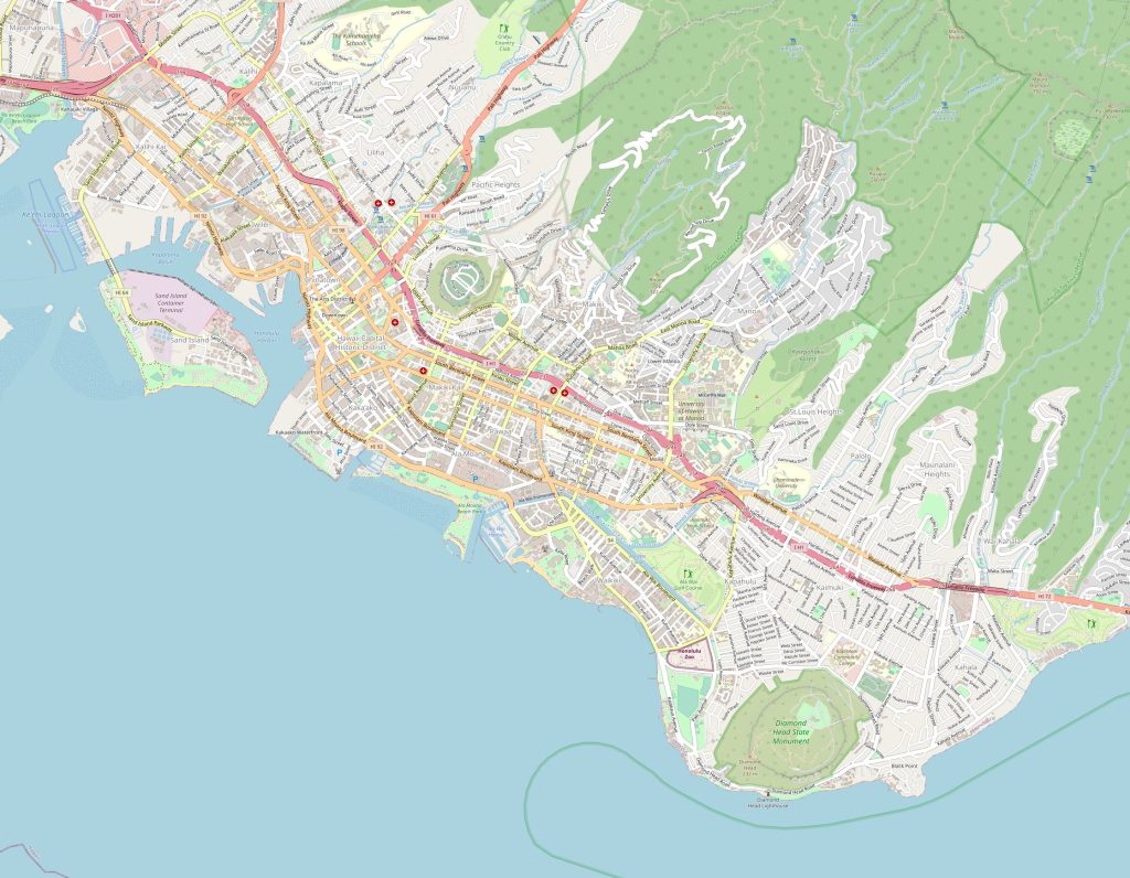 The Physical map of Honolulu USA showcases various geographical features like mountains, valleys, rivers etc. One can clearly observe that there are five major mountain ranges surrounding the city – Ko’olau Mountains to the North East; Waianae Mountains to the West; Koolau Mountains to the South East; Waiakamali Mountains to the South West; Manoa Valley to the North West. Additionally, one can witness several other features such as wetlands (like Pearl Harbor), geological formations like Punchbowl Crater or Diamond Head Crater; water bodies like Kapiolani Park Pond or Mauna loa Bay; bridges like Keehi Lagoon Bridge or Nuuanu Pali Bridge etcetera.
Things to do in Honolulu USA
Honolulu offers plenty opportunities for visitors looking for recreation or relaxation! Visit iconic sites such as Pearl Harbor Memorials or hike up Diamond Head Mountain for panoramic views of Waikiki Beach from atop its volcano formation! If you’re looking for some urban adventures head downtown where you can explore Chinatowns cultural riches and sample local eateries known around world! Or take a stroll through Manoa Valley where you can find several native plants endemic only to Hawaii! And if those aren’t enough then check out Ala Moana Shopping Center which provides plenty shopping experiences with 200 stores under one roof! The reference map of Honolulu serves as a starting point in the world of traveling around the city.
Nearest cities to Honolulu
Hawaii’s capital city has numerous nearby cities within reasonable distances that offer unique experiences too! These cities includes Kaneohe – 15 miles away westward across windward side of Oahu Island; Mililani Town – 12 miles north westwards; Waimanalo – 10 miles eastwards across windward shoreline; Laie – 25 miles eastwards by coastline route along northeast side; Kapolei – 20 miles westward across wetter western coastlines; Kailua – 14 miles eastwards from central part; Kahuku – 25 miles towards northeastern corner. A map of the surroundings of Honolulu will give you the best way to understand the surroundings of the city.
Transport options nearby
For travelers seeking transport options near Honolulu there are four options available — air travel via Daniel K Inouye International Airport (HNL) which is 8 miles north-west from here, railway services via Hawaiian Railway Society station which lies about 30 miles away at Ewa beach, highway network connecting multiple cities throughout islands via H1 interstate freeway passing through downtown center, or taxi/rental car services operating within city limits.
Is Honolulu & Waikiki the same?
No, they are not same though they are closely related cities! While both these places are located on same island though they have many differences between them! For example, while Waikiki is a resort town located on south western shoreline just outside downtown area whereas downtown itself comprises government offices, commercial sectors, retail outlets & various civic facilities all situated at central part.
How long does it take to drive around Honolulu?
It usually takes approximately two hours if one drives around whole perimeter without stopping anywhere else except few rest stops but it would likely take longer if traveler plan sightseeing trips along scenic routes especially ones facing ocean sides like shorelines around Ala Moana beach park. However, tourists could also opt for guided bus tours which typically run every hour taking passengers all around entire region with commentary over points-of-interest although tickets costs slightly more due to additional services rendered aboard.
 The Guide Maps
