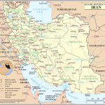
Map of Islamic Republic of Iran
Iran map online
| № | Locality | State | Coordinates | Stations |
|---|---|---|---|---|
| 1 | Tehran | - | - | 0 |
- Iran map with district borders and city names
- Political Map of Iran
Iran – the official name of the Islamic Republic of Iran
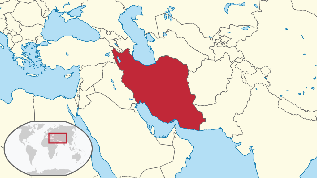
The state is located in the southwestern part of Asia. It is washed by the Oman and Persian Gulfs from the south side and the Caspian Sea from the north.
Has borders with states:
- Azerbaijan and Armenia – northwest;
- Turkmenistan – northeast;
- Pakistan, Afghanistan – east;
- Turkey, Iraq – west.
The physical map of Iran
The physical map of Iran presents a diverse landscape that spans over 1.6 million square kilometers. Iran is situated in a region known as the Middle East and is bounded by several countries such as Afghanistan, Pakistan, Iraq, Turkey, Armenia, and Azerbaijan. The map shows that the Iranian terrain is predominantly rugged and mountainous, with several high peaks dominating the skyline.
One of the most noticeable features on the physical map of Iran is the presence of the Zagros Mountain Range, which stretches from the northwestern part of the country to the south. The range is characterized by sharp ridges, deep canyons, and steep valleys. The highest peak in the Zagros Range is Mount Dena, which stands at 4,409 meters above sea level.
Another prominent feature on the physical map of Iran is the Alborz Mountain Range, which runs along the northern border of the country. The range is home to several peaks, including Mount Damavand, which is the highest mountain in Iran and the highest volcano in Asia, standing at 5,610 meters above sea level.
Apart from the mountain ranges, the physical map of Iran also reveals the presence of several large rivers that flow through the country. The most significant of these is the Karun River, which originates in the Zagros Mountains and flows southward, emptying into the Persian Gulf. Other notable rivers on the map include the Karkheh, the Dez, the Aras, and the Sefidrud.
Additionally, the physical map of Iran displays a vast plateau in the central part of the country, covering more than half of the land area. This plateau, known as the Iranian Plateau or the Persian Plateau, has an average elevation of about 1,200 meters and is home to several deserts, including the Dasht-e Lut and the Dasht-e Kavir.
In conclusion, the physical map of Iran is a fascinating display of the diverse and rugged landscape that characterizes the country. From towering mountain ranges to vast deserts and meandering rivers, the map reveals a rich and varied topography that reflects Iran’s long and complex history.
 The Guide Maps


