Map of Morocco
Kingdom of Morocco map online
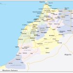
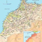
- Detailed map of Morocco with district borders and roads
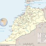
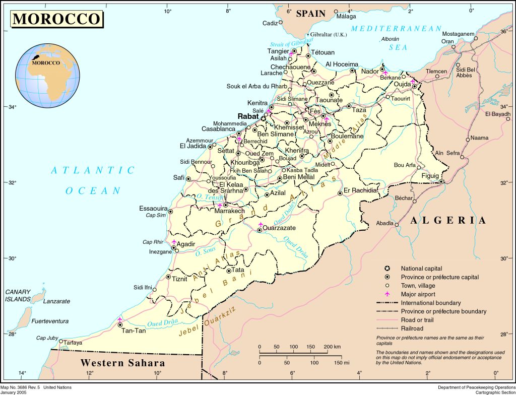
- Political map of Morocco with borders and neighboring states with names
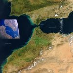
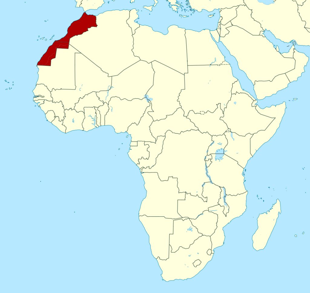
- Location of Morocco in relation to the Strait of Gibraltar
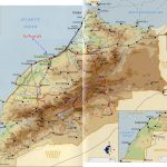
- Physical map of Morocco with relief and bodies of water
- Huge map of Morocco with city names and highways
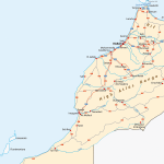
- Main roads in Morocco
Morocco on the map is located in the Maghreb region in North Africa. It faces the Mediterranean Sea to the north and the Atlantic Ocean to the west. It has land borders with Algeria in the east and the territory of Western Sahara in the south. The capital is Rabat and the largest city is Casablanca.
The word “Morocco” ultimately comes from the name of the city of Marrakech , which was its capital during the Almoravid dynasty and the Almohad Caliphate. The origin of the name Marrakesh is disputed, but most likely it comes from the Berber words amur akush, meaning “Land of God”
Briefly about Morocco
Morocco is a kingdom in North Africa that has been the gateway to the continent for Europeans since its founding in the 1960s. The country is a rich and varied mixture of culture and history.
The map shows Morocco and neighboring states with garrisons, the national capital of Rabat, major cities – the administrative centers of districts with names, main roads and airports.
Culture
Morocco has a diverse cultural heritage, including African, Arabic, Berber, Moorish and Western influences. Morocco is the perfect place in Africa to experience a diverse culture. Morocco has 34 million people and is home to a wide variety of cultural traditions.
Language
The official languages of Morocco are Arabic and Berber. However, the local Moroccan Arabic, a dialect of Maghreb Arabic, differs greatly from standard Arabic. Even Arabic speakers from outside the region will not understand the conversations of the locals. French is widely understood in Morocco due to its history as a French protectorate.
Some shopkeepers and hotel managers in the city center also speak English. In ascending order, English is generally preferred, followed by Spanish, then French, and then standard Arabic. The best is Moroccan Arabic or Berber, depending on the region.
The largest cities on the map of Morocco
- Casablanca is the largest city in the country, the industrial, economic and financial center of Morocco. On the map, it is located on the coast of the Atlantic Ocean, 72 km south of the capital Rabat;
- Agadir is a tourist and port city on the Atlantic coast, located in the south of Morocco;
- Ouarzazate – a city on the Saharan side of the High Atlas with a preserved sandstone casbah ;
- Tangier is a major port city on the Atlantic coast at the entrance to Gibraltar;
- Rabat is the capital of the country, the second largest in terms of population;
- Marrakesh – the third largest city in the country, the tourist center of Morocco;
 The Guide Maps
