Map of Saudi Arabia
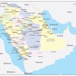
Kingdom of Saudi Arabia map online
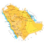
- Political map of Saudi Arabia
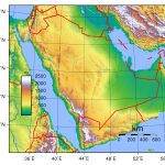
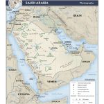
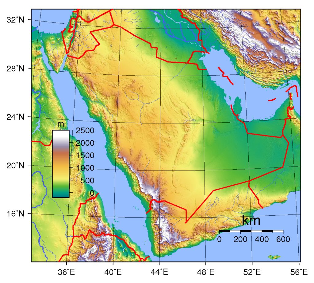
- Relief with heights of Saudi Arabia
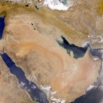
- Satellite image of Saudi Arabia
- Major roads in Saudi Arabia
- Railways and airports in Saudi Arabia
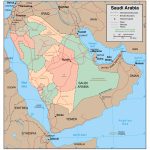
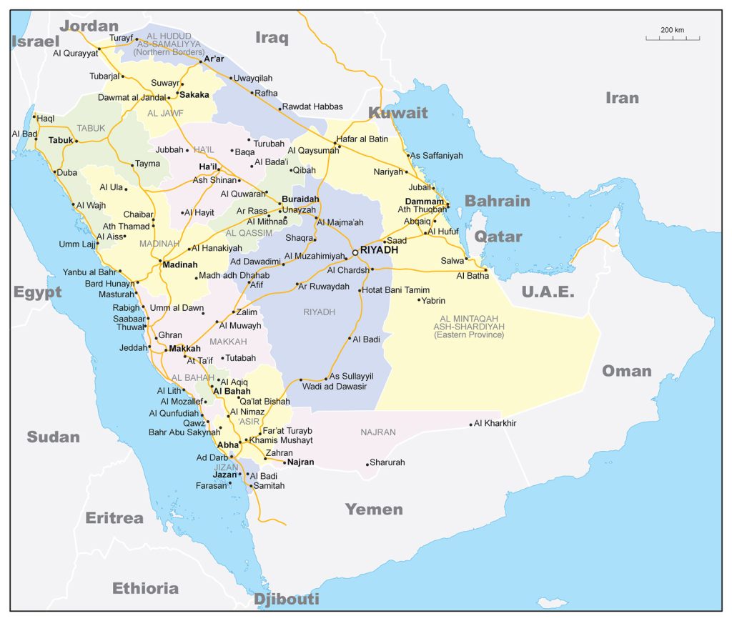
- Regions with borders of Saudi Arabia
General description of the Kingdom of Saudi Arabia
Saudi Arabia is located on the Arabian Peninsula, which belongs to the continent of Eurasia, and is located in the Asian part of the continent.
Saudi Arabia on the map occupies almost the entire Arabian Peninsula – about 80%. The exact area of the state is difficult to determine due to the fact that its borders with Oman and the United Arab Emirates are not clearly defined. In world statistics, a value of 2,150,000 km 2 is used . The country is the 12th largest in the world. It is larger than Mexico, but slightly smaller than Greenland.
The highest point is the peak of Jabal An-Nabi Shu’ayb (Savda) with a height of 3133 m.
Saudi Arabia is located in the tropical zone and most of the country has a desert climate. It is distinguished by dry weather with very high (up to + 45 ° C) daytime temperatures, which are replaced by a sharp nighttime cooling. The southwestern regions, due to the proximity of the Red Sea, have a milder climate.
The capital of the state is the city of Riyadh , located in the eastern part of the country.
A map of Saudi Arabia indicates the following cities as the largest:
- Riyadh – 6.5 million people;
- Jeddah – 4 million people;
- Mecca – 2 million people;
- Medina – 1.3 million people;
- Ed-Dammam – 1.25 million people.
Location of Saudi Arabia on the world map
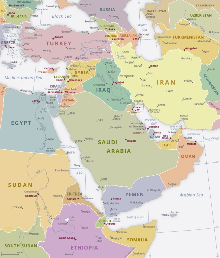 Saudi Arabia on the world map is located in the Asian part, in the southwest of the Eurasian continent. The country occupies almost 80% of the Arabian Peninsula.
In the north, the state borders on Jordan, Iraq and Kuwait. Part of the Iraqi border is occupied by the Syrian desert. The eastern part is washed by the Persian Gulf and borders on Qatar and the United Arab Emirates, which are also located on the Arabian Peninsula. In the south and southeast, Saudi Arabia borders on two other states of the peninsula – Yemen and Oman. The division between these countries runs through the Rub al-Khali desert , which is located almost entirely on the territory of Saudi Arabia. In the west, the country is washed by the Red Sea. In the northwest, the narrow Gulf of Aqaba separates it from Egypt.
Relief
Most of the country is occupied by the Arabian Desert. The desert area does not affect only the east coast and small areas in the center and north of Saudi Arabia. The vast desert consists of several smaller desert parts and semi-deserts, steppes, mountain spurs and volcanic lava fields. El Amud volcano is located in the northern part , with a height of 1181 m. This is an inactive, “sleeping” volcano, there are about 200 of them throughout the country.
In the southeast begins the world’s largest continuous sandy desert Rub al-Khali . In the west, it reaches the Tihamah Plain, which stretches along part of the west coast for 1,100 km. Here, from the shores of the Red Sea, the central plateau Najd begins. The highest peak of the mountain range is the peak of Savda – 3133 m. To the east and north, the height of the plateau decreases, and it turns into deserts.
Water resources
There are no permanent rivers in Saudi Arabia. On its territory there are only wadis – original channels filled with water only during heavy rains. A few lakes also form after a rainstorm or are lost in oases in the midst of sand dunes.
The largest cities on the map of Saudi Arabia
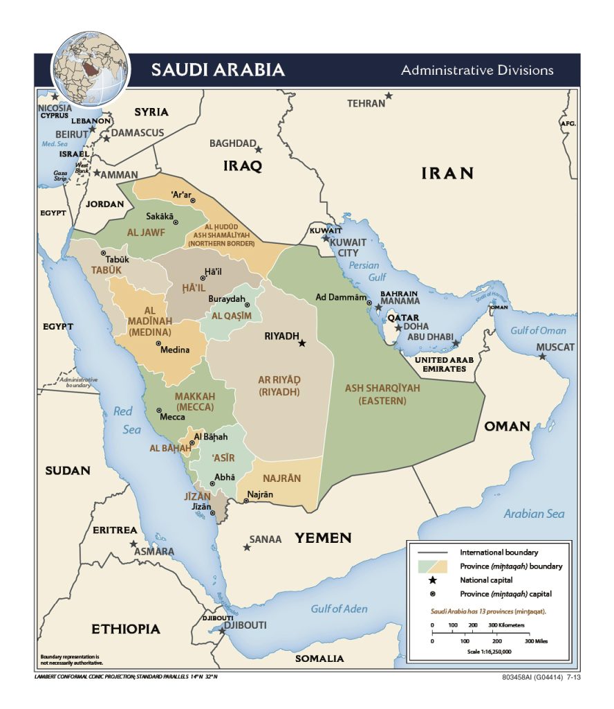 The state map will show the major cities.
Riyadh
The capital and largest city on the map is located in the central part of the state. It combines historical sights with modern infrastructure, ancient traditions and the progress of the 21st century. Every year the city hosts the Royal Camel Race which opens the Jenadriyah festival .
Jeddah
The city is located in the central part of the west coast. Jeddah is a port city, bounded on one side by the Red Sea, and on the east by the Hijaz mountains. This arrangement allows the construction of areas only to the north or south. The city is the economic center of the Kingdom of Saudi Arabia.
Mecca
Mecca is located in the western part of the country, 80 km from the Red Sea coast. The city is revered as a place of pilgrimage for followers of Islam from all over the world. Here is the Kaaba – a shrine, which is a large quadrangular room, in one of the corners of which is laid the Black Stone, the origin of which remains unknown.
Medina
Medina is located in the western part of Saudi Arabia. It is the second holy city of the followers of Islam. Here is the Mosque of the Prophet, built next to the house of Muhammad, the founder of the creed. Non-Muslims are allowed to visit any part of the city except this one.
Ed Dammam
Ed-Dammam is located in the east of the state. The large city is a port on the coast of the Persian Gulf. Most of its inhabitants are visitors from neighboring Arab states, as well as from India, the Philippines and Pakistan.
 The Guide Maps
