Little Rock map, Arkansas USA
Little Rock, Arkansas is an exciting and vibrant city that has something to offer everyone. Whether you are looking for a romantic getaway, thrilling attractions and activities, or simply seeking some rest and relaxation, the capital of Arkansas has it all. In this article, we will take a closer look at the geography of Little Rock, discover what lies within its borders, explore some of the landmarks and points of interest here, and suggest some things to do in the area. Little Rock is the capital city of Arkansas, located in the central part of the state. To find Little Rock on a map, look for the state of Arkansas and locate its capital city marker, which is usually indicated by a star or a circle with a dot in the center. If you are using a digital map, you can simply type "Little Rock, Arkansas" in the search bar to quickly find its location.
Interactive Map of Little Rock
Little Rock map collection
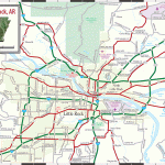
- Schematic map of Little Rock with highways and streets
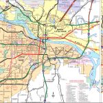
- Main streets with Little Rock names
- Little Rock area road map
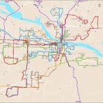
- Little Rock bus map
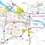
- metro Little rock map
- Little Rock Zoo
- Little Rock river market
- Little Rock downtown-tourist attractions
Where is Little Rock, Arkansas?
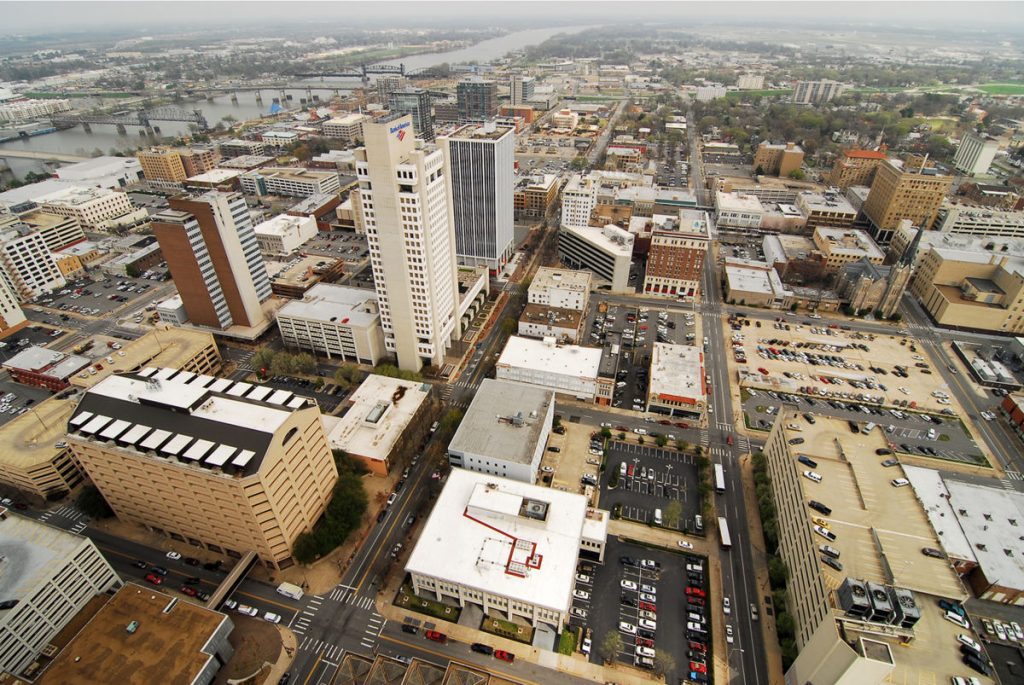 View this map of Little Rock with roads, streets and houses. Little Rock is located in Pulaski County in Central Arkansas along the banks of the Arkansas River. The city sits at an elevation of 266 feet above sea level close to where Interstate 30 crosses the river from North-South directions. This location makes it easy for travelers from neighboring states to reach Little Rock quickly by car or train. It also serves as an excellent starting point for exploring other parts of the region.
Political map of Little Rock, Arkansas?
On a political map of Little Rock you will find that it is part of Pulaski County which is bordered by Faulkner County to the north, Lonoke County to the east, Grant County to the south and Saline County to the west. The largest cities in Pulaski County are North Little Rock and Maumelle while smaller towns include Sherwood and Jacksonville. The total population of Pulaski county (which includes Little Rock) was estimated at 393,203 in 2020 making it one of the most populous counties in Arkansas. Unlock the Secrets of Little Rock with a Map of its Surroundings.
Physical map of Little Rock USA
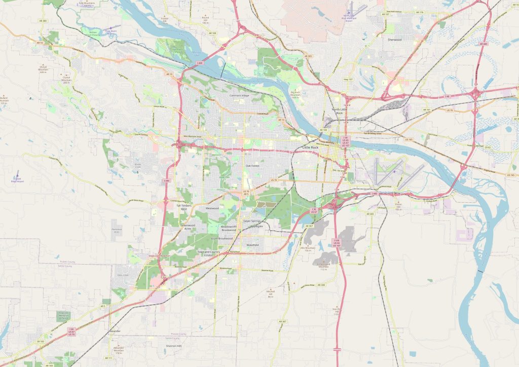 A physical map will show off some impressive features about this area such as its extensive network of lakes such as Lake Maumelle on which outdoor enthusiasts enjoy fishing or simply taking a leisurely boat ride; numerous mountainous ranges like Ouachita Mountains which offers breathtaking views from its highest peak; rivers like Saline River meandering through areas with thick forest cover; flood plains near Sherwood region bringing fertility to local farms; and valleys like Fourche Valley offering solace from urban life with its rolling hillsides full of cattle grazing lazily under tall pines trees. All these landscapes make up a picturesque terrain making it perfect for camping trips or day hikes.
What landmarks can I use to find Little Rock City on a physical map?
The most easily identifiable landmark when looking at a physical map is probably Pinnacle Mountain located just 14 miles south-west of downtown Little Rock. This distinctive mountain offers 810 acres worth scenic trails open year round for anyone looking for some adventure outdoors or just wanting an escape into nature’s embrace away from hustle and bustle life in he city center. Another remarkable feature visible on maps is Clinton Presidential Library situated not far away spanning over 19 acres along with museum building itself covering 100000 square feet area enabling visitors gain insight into president Bill Clinton’s legacy during his two terms in office from 1993-2001. So why wait? Grab a map of Little Rock and start exploring!
Things to do in Little Rock USA?
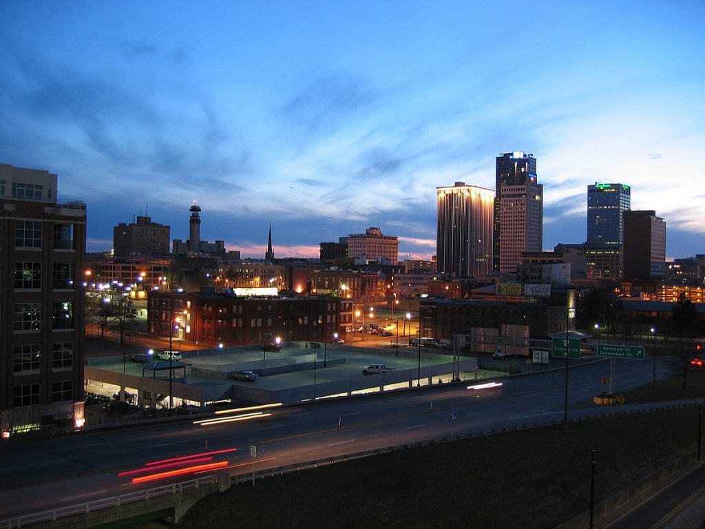 Little rock offers many interesting experiences both for those who wish for leisurely strolls through nature’s beauty as well as those seeking excitement amidst adrenaline pumping activity options available here. There’s Big Dam Bridge connecting downtown north shore with little rock side creating an excellent route either touring by bicycle or running 10 mile long trail alongside Arkansas river while enjoying stunning views that come with it! You can also catch live music concerts happening all throughout summer seasons held at Riverfront Park providing entertainment along with scrumptious food trucks serving delectable fares from different cuisines around world! For adventurous souls there’s Heifer International Village & Urban Farm tour offering chance experience firsthand how sustainable farming works out there! And if you’re looking something more relaxed then Robinson center holds weekly farmer markets every Saturday morning showcase best locally grown products region has offer!
Nearest cities to Little Rock
The nearest cities include Maumelle (12 miles), Conway (37 miles), Hot Springs (50 miles), Cabot (58 miles) and Bentonville (73 miles). These cities are all within reasonable driving distance making them great locations to visit during your stay in Little Rock too! Embark on a journey of exploration and discovery with a map of the surroundings of Little Rock.
Nearest airports and train stations
The nearest airport serving little rock is Clinton National Airport located only 7 miles northeast of downtown while closest railway station located further away 25 miles west-southwest of town serves passengers travelling between Texas Oklahoma California Florida New York Washington dc plus other parts united states! As far highways concerned there’s interstate major highway connecting little rock surrounding areas network clocking total length 181 miles!
 The Guide Maps
