London map, United Kingdom
London is the capital of the United Kingdom and one of the most populous cities in Europe. It is located in south-east England on the River Thames at its widest point. London has been a major settlement for two millennia and is considered to be one of the world's most important cities.
Interactive Map of London
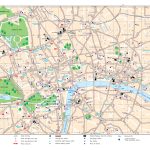
London map collection
- London city center
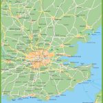
- London surroundings map
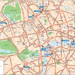
- London street
- London pass
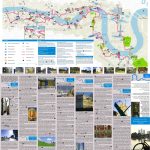
- Thames Cultural Cycling Map
- London sightseeing map
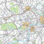
- Central London tourist attractions map
- Outer London tourist attractions
Maps of the London Underground
- London rail and tube map
- Underground London
- London tube night map
- London tube toilets
London Bus Maps
- Central London bus
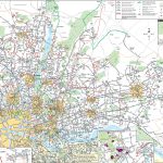
- North East London bus map
- North West London bus
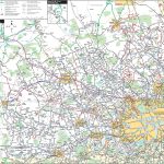
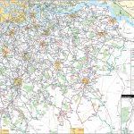
- South East London bus
- South West London bus
Political map of London, United Kingdom
 On a political map of London, UK, you will be able to find the boundaries of Greater London as it stands today. This includes 32 boroughs plus the City of London. These are all marked out clearly on the map and include names such as Camden, Southwark, Tower Hamlets and Westminster. Other features that can be seen on a political map include motorways such as M25, railways like Thameslink and Heathrow Express as well as airports like Heathrow Airport and City Airport.
Physical map of London
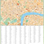
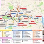
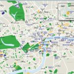
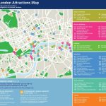
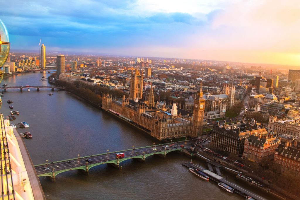
The physical maps of London show not only roads, rivers and other natural features but also landmarks such as Buckingham Palace, The Houses Of Parliament, The Tower Of London and St Paul’s Cathedral. Parks such as Hyde Park and Kensington Gardens are also visible on these maps. You will be able to spot some major attractions thanks to their icons such as Wembley Stadium or The London Eye Ferris Wheel. Furthermore, some physical maps highlight green spaces like Hampstead Heath or Richmond Park which are great places to escape from city life for a few hours!
What landmarks can I use to find the city of London on a physical map?
In order to locate London easily on a physical map then you should look out for iconic landmarks that are recognisable from miles away ‒ Big Ben (Elizabeth Tower) and Tower Bridge may assist with this task nicely! If you look closely enough then you could even spot some nearby palace ruins too; Hampton Court Palace being one example.
Nearest cities to London
The closest cities near London are Reading (50 miles), Birmingham (90 miles), Bristol (110 miles) and Oxford (40 miles). Additionally there are other locations near by including Watford (15 miles), Windsor (18 miles)and Slough (17 miles). All these destinations can be reached by car fairly easily within an hour’s drive time depending on traffic conditions; however train travel may also prove convenient as most locations feature direct routes from Central/Kings Cross Station in one form or another!
Nearest airport, train station and highways
Heathrow Airport is located just 14 miles west of Central/King’s Cross station making it extremely easy to get there via tube or rail services alike. Gatwick Airport meanwhile lies approximately 36 miles south-west so would take longer to reach but still offers plenty of options for reaching it if necessary – both airports have regular bus/coach services which run frequently throughout day & night times daily! Meanwhile from a highway perspective; M4 runs east-west through Greater London while M25 circles around it – with plenty more smaller roads leading into & out off this massive capital city!
The main significant streets of London
London possesses an incredibly rich array history which has helped shape its deep cultural roots over many centuries – something which can still be seen today when exploring its streets! Highlighting a few noteworthy spots: Fleet Street remains steeped in heritage thanks its time spent being home numerous British newspapers during Victorian Era until mid 20th century; Piccadilly Circus meanwhile provides visitors with bright lights & lively atmosphere 24 hours 7 days week; Oxford Street offers world-famous shopping opportunities whilst Trafalgar Square boasts unique blend classical architecture amidst hustle bustle tourists & locals alike!
Surroundings and metro in London
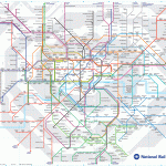
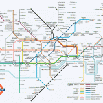
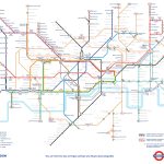
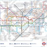
Though possessing vast wealth modern amenities – ranging from luxury restaurants chic nightclubs – Greater london also offers more rural areas perfect for those seeking peace tranquillity away hustle bustle inner city life; Richmond Park instance contains large expanse greenery alongside deer roaming free while Hampstead Heath consists rolling hills stunning views across rooftops below – ideal place relax get away crowds yet remain within reach everything else this amazing capital has offer! As far public transport concerned – Underground Metro system serves all parts City exceptionally well – boasting 270 stations 175+ mils tracks running multiple lines across entire network – connecting almost every corner this massive urban area together quickly efficiently manner possible!
 The Guide Maps
