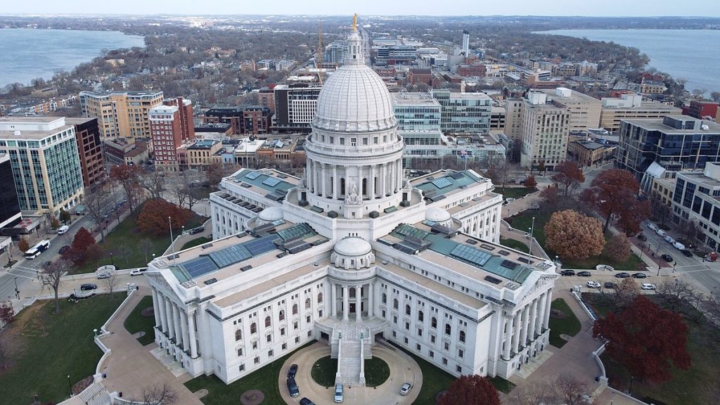
Madison map, Wisconsin USA
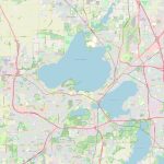
Madison is a city located in the south-central region of Wisconsin, USA. A political map of Madison showcases its city boundaries and important government buildings such as city hall and the state capitol. The location of major streets and landmarks is also highlighted. A physical map displays the city's natural features like lakes, parks, and rivers, as well as its roadways, highways, and rail lines.
Interactive Map of Madison
Madison map collection
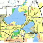
- Schematic map of Madison with highways and airports
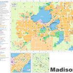
- Madison tourist map
- Geographic location of Madison on a map of Wisconsin
- Madison Map Wisconsin
- Madison Road Map
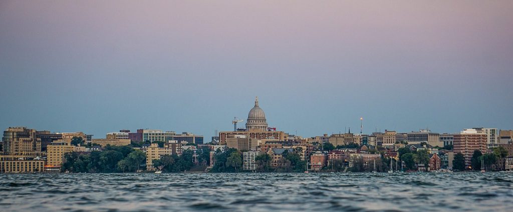 View this map of Madison with roads, streets and houses. Madison is the capital of Wisconsin, located on an isthmus between two beautiful lakes: Lake Monona and Lake Mendota. This city of 250,000 people is home to the University of Wisconsin-Madison and its many cultural attractions. The city lies in the center of Dane County in south central Wisconsin and is approximately 80 miles (129 km) west of Milwaukee and 150 miles (241 km) northwest of Chicago.
What can be seen on the Madison political map?
On the political map, Madison can be seen as a vibrant city with numerous neighborhoods, each with its own distinct character. The downtown area is home to state government, educational institutions, and businesses, while East Campus houses college students who are looking for a lively atmosphere near campus. Other distinctive parts include Capitol Square, which houses the capitol building; Midvale Heights, where many families live; and Regent Street, known for its nightlife. Look at this map of the streets of Madison, it will immediately become clear where the right street is located.
What can be seen on the physical map of Madison USA?
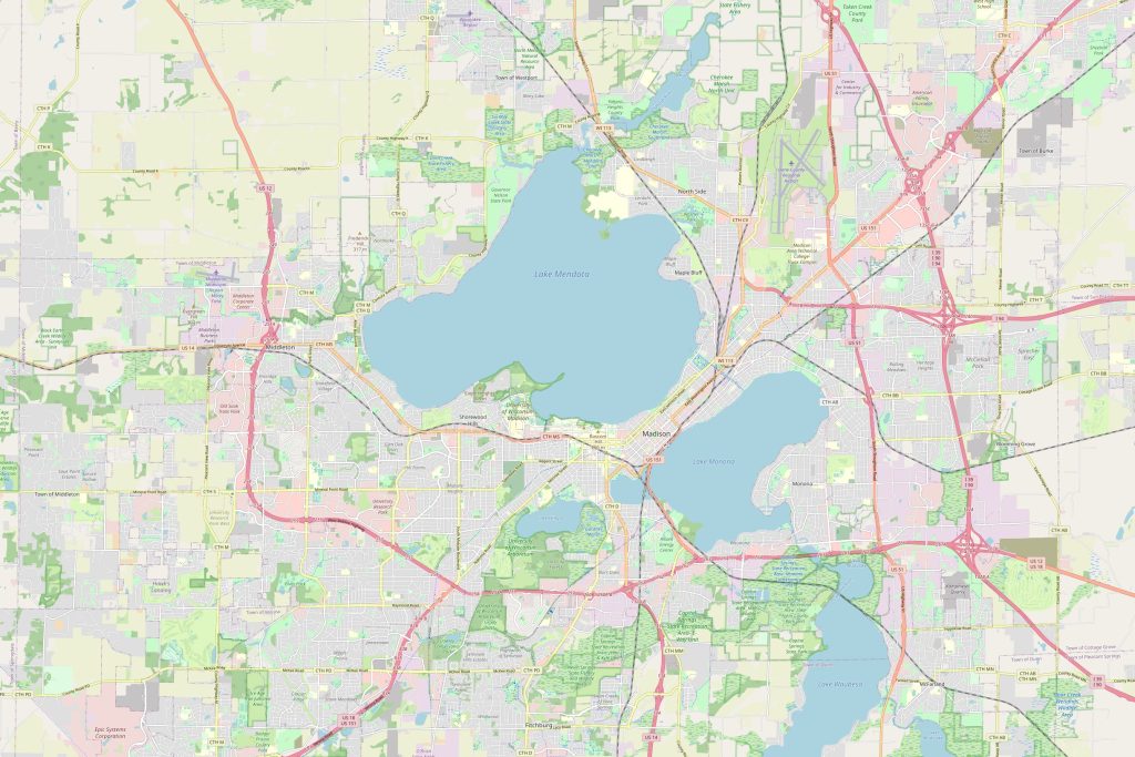 On a physical map Madison’s position on an isthmus becomes evident. This geography has influenced modern life in the area in several ways–most notably by creating opportunities for recreational boating activities on both lakes and providing beautiful landscapes that attract visitors from all over the world. Additionally, there are numerous parks along both shores that provide great places to picnic or relax under the shade of large trees.
Things to do in Madison USA
Madison offers something for everyone! Whether you’re interested in exploring local art galleries or cheering on one of its sports teams (the Badgers!), there’s always something new to discover here. For those seeking outdoor adventures, try fishing on either lake or biking along the bike paths that run throughout the city. There are also plenty of restaurants serving delicious cuisine from around the world – perfect for a group outing or night out with friends! A map of the surroundings of Madison will give you the best way to understand the surroundings of the city.
Nearest cities to Madison USA
The nearest cities to Madison are Middleton (7 miles), Verona (9 miles), Sun Prairie (10 miles), Waunakee (11 miles), Windsor (12 miles). These cities offer various attractions like shopping centers, regional parks and golf courses that visitors may enjoy during their stay in this part of Wisconsin. The Madison map is a great tool to avoid getting lost in an unfamiliar city.
Distance to nearest airport/railway station/highways
The nearest airport to Madison would be Dane County Regional Airport located 25 minutes away by car via US-151 North/US-18 West highway; while mainline rail service can be accessed at Middleton train station 10 minutes away from downtown by car via US-12 West highway; highways like I-90/I-39 connect Madison to other parts of Wisconsin including Milwaukee and Chicago which are 2 – 3 hours away respectively by car. The map of Madison perfectly shows the shape of the city and its location.
In conclusion, there is no shortage of things to do and explore when visiting Madison! With so much variety it’s easy to see why this city has become such a popular destination for travelers worldwide! From outdoor activities like fishing or biking along scenic trails, to unique restaurants serving global cuisine – it has something for everyone to enjoy during their stay! Plus with easy access from nearby airports or railways stations – exploring all this wonderful city has to offer just got even easier!
 The Guide Maps
