Map of Malaysia
Malaysia map online
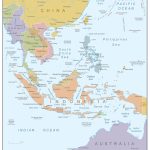
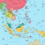
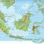
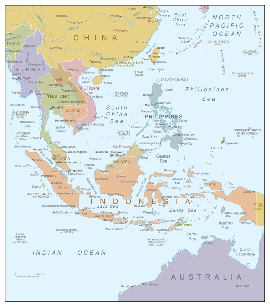
- Location of Malaysia in Southeast Asia
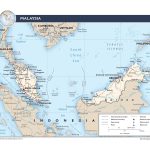
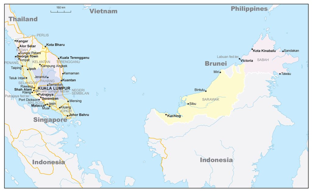
- Political map of Malaysia
- Location of Malaysia in Southeast Asia
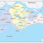
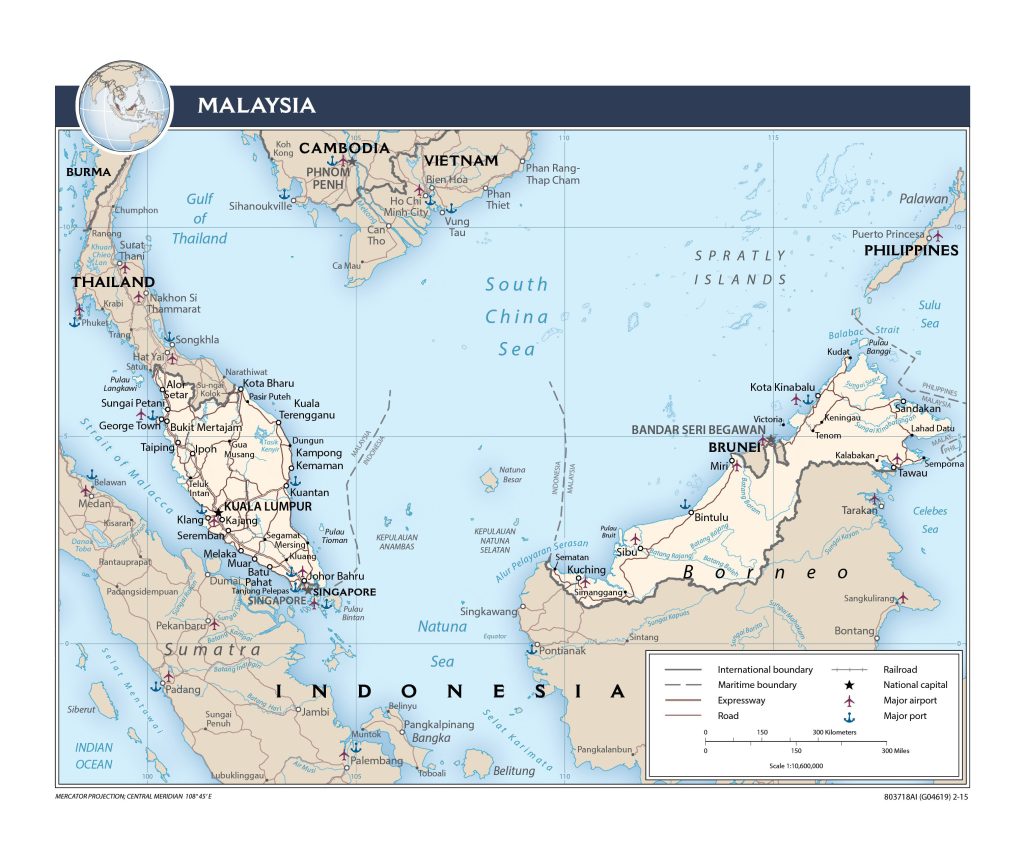
- Malaysia and Singapore border
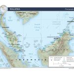
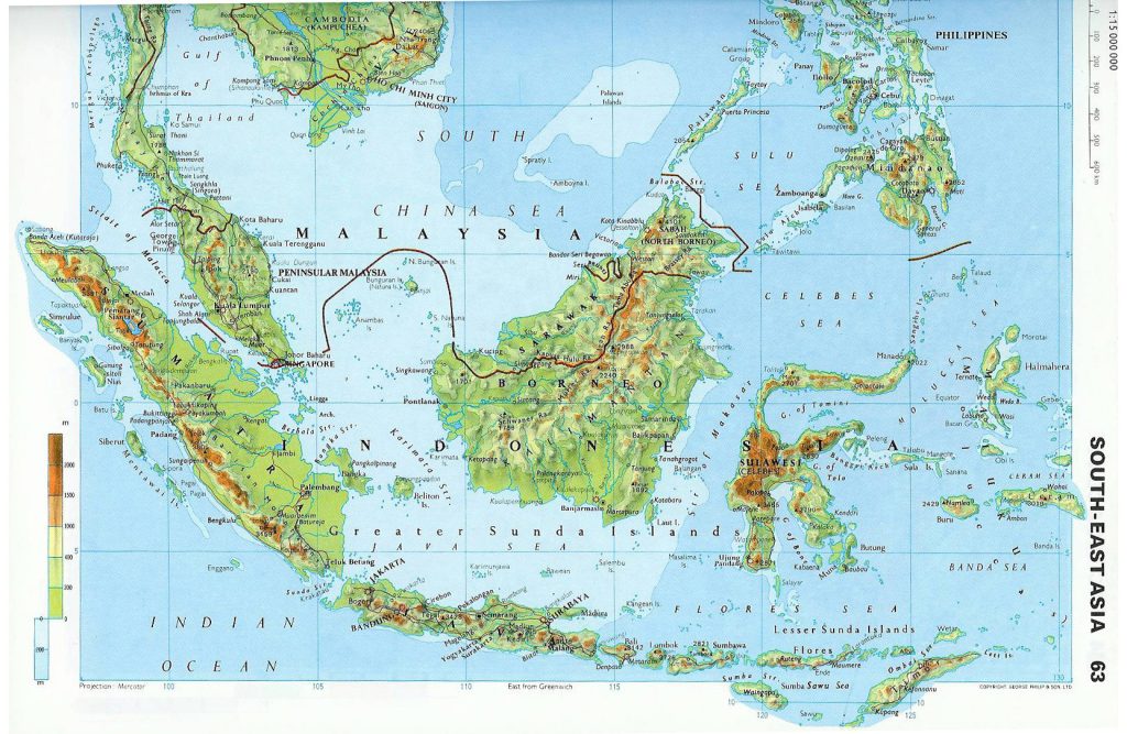
- Physical map of Malaysia
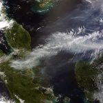
- Satellite image of Malaysia
- Malaysian cities
- Physiography of Malaysia
General description of the Malaysia
Malaysia is a state located on the political map of Southeast Asia. Among the countries of the world, Malaysia ranks 67th (329,847 km 2 ) in terms of area occupied by the territory and is located between Vietnam (66th place – 331,210 km 2 ) and Norway (68th place – 323,802 km 2 ).
Due to the location of Malaysia on numerous islands, there are no particularly large rivers in the country. The longest is the Rajang River (760 km). The highest point in the country – the peak of Kinabalu has a height of 4.1 km.
Malaysia has an equatorial climate. The average temperature here depends on the height above sea level. In coastal areas, it reaches +23 … +32 °C, while the climate of higher elevations is cooler: there the temperature at night can drop to +15 °C.
Kuala Lumpur – the capital of the state – on the map is located in the southeast of the Malay Peninsula.
The largest cities in Malaysia are:
- Kuala Lumpur (1.81 million people);
- Subang Jaya (1.32 million );
- Klang (1.06 million );
- Johor Bahru (895 thousand);
- Ampang Jaya (756 thousand);
- Ipoh (710 thousand).
Location of Malaysia on the world map
The state is usually divided into 2 parts:
– West Malaysia or the peninsular part.
11 states, along with the capital of Malaysia, Kuala Lumpur, are located on the southern side of the Malay Peninsula. This part makes up a little less than 40% of the entire territory of Malaysia. It borders on the sea with the island nation of Indonesia, and on land with Thailand.
In addition, the city of Johor Bahru, located in the south, is connected to Singapore by a bridge and a dam and is a border point. One of the world’s most significant sea routes, the Strait of Malacca, also flows nearby.
– East Malaysia.
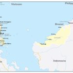
2 states and Labuan occupy 60% of the territory of the map of Malaysia and are located in the north of the island of Borneo, most of which is occupied by Indonesia. In the north, the country has a 266 km border with the small state of Brunei. By sea, Malaysia shares a border with the Philippines.
Malaysia is washed by the waters of 3 seas: Sulawesi, South China and Sulu. The total length of the coastline of both parts is 4675 km. The coasts are mainly characterized by smooth outlines.
The territory of Malaysia also owns many islands. Bangui is the largest in area of them (440 km 2 ).
Relief of Malaysia
The main part of West Malaysia is occupied by low mountains and hills. On the map, they look like a series of almost parallel mountain ranges that alternate with river valleys. Kerbau – the longest ridge – cuts the peninsula from north to south. Mount Tahan (2187 meters) is the highest point in Malacca.
On the island of Borneo on the border with Indonesia lies a massive mountain range. The rest of this part of Malaysia is occupied mainly by plateaus. In the state of Sabah is the highest point in Malaysia – Mount Kinabalu (4.1 km).
Lowlands, often turning into swampy plains, are located here along the coasts, thereby fringing the mountainous terrain of the territories of Malaysia. Their width is tens of kilometers.
Water resources: seas, rivers and lakes
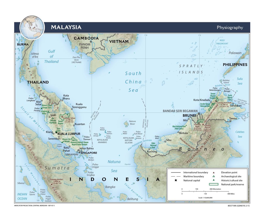 Although there are no particularly large rivers in Malaysia, a dense river network can be seen on its map. Due to the abundant rainfall, the rivers here are full of water throughout the year. Their level rises noticeably during the rainy season, which leads to frequent floods.
Rajang – the longest river (about 760 km) – flows in East Malaysia.
In Mallaka, the rivers are noticeably shorter. Relatively large rivers in this part of the country are Kelantan , Johor and Pahang . But the largest lake Bera is located precisely in the peninsular part, as well as the largest reservoir Kenir with an area of 260 km 2 .
The largest cities on the map of Malaysia
Kuala Lumpur
It is the capital of Malaysia, located in the southeast of Malacca and has the status of a federal territory. Kuala Lumpur is also the center of the urban conglomerate Klang Valley .
The area of the city of Kuala Lumpur is 243 km2 . It is considered the fastest growing city in Asia both in terms of population and growth in economic development.
The city is bounded on the east and north by the Titiwangsa mountain range and the Strait of Malacca on the west. From Malay, Kuala Lumpur is translated as “muddy confluence.” This is due to its location in a low-mountain valley at the confluence of the Gombak and Klang rivers, which are dirty gray due to their tin content.
Klang
Klang (also known as Kelang) is the former capital of the state of Selangor . Located in the Klang Valley , near the city of Kuala Lumpur (32 km), in the southeast of West Malaysia.
It is divided into 2 parts – Northern and Southern Klang , – separated from each other by the river of the same name with the city. South Klang is home to Port Klang (formerly Port Swettenham), which is the 12th busiest port in the world for both transshipment and container ports.
Subang Jaya
Subang Jaya is a city in the state of Selangor , as well as previous cities, located in the southeast of the Malay Peninsula.
The city lies between the state capital of Selangor Shah Alam and the Malaysian capital Kuala Lumpur.
Johor Bahru
Johor Bahru is the capital of the state of Johor . It is located in the south of West Malaysia, along the northern coast of the Strait of Johor and opposite the city of Singapore, with which it is connected by a dam and a bridge.
The city serves as one of two land crossings between 2 countries: Malaysia and Singapore. It is the world’s busiest border crossing and its direct connection to Singapore is a key factor in the city’s economic development.
 The Guide Maps
