Minnesota map, USA
General map of Minnesota live
-

- Minnesota state border map and its neighbors

-

- Minnesota highway map

-

- Large Detailed Map of Minnesota With Cities and Towns

Minnesota is a state in the Midwestern United States. It is named after the river that flows through its territory. The state consists of 87 districts.
Short history of Minnesota
In 1679, the French traveler Daniel Du Loot declared the lands of the future state of Minnesota part of his country. This year is considered the official date of the European opening of the state. The Scandinavians do not agree with her, who believe that the Vikings did this back in the 14th century. The runic inscription on the Kensington Stone appears as evidence. Its authenticity, however, is not recognized by most researchers.
In 1763 the territory of Minnesota became part of Great Britain. This happened after the Seven Years’ War, which also spread to the American colonies of European states. The American Revolutionary War brought new adjustments: East Minnesota was annexed to them. And the west of the future state was acquired as part of the Louisiana Purchase in 1803. Minnesota received the official status of the American state in 1858. At the turn of the 19th – 20th centuries. in Minnesota , there was an economic boom associated with the development of the steel industry and the shipping industry.
Location of the state of Minnesota on the US map
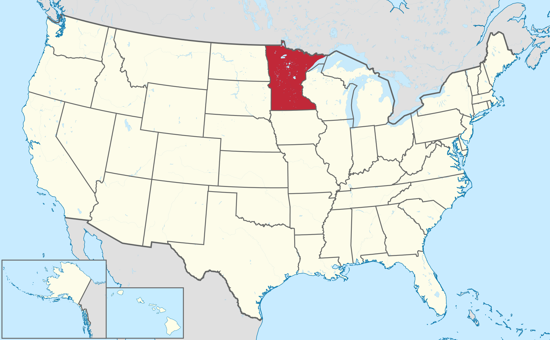
Location map of Minnesota in the US.
The area of Minnesota is over 225 thousand km 2 : according to this indicator, the state is the 12th in the country. On a map of Minnesota, its northern neighbors are the Canadian provinces of Manitoba and Ontario. The rest of the borders are intra -American . To the east, south, and west, Minnesota borders, respectively, Wisconsin, Iowa, and the Dakotas —South and North.
A small section of Minnesota , called the Northwest Corner, is located 43 km north of the 49th parallel, along which the main part of the US-Canadian border runs. This circumstance gives reason to consider Minnesota the most northern continental state after Alaska.
Relief and water resources of Minnesota
Central and southern relief of the state- flat. The West is the realm of the prairies. A third of the state is covered with deciduous forests. The top of Eagle Mountain reaches 701 meters.
Minnesota is called the “State of 10,000 Lakes”; in reality, there are about 12,000 of them. They were formed in antiquity from a melted glacier. The largest are Woods , Upper, Lower Red, Rainy . The last body of water is located in the picturesque Voyagers National Park in northern Minnesota .
Climate
The continental climate has caused a huge variation in extreme temperatures noted throughout the state during meteorological observations. Both plus 46 degrees and minus 51 were recorded. Minnesota cityInternational Falls , with its frequent winters of -20-degree frosts, is considered the “refrigerator of the United States.”
Minnesota receives 48–89 cm of precipitation annually. Tornadoes are not uncommon in the southern part of the state during the summer. Droughts do not occur every decade.
Major cities of Minnesota on the map
Minneapolis
The county seat of Hennepin County , Minneapolis is the state’s largest city , adjacent to its capital, Saint Paul. They are called ” sister cities “. Minneapolis is located on the banks of the Mississippi River. Within its territory there are as many as 24 lakes, as well as streams, waterfalls and swamps. The maximum height of the relief is 264 meters.
Saint Paul
State capital Saint Paul is also the county seat of Ramsey County. The city is located on the left bank of the Mississippi, near its confluence with the Minnesota River, opposite Minneapolis. Within its boundaries there are eight lakes and as many as 160 parks. Height above sea level – 214 meters.
Rochester
This city is the county seat of Olmsted County. Rochester is located near a fork in the Zumbro River. Unlike the previous two cities , the Rochester area was not affected by ancient glaciers. It has no natural lakes. The relief is rugged river valleys surrounded by gentle hills.
Bloomington
The urban topography combines the Minnesota River Valley in the southern part, a sandy plain in the northeast, and low hills in the western part. Within the boundaries of Bloomington are several notable lakes – Long Meadow, Normandale, Nine Mile Creek, Penn, and about a hundred smaller ones.
Duluth
The city is named after the official discoverer of the state’s lands (see above). Duluth is a port on the shores of Lake Superior at an altitude of 185 meters. The coldest of the Great Lakes results in a cold, damp and windy ” air-conditioning city ” climate . The relief of the city is dominated by steep streets climbing hills.
| № | Locality | State | Coordinates | Stations |
|---|---|---|---|---|
| 1 | White Bear Lake | Minnesota | - | 0 |
| 2 | Sartell | Minnesota | - | 0 |
| 3 | Rochester | Minnesota | - | 0 |
| 4 | Red Wing | Minnesota | - | 0 |
| 5 | Prior Lake | Minnesota | - | 0 |
| 6 | Owatonna | Minnesota | - | 0 |
| 7 | Oakdale | Minnesota | - | 0 |
| 8 | North Branch | Minnesota | - | 0 |
| 9 | Nisswa | Minnesota | - | 0 |
| 10 | New Ulm | Minnesota | - | 0 |
| 11 | Moose Lake | Minnesota | - | 0 |
| 12 | Melrose | Minnesota | - | 0 |
| 13 | Madelia | Minnesota | - | 0 |
| 14 | Kelly Lake | Minnesota | - | 0 |
| 15 | Hutchinson | Minnesota | - | 0 |
| 16 | Hibbing | Minnesota | - | 0 |
| 17 | Grand Rapids | Minnesota | - | 0 |
| 18 | Forest Lake | Minnesota | - | 0 |
| 19 | Fergus Falls | Minnesota | - | 0 |
| 20 | Fairmont | Minnesota | - | 0 |
| 21 | Eagle Lake | Minnesota | - | 0 |
| 22 | Duluth | Minnesota | - | 0 |
| 23 | Crookston | Minnesota | - | 0 |
| 24 | Cottage Grove | Minnesota | - | 0 |
| 25 | Coon Rapids | Minnesota | - | 0 |
| 26 | Chaska | Minnesota | - | 0 |
| 27 | Brandondale Chaska Mobile Park | Minnesota | - | 0 |
| 28 | Big Lake | Minnesota | - | 0 |
| 29 | Barnum Mobile Home Park | Minnesota | - | 0 |
| 30 | Austin | Minnesota | - | 0 |
| 31 | Andover | Minnesota | - | 0 |
| 32 | Alexandria | Minnesota | - | 0 |
| 33 | Albert Lea | Minnesota | - | 0 |
| 34 | Acorn Lake Mobile Home Court | Minnesota | - | 0 |
| 35 | Saint Paul | Minnesota | - | 0 |
| 36 | Minneapolis | Minnesota | - | 0 |