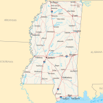
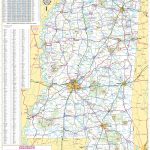
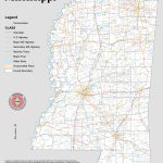
Mississippi map, USA
General map of Mississippi live
- Mississippi highway map
- Detailed Tourist Map of Mississippi
- Large detailed map of Mississippi with cities and towns
History of Mississippi
The state of Mississippi got its name from the river of the same name, one of the largest in the world and largely defining the life of the Mississippi. The first mentions on the map of these lands are found after the expedition of the Spaniard Hernando de Soto , whose expedition took place in 1540.
In 1699, French colonists established the first European settlement at Fort Maurepas . And in 1716, the French founded the city of Natchez , which was a cosmopolitan center in the middle of a vast undeveloped area. Mississippi appeared on the US map in 1817, becoming the 20th in a row.
For a long time, cotton was grown in Mississippi, exploiting slaves, thanks to which the state was economically developed. But events at the turn of the 19th and 20th centuries made this region one of the poorest in the country. Mississippi became the last state to ratify a law to abolish slavery.
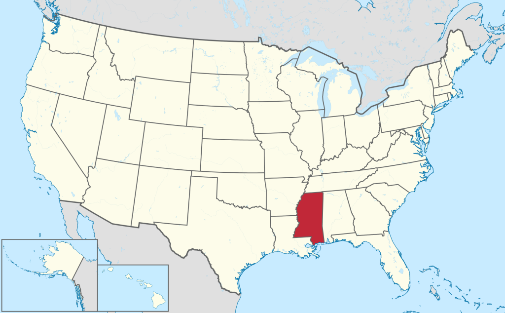
Location of the state of Mississippi on the US map
Mississippi is nicknamed the “Magnolia State” and is home to almost 3 million people. The capital and at the same time the largest city is Jackson .
Jackson is at the center of the Mississippi map. Its population is about 150 thousand people and is steadily declining. The city stands on the headwaters of the Pearl River.
Mississippi is located in the southeastern part of the country, covering an area of 125,443 km². The region borders four other states. Alabama is to the east, Tennessee is to the north, Arkansas is to the northwest, and Louisiana is to the southwest.
In the western part is the Mississippi River Valley, the most important zone with which the state is associated. Mississippi consists of lowlands, and the highest point is located in the northeastern part. This is Mount Woodall , the height above sea level is 246 meters.
Relief of Mississippi
The main part of the state is included in the Eastern Gulf Coastal Plain, which mostly consists of small hills. In the northeast, they have a greater height. In the western part of the Mississippi , loose, dusty soils can be found, which are called loess. The northeast is famous for its fertile black earth soils. And in the Mississippi Delta region, there are alluvial soils.
Water bodies
The Mississippi is the largest river on the entire continent, which is of great importance to the United States. The Gulf of Mexico, washing the southern part of the state, often causes tornadoes that cause heavy damage.
Other major rivers include the Great Black River, the Pascagoula , the Pearl River, the Tennessee-Tombigbee Waterway , and the Yazoo River. In the upper reaches of the latter, the 398.7 km² Sardis Lake reservoir was built. This is a federal government project designed to combat floods. It is popular with anglers and lovers of active sports.
Climate
The cities and towns of Mississippi are located in the subtropical zone. Summers here are long, hot and humid, while winters are short and not characterized by low temperatures. In July, an average of about 27 degrees Celsius, and in January – 6. Near the Mississippi Bay in winter, it is the warmest, compared to other parts of the states. In summer, the fluctuations are insignificant.
Heavy snowfalls are rare, but not uncommon. Snow falls in the northern and central part of the state, it is less common in the southern part of the map. Hurricanes rage in late summer and autumn, originating in the Gulf of Mexico. Sometimes it ends with hundreds of victims.
Major cities of Mississippi on the map
- Jackson . State capital and largest city. It has a well-developed infrastructure, and the average age of citizens is 31 years. In the economy, an important part is occupied by the manufacturing sector, this applies to electrical equipment and rolled metal products, semi-finished food products and textiles. The city is located on an extinct volcano.
- Gulfport . Major port on the Gulf of Mexico. Here they build ships and fish. There is a casino in Gulfport . Due to its geographic features, the city has received heavy damage from hurricanes, and in 2005 Hurricane Katrina destroyed a significant Gulfport .
- Southaven . It is considered the main city in Greater Memphis. Initially it was a village, but it grew very quickly. At the end of the 2000s of the 21st century, planning began for a shopping center, which began to be built only in 2015, completing the construction by the end of that year.
- Hattiesburg . It is located predominantly in Forrest County , being the administrative center. The population grew due to the development of the timber and railway industries. Hattiesburg is home to the main campus of the University of Southern Mississippi.
| № | Locality | State | Coordinates | Stations |
|---|---|---|---|---|
| 1 | Yazoo City | Mississippi | - | 0 |
| 2 | Tupelo | Mississippi | - | 0 |
| 3 | Philadelphia | Mississippi | - | 0 |
| 4 | Pass Christian | Mississippi | - | 0 |
| 5 | Pascagoula | Mississippi | - | 0 |
| 6 | Natchez | Mississippi | - | 0 |
| 7 | Mockingbird Hill Mobile Home Park | Mississippi | - | 0 |
| 8 | Meridian | Mississippi | - | 0 |
| 9 | Gulfport | Mississippi | - | 0 |
| 10 | Grenada | Mississippi | - | 0 |
| 11 | Yazoo City | Mississippi | - | 0 |
| 12 | Natchez | Mississippi | - | 0 |
| 13 | Cotton Gin Port (historical) | Mississippi | - | 0 |
| 14 | Clarksdale | Mississippi | - | 0 |
| 15 | Century Oaks Retirement Community Mobile Home Park | Mississippi | - | 0 |
| 16 | Brandon | Mississippi | - | 0 |
| 17 | Aberdeen | Mississippi | - | 0 |
| 18 | Southaven | Mississippi | - | 0 |
| 19 | Jackson | Mississippi | - | 0 |
| 20 | Gulfport | Mississippi | - | 0 |
| 21 | Biloxi | Mississippi | - | 0 |
 The Guide Maps


