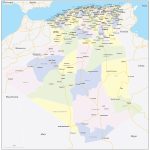
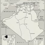
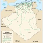
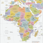
Map of Algeria
People's Democratic Republic of Algeria map online
Africa is a vast continent that hides many interesting places, especially countries about which people know little or nothing at all. Therefore, it is worth getting acquainted with the country of Algeria, and find out its location, relief, as well as water bodies, and of course, arouse the interest of tourists in discovering Algeria as a new country to visit.
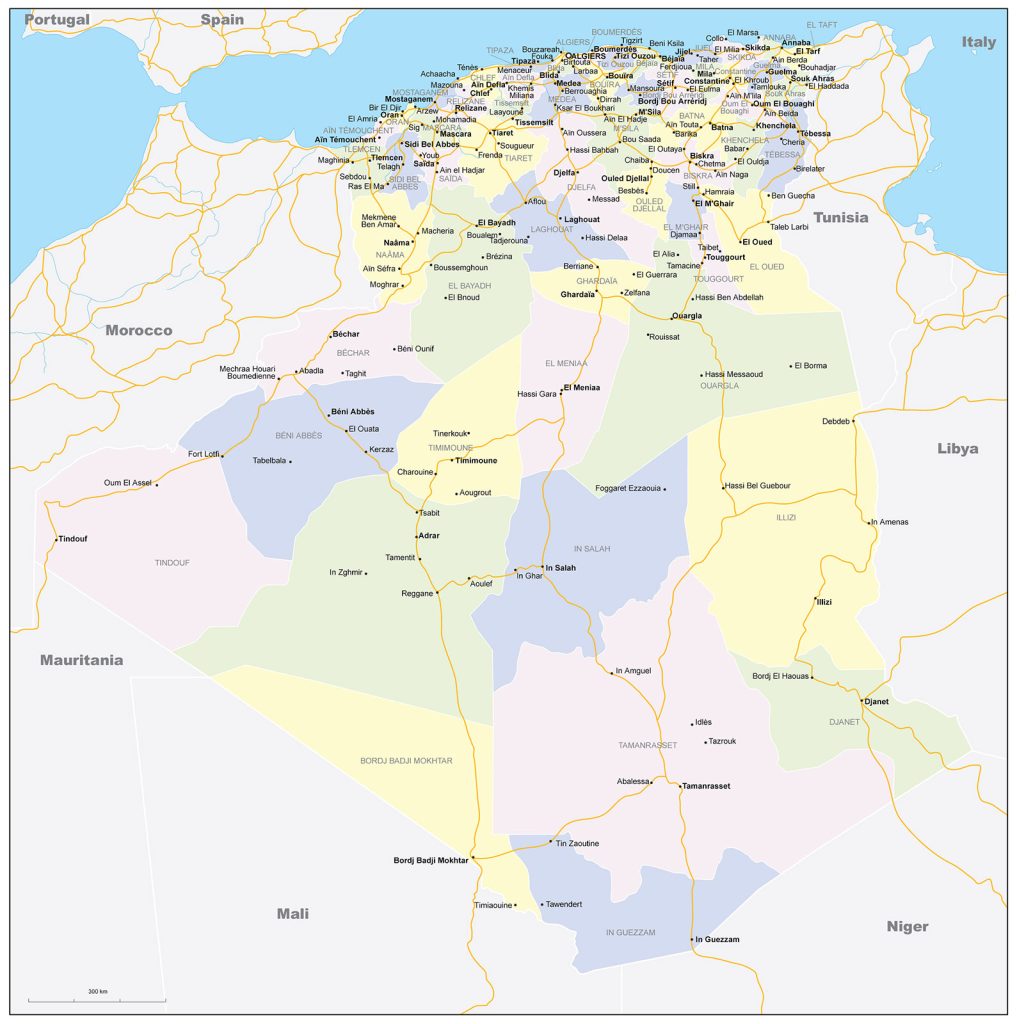
- Political map of Algiers
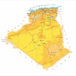
- Algeria cities on the map
- Regions of Algeria
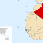
- Algeria on the world map
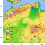
- Physical map of Algiers
General description of the People’s Democratic Republic of Algeria
Algeria is located on the continent of Africa, in its northern part, and is the largest state in terms of territory in all of Africa. In terms of area, Algeria is larger than the Congo, Egypt, Morocco and even Cuba, but smaller than Brazil and India. The reservoirs of Algeria are represented by temporary streams – Chelif, El -Hamman , Isser , as well as many salt lakes.
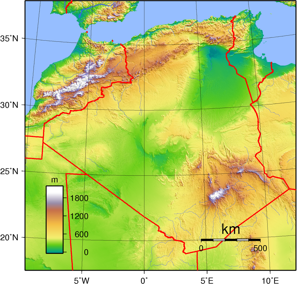
It is on the world map in Algeria that the highest point of the state is located, on the Hoggar mountain range – Mount Tahat, 291 m high, it is of volcanic origin, given that the array is located among the desert Sahara.
Algeria has a subtropical Mediterranean climate, as well as a desert climate. Quite often, droughts and strong winds appear, while the temperature drops to + 12C, and in summer the temperature reaches + 40C. Also, snow sometimes falls in mountain ranges, and winter lasts for 10-20 days.
Capital and largest cities
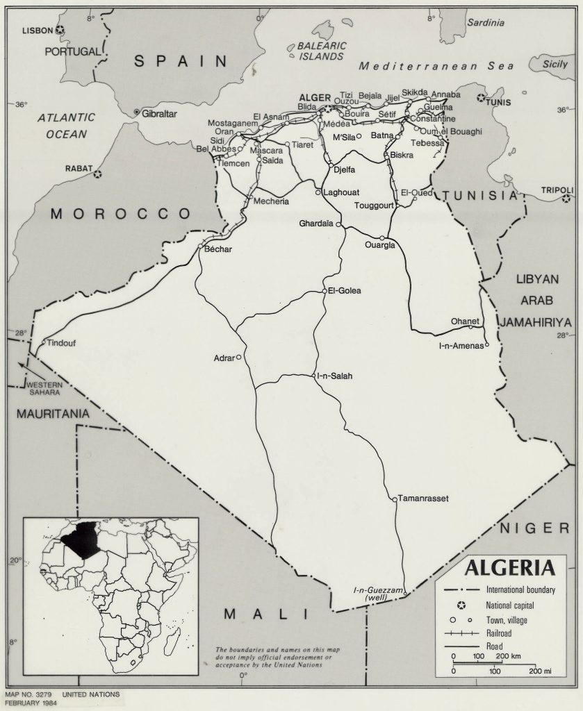
The capital of Algeria is the city of Algiers of the same name, and the country also has quite large cities with a large population on the world map, it is worth highlighting:
Algeria – 3 million. 300 thousand population;
Oran – 650 thousand people;
Constant – 460 thousand inhabitants;
Djelfa – 370 thousand inhabitants;
Batna – 320 thousand people;
Setif – 320 thousand people.
Location of Algeria on the world map
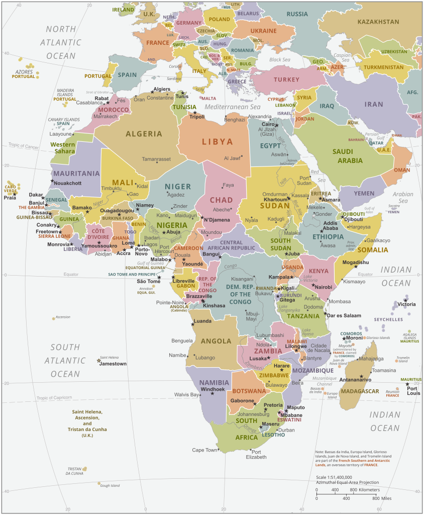
Algeria on the world map is represented by a huge territory, in the northern part of the continent. Most of Algeria is located in the Sahara Desert. The country borders with: Niger, Tunisia, Libya, Morocco and Mauritania. The northern part of the country is washed by the Mediterranean Sea, and also has many large oases (Touggourt,Tidikelt ), deep-sea salt lakes and wadi (temporary streams), which are used for irrigation.
Relief
In Algeria, the relief is represented by two regions – Sahara and Atlas , and 80% of the territory consists of rocky and sandy deserts. In the Saharan part of the desert there is a lowland and represented by the salt lake Chott-Melrhir (the lowest point), but in the Attakor mountain range the highest point of Algeria is located. Of course, such a relief does not contribute to the development of large, deciduous trees, but evergreen shrubs and stunted trees grow. In the desert part, annual plants predominate.
Water resources
The reservoirs of Algeria are represented by temporary streams that are filled during the rainy season – oueds. Also located is the longest river in Algeria, which flows into the Mediterranean Sea – Chelif. The Jedi River – is considered one of the large rivers of the Sahara, but in dry the season dries up, therefore it is absolutely unsuitable, and during the rains it helps to raise the water level in the lakes.
There are quite a lot of lakes in Algeria, mainly in the central part of the Sahara and in the High Plateau zone. Among the main lakes are:
- Chott el Hodna
- Chott Ech Chergui
- Chott Melrhir
Of course, they dry up in dry weather, forming a crust of salt, but among the reservoirs in Algeria there are underwater waters, which are presented in the form of oases.
The largest cities on the map of Algeria
- Algiers is the capital and largest city of the country, as well as an important economic, commercial center, and an important port. After all, it is located on the Mediterranean coast, which makes it possible to engage in oil refining and textile industries.
- Oran is a city with a population of 1,500 million, also located along the Mediterranean Sea, and one of the most important ports in the country. Oran is also a cultural and student city, thanks to a large Algerian university.
- Constantine is undoubtedly the best tourist city in the country, thanks to the deep canyon, intersecting bridges through the city, and also has a rich cultural and historical value. Tobacco and food industries are actively developed in Constantine.
- Djelfa – located in the northern part of the country, mostly calm, small town, where the country’s main airport is located, and more residents are involved in its service.
 The Guide Maps
