Map of Bangladesh
People's Republic of Bangladesh map online
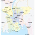
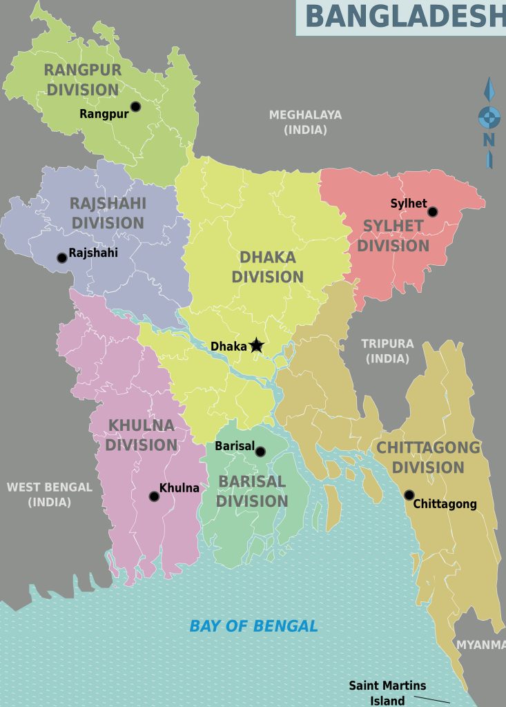
- Administrative divisions of Bangladesh on a map with city names
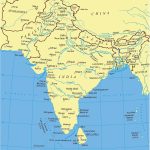
- Central Asia with countries
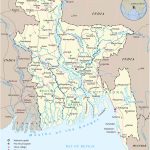
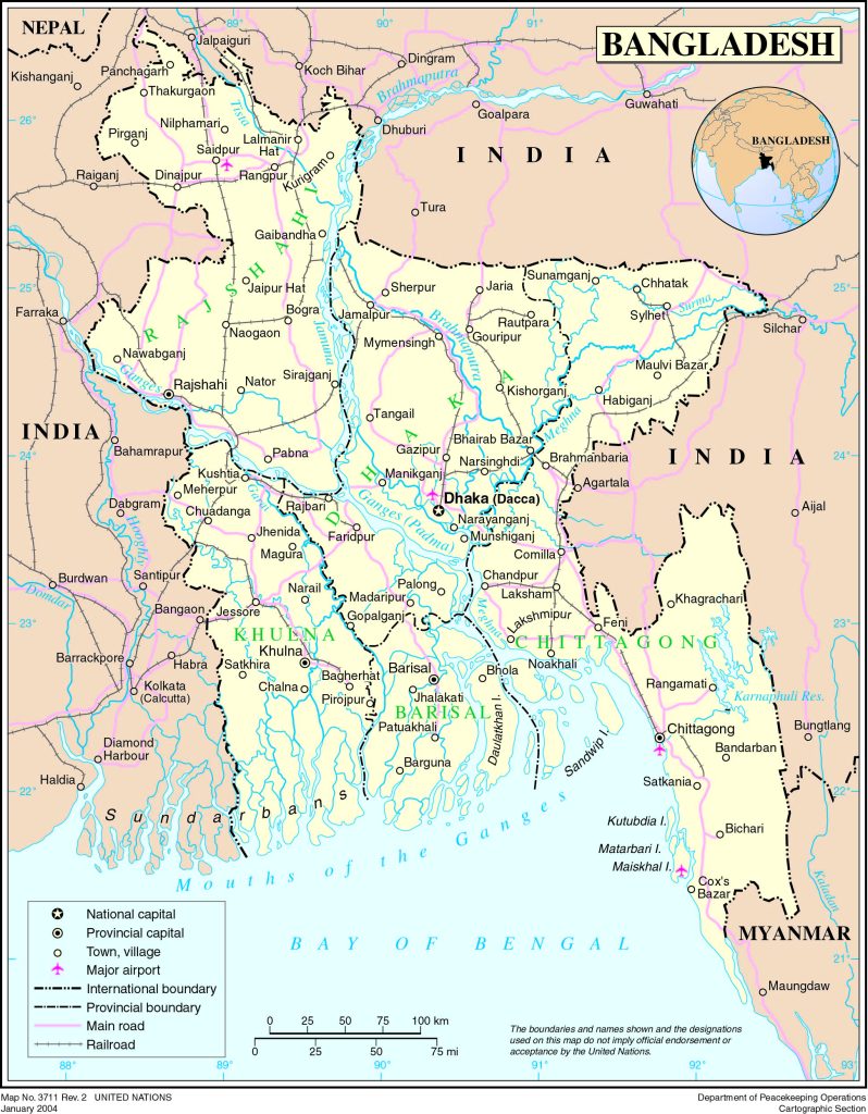
- Political map of Bangladesh with borders and names of neighboring states
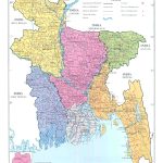
- Detailed administrative map of Bangladesh
- Map with borders upazila and district and international border
General description of the People’s Republic of Bangladesh
The South Asian state of Bangladesh on the map is located on the Indian subcontinent south of the Himalayas. Its area is 144 thousand square kilometers, but a small area is densely populated. The map of Bangladesh is divided into 7 divisions, each of which is named after the city that formed it. In the language of the locals, “Bangladesh” means “country of the Bengalis.” Bengal lights and tigers brought world fame to the state.
Location of Bangladesh on the world map
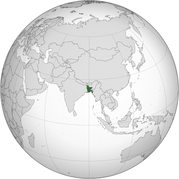 Bangladesh on the world map borders India in the north, west and east, and Myanmar in the southeast. The closest neighbors also include Bhutan and Nepal, from which the state is separated by a narrow Siliguri corridor (the so-called “Chicken neck”). The territory lies in the east of the Indo-Gangetic lowland, from the south it is washed by the Bay of Bengal.
The tropical climate is characterized by high humidity, dependence on cyclones and monsoons from July to October. The temperature in January rarely drops below +12 C, winters are mild and dry. Summer in Bangladesh is hot and rainy: the temperature is + 26 … 31 C. Most of the precipitation falls on the period from June to October (about 1200 mm). For the early sowing of rice and jute, the season of “little rains” in April-May is also important. Weak monsoon rains do not soften the soil well and lead to crop failure.
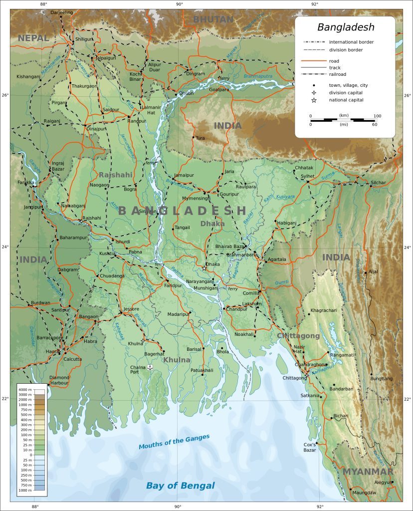
The map of Bangladesh is crossed by many fast rivers, there are 58 of them in total, if we count the tributaries and transboundary rivers. Located in a multi-branched delta, the area is characterized by moisture and swampiness in the lowlands.
Relief
Bangladesh is located on a plain – the banks of many-branched rivers. The only exception is the Chittagong Hill Tracts in southeastern Bangladesh. Peaks of Saka Haphong (1056, 1 m), Zow Tlang (1022 m) and Dumlong (1010 m) are in the Movdok mountain range. The highest point is Keokradong (1230 m).
In the river basins, the soils are clayey, from the side of the Bay of Bengal – light sandy, at the foot of the mountains – colluvial.
Water resources
Most of the territory is located in the delta plain of the rivers Ganges, Brahmaputra, Meghna , Jamuna . The floods last for several weeks, the rivers change their course and flood the central part of the country (Dhaka, Faridpur districts ). Frequent floods that destroy crops are the reason for the construction of dams and reservoirs.
Most of the lakes of Bangladesh are formed by the activity of tributaries of the more stable Meghna in the northeastern part of the country. Among the artificial reservoirs, one can note Foya and Kaptai lakes, Dharmasagar pond.
Flora and fauna
The seventh part of the territory is occupied by tropical, and in the west of the country – by mangrove forests. They are located mainly in mountainous areas.
The flora is represented by bamboo, palm trees, yew, orchids, lianas and evergreen shrubs. The coat of arms of the country is decorated with a lotus – the most revered flower. The “fruit” symbol of the state is the jackfruit – aboriginal breadfruit. However, in a large part of Bangladesh, primary forests have replaced agricultural land.
One of the main national treasures of the animal world is the Bengal tiger. Now the country has less than 500 individuals of this species. Another endangered animal, the Asian elephant, is found in the southeast. Rhinos, wild boars, monkeys, leopards, bats, mongooses, otters and rats also live on the territory of the country. Crocodiles live in the Ganges Delta.
Bangladesh can rightfully be considered a “bird” country: about 700 species of birds live here. Among them are magpie shama -thrush, Bengal vulture, pheasants, parrots, peacocks. Of the reptiles, there are king cobras, pythons, geckos, kraits. The world of amphibians is represented by toads, frogs and salamanders.
The largest cities on the map of Bangladesh
Dhaka
The capital of the state is a river port and a developed metropolis located in the delta of the Ganges and Brahmaputra rivers. The tropical climate determines the average annual temperature of 26 C. The coldest month is January, but the thermometer does not drop below 20 C. May is considered the hottest – the air temperature reaches 32 C. At the same time, the rainy season begins, which ends in September. During this time, more than 80% of the total precipitation falls.
Chittagong
The second largest city on the map is located in the southeast of the country. This port is also the administrative center of the district of the same name. April is considered the hottest month – the air temperature reaches 34 C. In January, the coldest month, the thermometer drops to 12 C. Up to 3000 mm of precipitation falls in Chittagong per year. economic map Chittagong is a concentration of banks, oil refineries and metallurgical plants, ship repair enterprises, tea factories.
Khulna
The city is located in southwestern Bangladesh, on the banks of the Rupsha and Bhairab rivers. In this area, less precipitation was recorded than in neighboring areas – no more than 1800 mm per year. The average temperature is 26 degrees. From Khulna , the closest to get to the Sundarbans – the largest mangrove forest.
Sylhet
It is located in the northeast of the capital of the state on the rivers Surma and Kushiyara. Osmani International Airport is located near the city . The season of heavy showers and thunderstorms lasts here for more than six months. This period is characterized by the appearance of haor – swampy depressions.
Rajshahi
The city is located on the map on the border with India, northwest of the central part. The humid tropical climate is characterized by an average temperature of 18 C in January, April and May are considered the hottest months (up to 45 C). Arable land is occupied by sugar cane.
Tonga
An industrial city in Gazipur District on the Turag River, north of the state capital. The highest point in Tonga is 3 meters above sea level. The rainiest month is July, the driest month is December. The average annual temperature is 25 C.
Main directions of tourism
Chittagong Region
The hilly area with the longest beach, Cox’s Bazar, stretches between the Chittagong mountain range and the Bay of Bengal. This is the oldest sea harbor, founded on the southern direction of the Great Silk Road. The city is considered the commercial capital of Bangladesh : 40% of industry and 80% of international trade are concentrated here. Autumn and winter are the most comfortable tourist seasons.
Part of Dhaka
The city is divided into seven districts, and Dhaka is also divided into Old and New. The first contains sights, the second – embassies. The capital of the state is best visited from late November to late February. Of the agricultural lands, the fields of rice and jute are the most common.
Northeastern part of Bangladesh
The areas of Mime singh and Sylhet are famous for their picturesque landscapes and huge tea plantations. They are surrounded by the Khadim Nagar National Park, which consists of evergreen forests. In addition, oil and gas production, pharmaceutical and light industries are developed in the regions. The dry season lasts from November to February, with heavy rains beginning in May.
Rajshahi Division
The administrative subdivision in the west of the country consists of 8 districts. Many vegetables and fruits are grown here, especially mango and lychee . There are 7 silk factories in Radshahi , which produce clothes, especially saris.
Division of Rangpur
The northernmost part of the country, represented by 8 districts. The largest cities are Rangpur , Dinajpur , Saidpur . Coal is mined here, jute is grown and processed, sugar is boiled, and fishing is done.
South Bangladesh
Barisal and Khulna districts are home to major river ports, the Gongamati Reserve Forest , and Kuakata Beach . The network of rivers creates favorable conditions for the cultivation of basmati rice and legumes, the extraction of oily fish ” hilsa “. In addition, the pharmaceutical, flour-grinding and textile industries are developing in the region.
Administrative map source www.sharada.ru
 The Guide Maps
