Portland map, Oregon USA
As a geographer researcher, I've always been fascinated by the interplay between geography and human settlements. Portland, the largest city in the state of Oregon, is no exception. In this article, I'll take you on a journey through the geography of Portland, from its physical features to its transportation networks and neighborhoods.
Interactive Map of Portland
Portland map collection
- Map of central Portland, Oregon
- Schematic map of Portland with streets, roads, and neighborhoods
- Portland transport map
- Portland rail
- Major roads and transportation infrastructure in Portland
- Hotels
- Portland city center transport
- Rail
- Guide to Portland
- Greater Portland
- Portland Washington Park
Where is Portland?
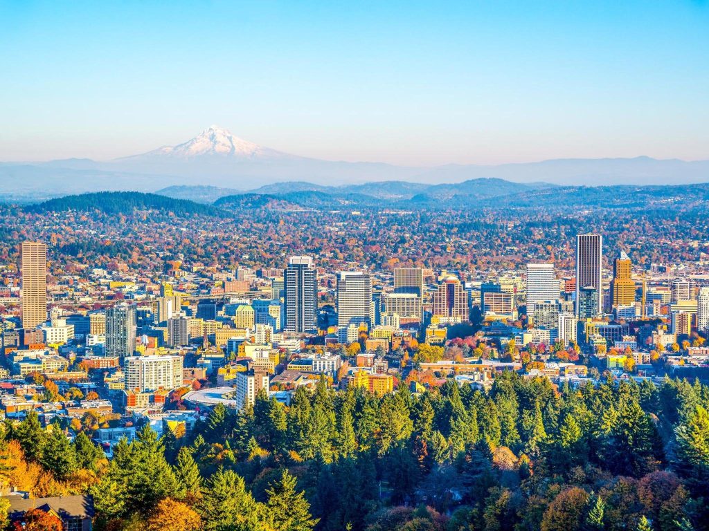 To truly appreciate the geography of Portland, we must first pinpoint its location on the map. Situated in the heart of the Pacific Northwest region of the United States, Portland is nestled between two magnificent mountain ranges – the Cascade Range to the east and the Coastal Range to the west.
But that’s not all. What makes Portland truly unique is its location at the confluence of two mighty rivers – the Columbia and the Willamette. This strategic position not only makes Portland a hub for water transport but also provides easy access to both the Pacific Ocean and the interior of the country.
As a geographer researcher, I am constantly amazed by the power of geography to shape human settlements, and Portland is no exception. Its location at the crossroads of mountains and rivers has played a crucial role in shaping the city’s history and character. From its early days as a hub for the fur trade to its current status as a center for technology and sustainability, Portland’s geography has played a vital role in its evolution.
Political map of Portland, USA
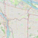
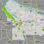
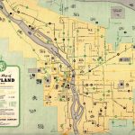
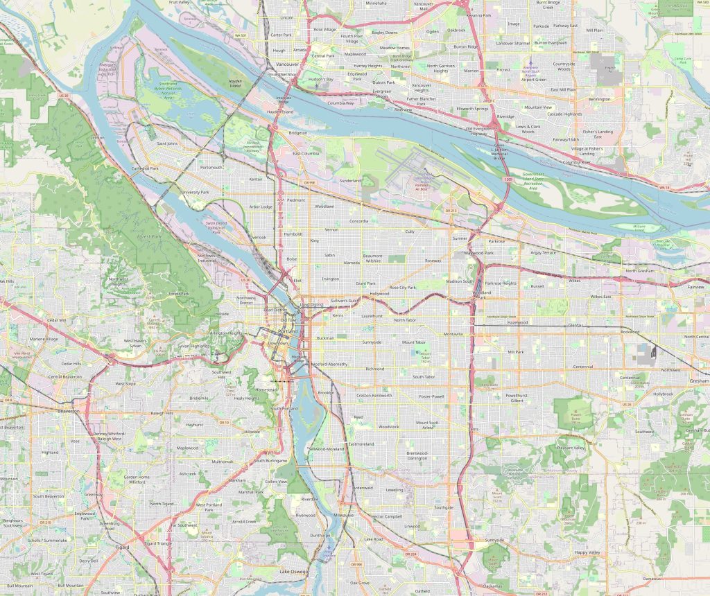
On a political map, you’ll see that Portland is divided into five quadrants: North, Northeast, Northwest, Southeast, and Southwest. The Willamette River runs through the city, dividing it into east and west. Downtown Portland is located in the southwest quadrant, while the trendy Pearl District and Northwest neighborhoods are in the northwest quadrant. The east side is known for its diverse neighborhoods and vibrant culture.
Physical map of Portland, USA
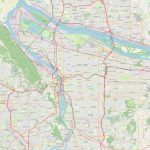
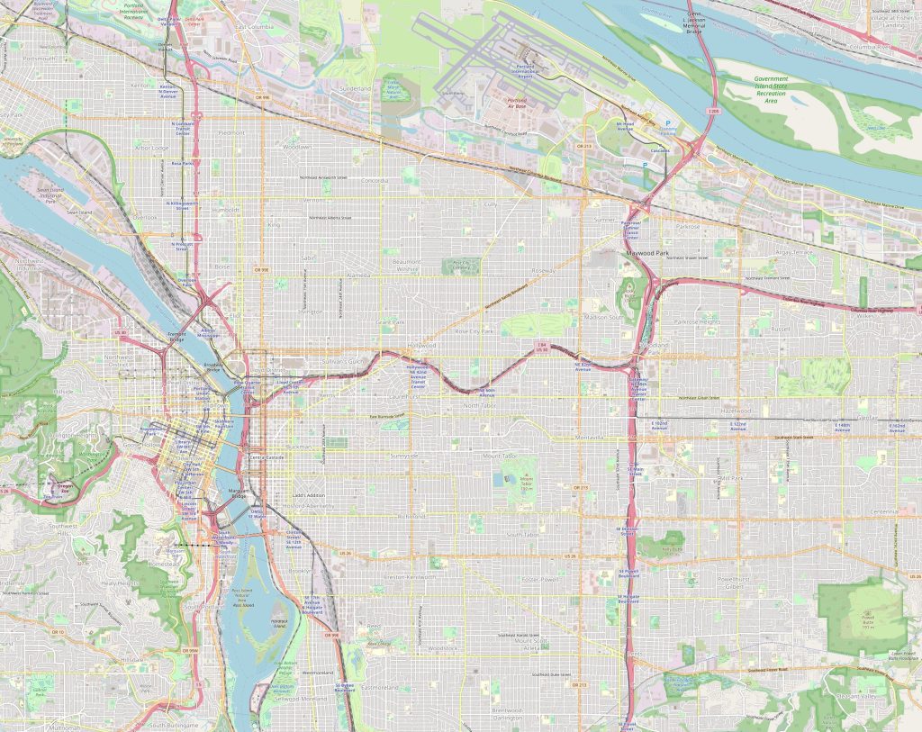 Portland’s physical map is equally impressive, with numerous rivers, forests, lakes, and mountains. The city is surrounded by the Cascade Range, which includes Mount Hood, the tallest mountain in Oregon. To the west, the Coast Range offers stunning vistas of the Pacific Ocean and dense forests. Forest Park, located in the northwest quadrant, is one of the largest urban forests in the country, covering over 5,100 acres. Additionally, the city has several lakes and reservoirs, including the popular Laurelhurst Park and the serene Smith and Bybee Lakes.
The nearest cities to Portland
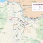
Portland is also surrounded by several other cities, including Beaverton, Hillsboro, Gresham, and Vancouver, Washington. Beaverton and Hillsboro are located to the west of Portland, with Beaverton about 8 miles away and Hillsboro about 17 miles away. Gresham is located to the east of Portland, about 12 miles away. Vancouver, Washington, is located to the north of Portland, just across the Columbia River, and is about 8 miles away.
The nearest airport, railway stations, and highways
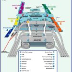
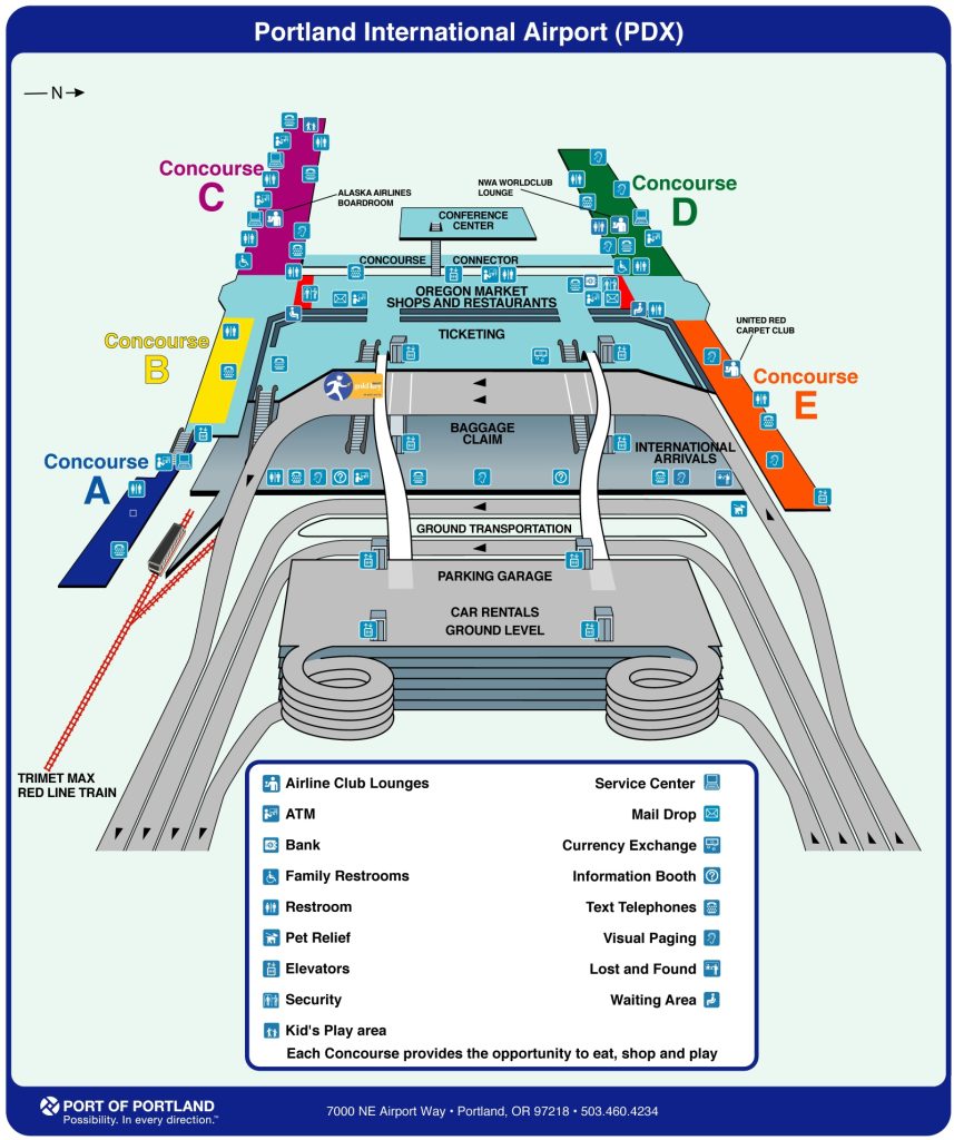
Portland is well-connected by air, rail, and road. Portland International Airport (PDX) is located about 12 miles northeast of downtown Portland and is easily accessible by public transportation or car. The city also has several railway stations, including Union Station, which is served by Amtrak’s Coast Starlight and Empire Builder trains. As for highways, Portland is served by several major interstate highways, including I-5, which runs north-south through the city, and I-84, which runs east-west.
Significant streets of the city
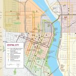
One of the most famous streets in Portland is Hawthorne Boulevard, located in the southeast quadrant. It’s known for its eclectic mix of shops, restaurants, and bars, as well as its vibrant street art scene. Another notable street is Alberta Street, located in the northeast quadrant, which has a similar mix of trendy shops and eateries. The Pearl District, located in the northwest quadrant, is known for its upscale shopping and dining options, particularly along NW 23rd Avenue.
Neighborhood of the city and the location
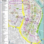
Portland’s neighborhoods are diverse and distinctive, each with its own unique character. The Pearl District, located in the northwest quadrant, is known for its upscale loft apartments, high-end shopping, and trendy bars and restaurants. The Northeast quadrant is home to many of Portland’s historic neighborhoods, including Irvington and Laurelhurst, known for their beautiful, century-old homes and tree-lined streets. The Southeast quadrant is known for its vibrant culture and hipster vibe, with neighborhoods like Belmont and Hawthorne offering a mix of vintage shops, food carts, and craft breweries. The Southwest quadrant is home to downtown Portland and is a bustling hub of commerce, with high-rise office buildings, upscale shopping, and dining options.With the Map of Portland, you will definitely not get lost.
Is there a metro in the city?
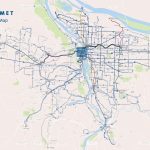
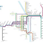
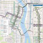
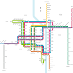
Portland also has a light rail system called MAX, which operates five lines throughout the city and the surrounding suburbs. The lines cover a distance of over 60 miles, connecting downtown Portland to various neighborhoods and suburbs. The stations are generally well-maintained and clean, and the trains run frequently and on time. MAX is a popular mode of transportation for commuters and tourists alike, with stops near major attractions like the Oregon Zoo and the Portland Art Museum.
 The Guide Maps
