Map of Colombia
Republic of Colombia map online
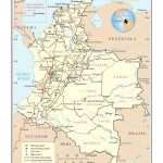
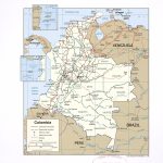
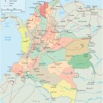
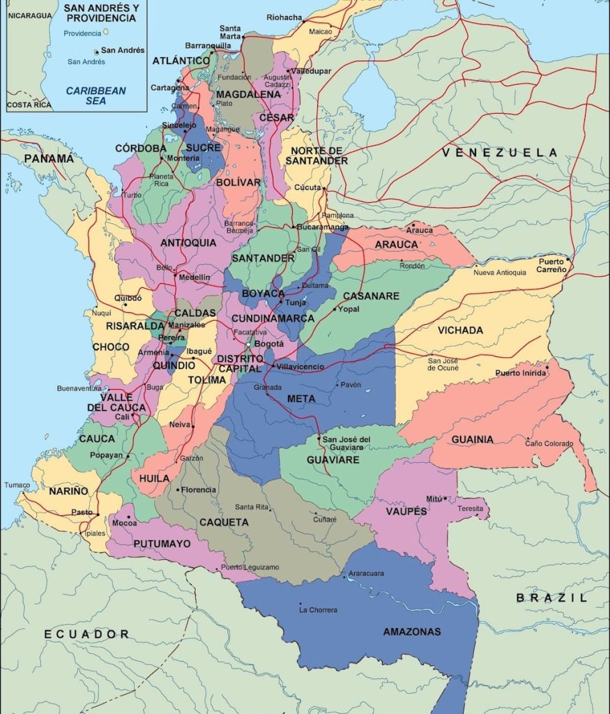
- Political map of Colombia
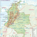
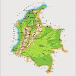
- Physical map of Colombia
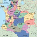
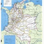
- Regions of Colombia with borders
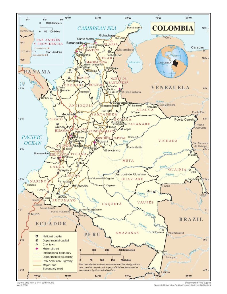
- Colombia’s major roads
General description of the Republic of Colombia
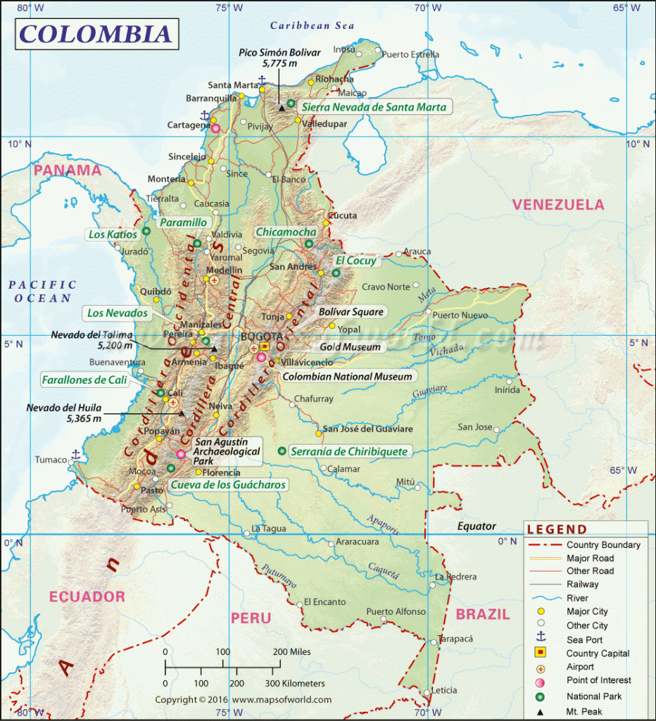
The Republic of Colombia is a country in South America. Colombia on the map is located in the northwestern part of the continent. The country has an area of 1142 thousand km 2 , ranking fourth in South America in this indicator. This is more than the territory of Japan by 3 times. Largest rivers in Colombia Magdalena is 1550 km long and Atrato is 644 km long. The highest mountains are located in the north of the country in the Sierra Nevada massif: the peak of Christopher Columbus (5776 m) and the peak of Simon Bolivar (5775 m). Colombia is located in the equatorial and subequatorial climate zone, which is significantly dependent on the mountainous terrain.
Bogota , the capital of Colombia, is located at an altitude of 2600 m in the Eastern Cordillera basin. The largest cities of the country thousand inhabitants:
- Bogotá 8000;
- Medellin 2500;
- Kali 2400;
- Barranquilla 1220;
- Cartagena 1000;
- Kukuta 656;
- Soledad 632.
Location of Colombia on the world map
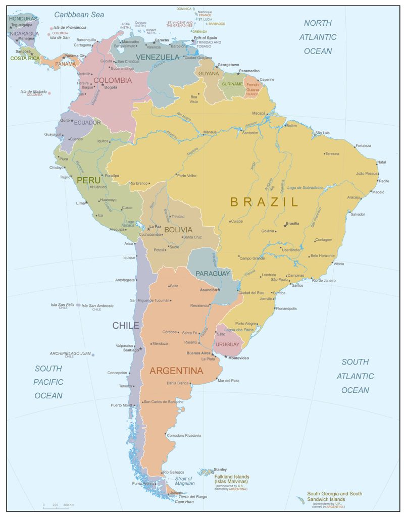
Colombia on the world map is washed by the waters of two oceans: the Atlantic and the Pacific. The Caribbean Sea off the coast of Colombia is part of the Atlantic Ocean. In it, the state owns two archipelagos of islands: Providencia and San Andres. The Malpelo, Gorgon and Gorgona Islands belong to Colombia in the Pacific Ocean.
The largest mountain range in the country is the Cordillera (Andes). Their vast valleys between mountain ranges are the most populated part of Colombia. The difference in relief height has a significant impact on climatic features.
A significant part of Colombia in the south and east of the country is occupied by plains formed near the Amazon and Orinoco rivers.
Colombia on land borders:
- with Panama in the west;
- Peru and Ecuador in the south;
- Venezuela and Brazil in the east.
Maritime borders near Colombia with Haiti, Dominican Republic, Costa Rica, Nicaragua, Honduras, Jamaica.
The length of the borders of Colombia on land is 6672 km, the coast is 3208 km. Of these, 1448 km falls on the Pacific Ocean, 1760 km on the Caribbean Sea.
Relief
Colombia is a country with a varied topography. One third of the territory is occupied by mountains. In the west is their main part – the Cordillera . Three mountain ranges Western, Central and Eastern Cordillera, separated by river valleys, start from the border with Ecuador. The highest peak is the extinct volcano Huila – 5750 m.
The north of Colombia is occupied by the Caribbean lowland. In the same part is the Sierra Nevada mountain range with the highest peaks of the country.
The southeast of the country is occupied by the humid jungle – selva, belonging to the Amazon basin. In the northeast, Colombia’s border runs along the Orinoco River. In the southwestern direction from it stretches a vast zone of steppes and savannahs – llanos . The Pacific Lowland stretches along the coast of the country in the west.
Water resources
In Colombia, artificial irrigation is used. The area of irrigated land is about 11 thousand km2 . The waters of the Magdalena and Cauca rivers are used most intensively .
The Amazon, Orinoco and Magdalena rivers are important transport arteries. Their role is especially significant in places with difficult terrain and difficult accessibility in the jungle. The Magdalena River is navigable for 935 km from its mouth to the town of Onda.
In Colombia, 26 large dams have been built on rivers, the reservoirs of which can accumulate 9.1 km 3 of water and 90 small dams with a water capacity of 3.4 km 3 . Hydroelectric power plants produce 81% of all electricity in the country.
In the Andes there are small lakes of glacial origin. Most of the lakes are located in the Caribbean lowlands and in the Atrato river basin. The most famous are: Guatavita, Tota, Iguaque.
The largest cities on the map of Colombia
 Bogota
The capital of Colombia on the map is located in the deepening of the Cordillera. One fifth of the country’s population lives in the city and its suburbs. Proximity to the equator determines almost the same temperature throughout the year. The city’s altitude of 2600 m above sea level makes its climate cool and comfortable for life. Bogota is the most important economic center of Colombia, which produces a quarter of the country’s GDP.
Medellin
Medellin is located in the Cordillera at an altitude of 1500 m. A few decades ago, it was known as a place of production and drug trafficking. The drug lord Pablo Escobar lived in the city . Now Medellin attracts tourists. And the city is developing intensively and has become the most important industrial center of the country. It is famous for its temperate climate, which gave it the name “City of Eternal Spring”.
Kali
On a map of Colombia, Cali is located in the western part of the country in the valley of the Cauca River . This is the only one of the major cities of the state located near the Pacific Ocean. It became famous as the sports center of Colombia and the ” Salsa Capital of the World “. The Petronio Music Festival is held annually in Cali. Alvarez , combined with a gastronomic holiday.
Barranquilla
At the mouth of Colombia’s largest river, the Magdalena, on the Caribbean coast, is the country’s most significant port, Barranquilla . A hundred years ago, it was the most important industrial center and the second largest city in the country. Now the metropolis has partially lost its significance. It is widely known as the site of the Barranquilla Carnival, included in the UNESCO Intangible Heritage List.
 The Guide Maps
