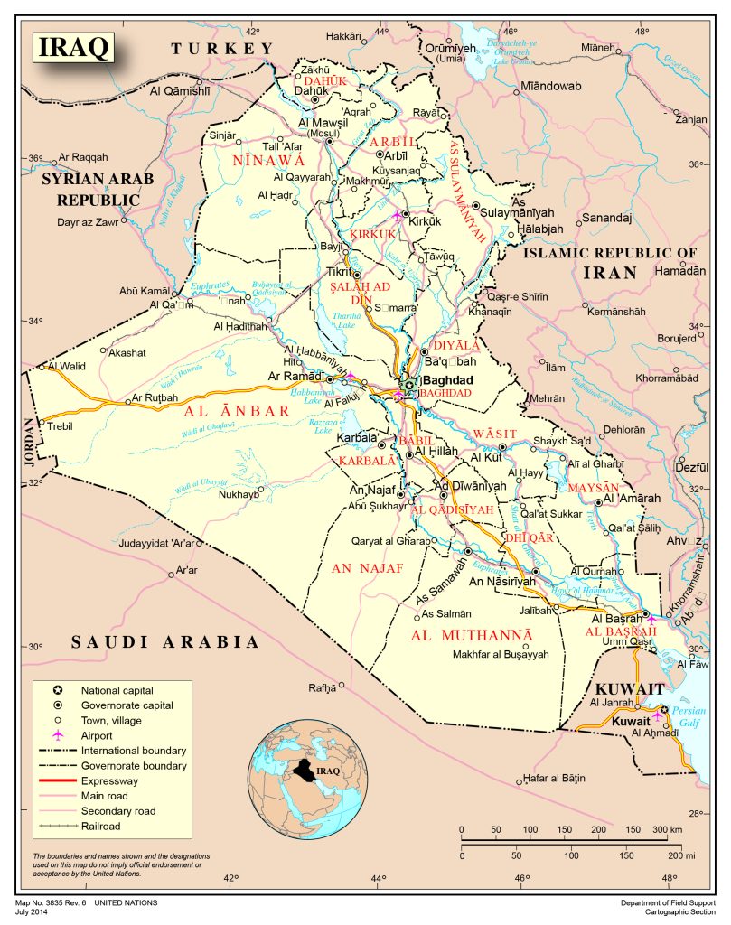
Map of Iraq
Republic of Iraq map online
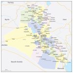
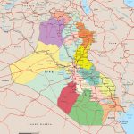
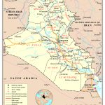
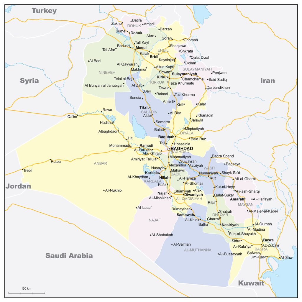
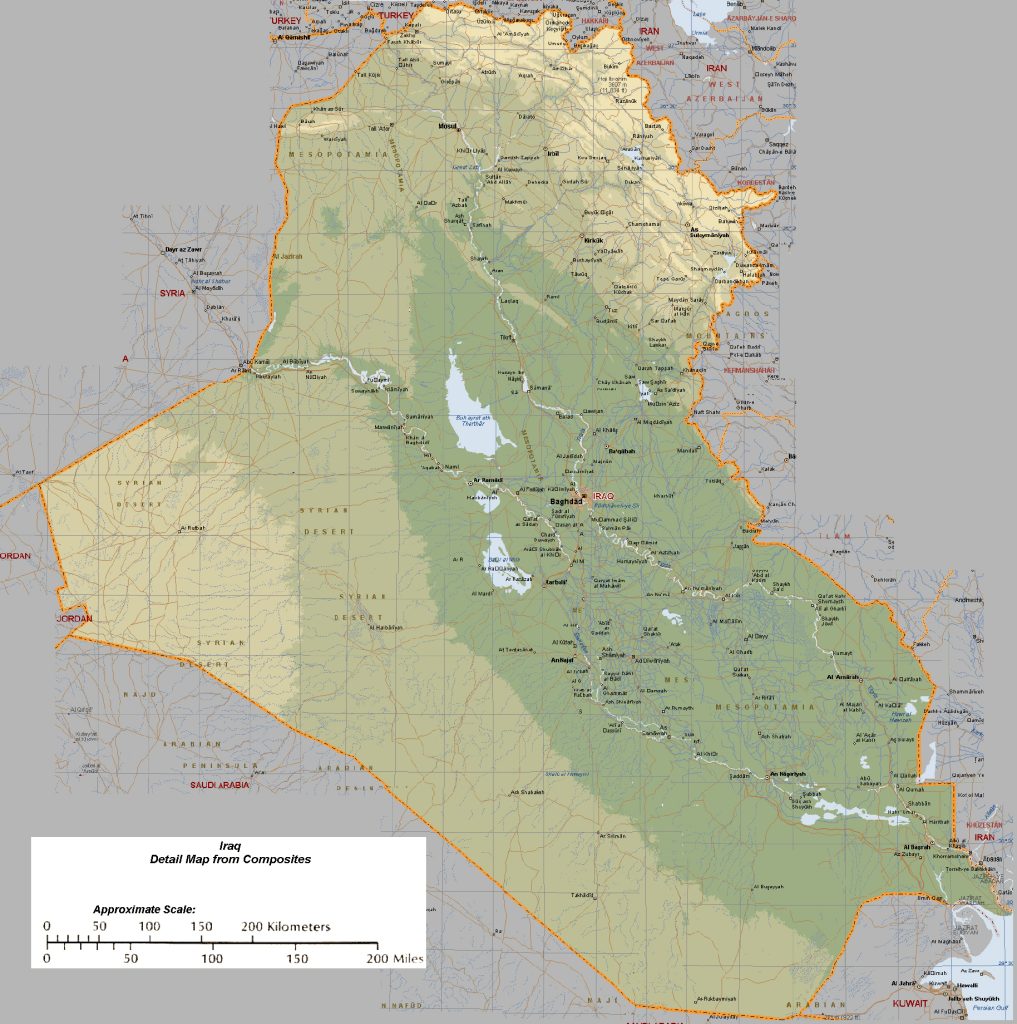
- Political map of Iraq
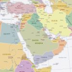
- Location of Iraq in the Middle East
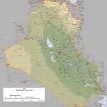
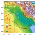
- Relief of Iraq with heights
- Major roads in Iraq
- Physical map of Iraq
- Iraqi borders and neighboring states
General description of the Republic of Iraq
Iraq on the world map is a country in the Middle East, in the Asian part of Eurasia.
The area of the country is 437,072 km². This is smaller than Morocco, but larger than Paraguay.
The largest rivers of the state are the Tigris and the Euphrates.
The highest points of the country are the peaks of Sheekha-Dar with a height of 3611 m and Haji-Ibrahim (3587 m).
The country has a continental climate, summers are dry and hot, winters are rainy and moderately cold. North – subtropics, south – tropics.
The capital of Iraq, Baghdad, is located on the banks of the Tigris River.
Several large cities with a population of 1 million people stand out on the map of Iraq :
- Baghdad – 9.5 million
- Mosul – 1.5 million
- Basra – 2.5 million
- Erbil – 1.6 million
- Kirkuk – 1.03 million
- Najaf – 1.3 million
- Sulaymaniyah – 1.9 million
Location of Iraq on the world map
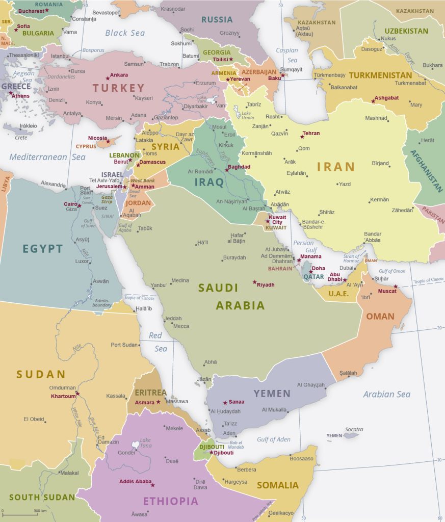 If you look at Iraq on the world map, it is clear that geographically it belongs to the geographical region of Western Asia. The location of the country is the northern part of the Arabian Peninsula, the Mesopotamian lowland, the valleys of two rivers – the Euphrates and the Tigris. The southeastern border of Iraq is limited to the Persian Gulf.
Turkey is located in the north, Saudi Arabia in the south, Iraq’s western neighbors are Syria and Jordan, and Iran in the east.
Relief
There is a geographical division of Iraq into 4 parts:
- Mountainous northern part;
- Upper Mesopotamia;
- Lower Mesopotamia;
- Desert southwestern regions.
The north and northeast of the country are occupied by seismically dangerous regions of the Armenian Highland ranges, smoothly turning into the ridges of the Iranian Highlands, where the highest point of Iraq is located – the peak of Haji Ibrahim with a height of 3587 m.
A significant part of Iraq is occupied by the Mesopotamian lowland, which is divided into Upper and Lower Mesopotamia.
Upper Mesopotamia is a hilly plain of El Jazeera with average heights from 200 to 500 m, including separate massifs from 526 m high (mountain ranges Makhul and Hamrin) up to 1460 m ( Sinjar Ridge ). Lower Mesopotamia is a swampy lowland with an area of about 129 square meters. km with a flat relief and a maximum height of 100 m.
In the southwestern part of the country there are desert areas of rubble-pebble and sometimes sandy type.
Water resources: seas, rivers and lakes
There are 2 large rivers on the territory of the country – Tigris and Euphrates, as well as several lakes – Tartar, El Milh , El Habbaniya El Hammar , Es Saadia . The rivers flow from the northwest towards the southeast across the territory of the Mesopotamian Plain, then join in the river Shatt al- Arabflowing into the Persian Gulf.
The largest cities on the map of Iraq
- Baghdad is the capital of Iraq, its cultural, economic and political center, as well as the largest city in the Middle East. Its population is over 9 million people. Locations on the map are practically in the center of the state, on the banks of the Tigris River. Administrative division – 9 districts, each of which has 89 microdistricts.
- Mosul is an ancient city in the north of the country, the former capital of the ISIS terrorist organization. Location – the banks of the Tigris River, 396 km northwest of the capital of Iraq. The population is 1,475,000 people. Liberated from ISIS control by the Iraqi army in 2017, part of the monuments and residential buildings were destroyed.
- Basra is the main port and transport hub of Iraq (airport, railway and highways), the second city in terms of population after Baghdad. Location – the bank of the Shatt al-Arab river. The hottest city on Earth with summer temperatures up to 50°C.
- Erbil is an ancient city that appeared on the world map in 1975 BC, the capital of the autonomous province of Kurdistan. Location – 77 km east of Mosul , at an altitude of 415 m above sea level. Population – 1,612,700 people.
 The Guide Maps
