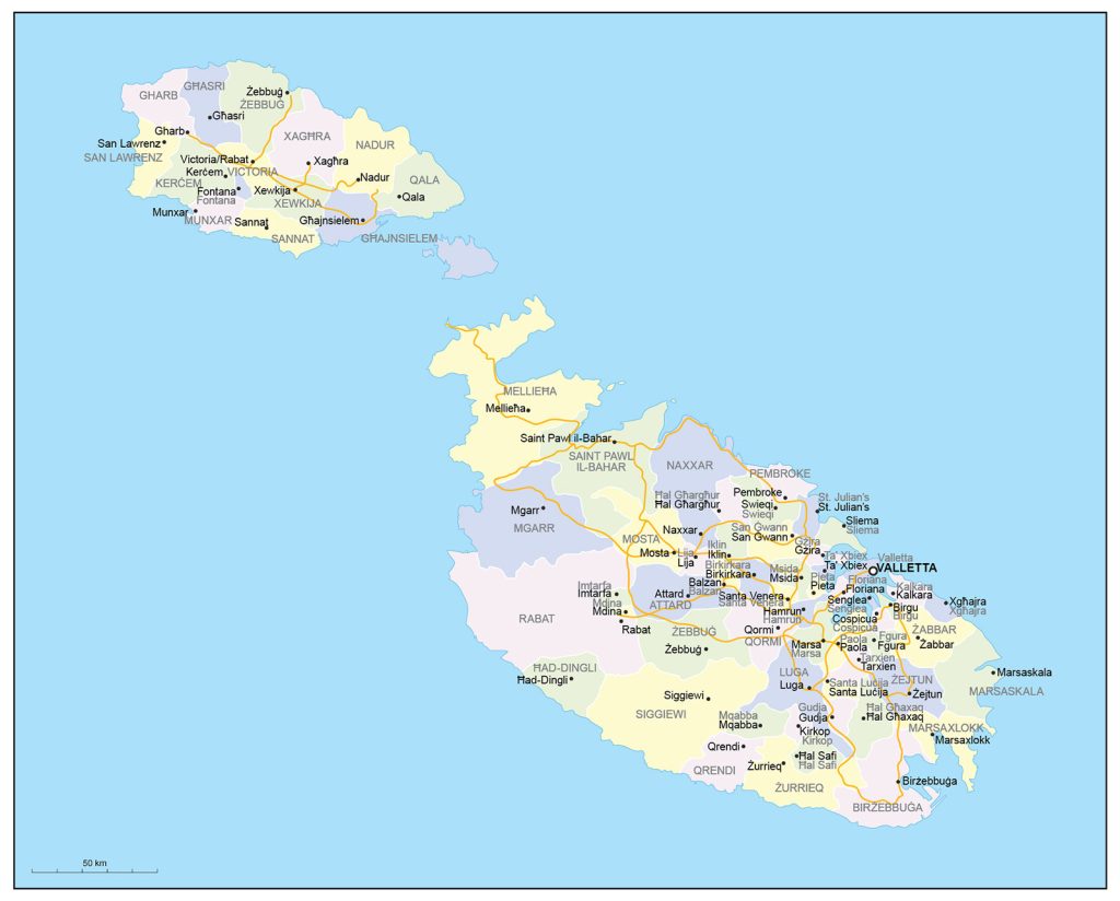
Map of Malta
Republic of Malta map online
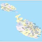
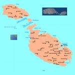
- Political map of Malta with cities
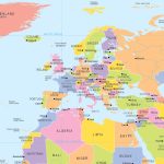
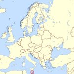
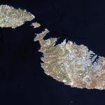
- Location of Malta
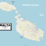
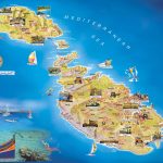
- Map with attractions of Malta for travel
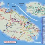
- Tourist map of Malta with bus routes
- Administrative divisions of Malta
The borders of Malta
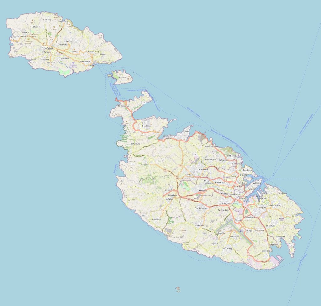 The borders of Malta are surrounded by Mediterranean waters on all sides. It shares maritime borders with Italy to the north-west and Tunisia to the south-east. Its nearest neighbouring nations are Libya to the south-west (approximately 90 kilometers away) and Sicily to the north (approximately 200 kilometers away).
The political map of Malta
Malta is a republic in which executive power lies with the Cabinet and legislative power lies with Parliament. The country has been a member state of both the European Union (EU) and NATO since 2004. On a political map it can be seen that the main island comprises several localities that assist in administrative purposes, such as Rabat, Mosta, Valletta (the capital city), Floriana, Zejtun, Birkirkara, Sliema, etc. It also has two smaller outlying islands: Gozo and Comino. The Malta, road map is a great helper when traveling by car.
The highest points of Malta
On its highest point—located at Dingli Cliffs in western Malta—the elevation reaches 253 meters above sea level. This point is also known as Ta’Dmejrek or “Tablet Rock”—named after a flat limestone rock that seems strangely perched atop its summit point like a table top placed there by some giant hand in ages past! Additionally, there are two other notable peaks on this island nation including Tas-Silg at 174 meters high near Marsaxlokk Bay on its south-eastern coast; and Ta’Cenc at 103 meters high in Mtarfa region on its northern coast. With the map of Malta, you will definitely not get lost.
What is Malta famous for?
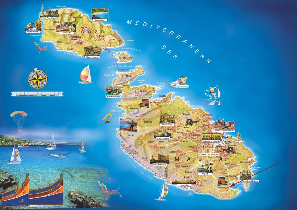 Malta boasts many cultural attractions such as historical monuments from different eras throughout history from Neolithic times until modern day; many examples exist all over the islands including ancient megalithic temples dating back to 5000 BC.
Additionally, Malta has natural points of interest too such as spectacular coastal views along its immense 500 kilometer shoreline where bays meet headlands covered with lush vegetation; crystal clear water that invites visitors to explore hidden coves beneath rugged cliffs or take part in outdoor activities like sailing or snorkeling/diving within safe harbours or offshore marine reserves respectively.
Furthermore, it also offers plenty of entertainment opportunities ranging from festivals & performances celebrating Maltese culture like traditional music & dance performances to live concerts featuring international stars like Justin Bieber & David Bowie who have graced their stages over recent years.
Is Malta part of Europe?
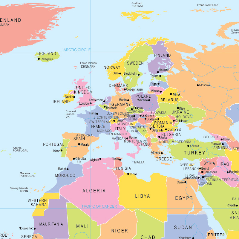 Yes indeed! As mentioned previously, it has been an EU member state since 2004 hence they take part in activities related to this union including but not restricted to Schengen agreements when it comes travelling between countries within Europe as well as having access certain rights & opportunities provided by being part of this European family!
Rivers, forests, lakes & mountains
There are no major rivers found on this tiny archipelago however there are several streams & rivulets making up small catchments areas across various parts throughout all three islands collectively referred their total combined length only measuring around 8 kilometers.
As for forests they too do not really exist but instead vast swathes green land cover dominates much terrain due agricultural practices which involve terracing hillsides order create plots suitable growing crops (mainly olives) although some remnant woodland areas still remain scattered here there mostly protected conservation sites like Ghar Lapsi Nature Reserve located Gozo island itself.
In terms lakes these too rare although salt water lagoons form during winter months when rainwaters accumulate particularly around Grand Harbour area Valletta Capital City itself – one popular example being known locally Marsamxett Lake located near Msida Marina close Maltese capital city center.
Lastly mountains aside aforementioned Dingli Cliffs highest peak amongst others mentioned earlier most landforms here consist rolling hills low rises interspersed hidden valleys inland regions away from coastline rather than actual mountains though technically some could considered reachable heights such close Filfla Island off southern tip which rises roughly 33 meters above sea level.
 The Guide Maps
