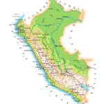
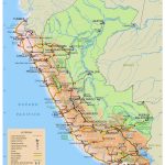
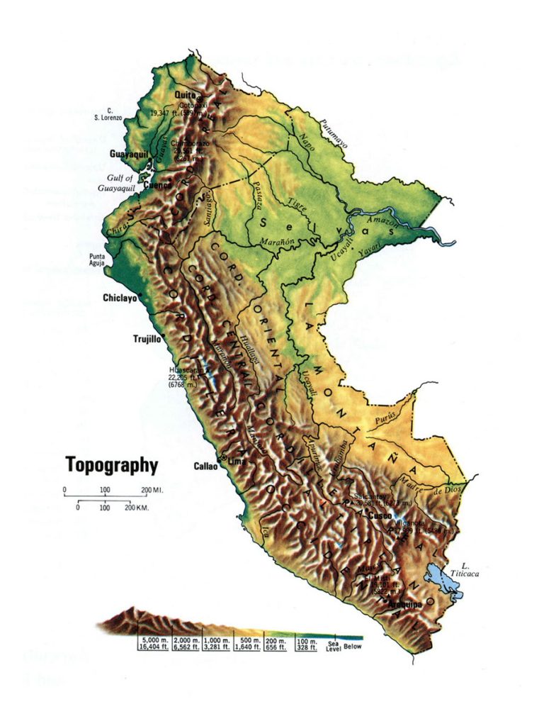
Map of Peru
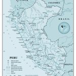
Republic of Peru map online
- Political map of Peru
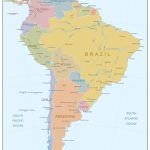
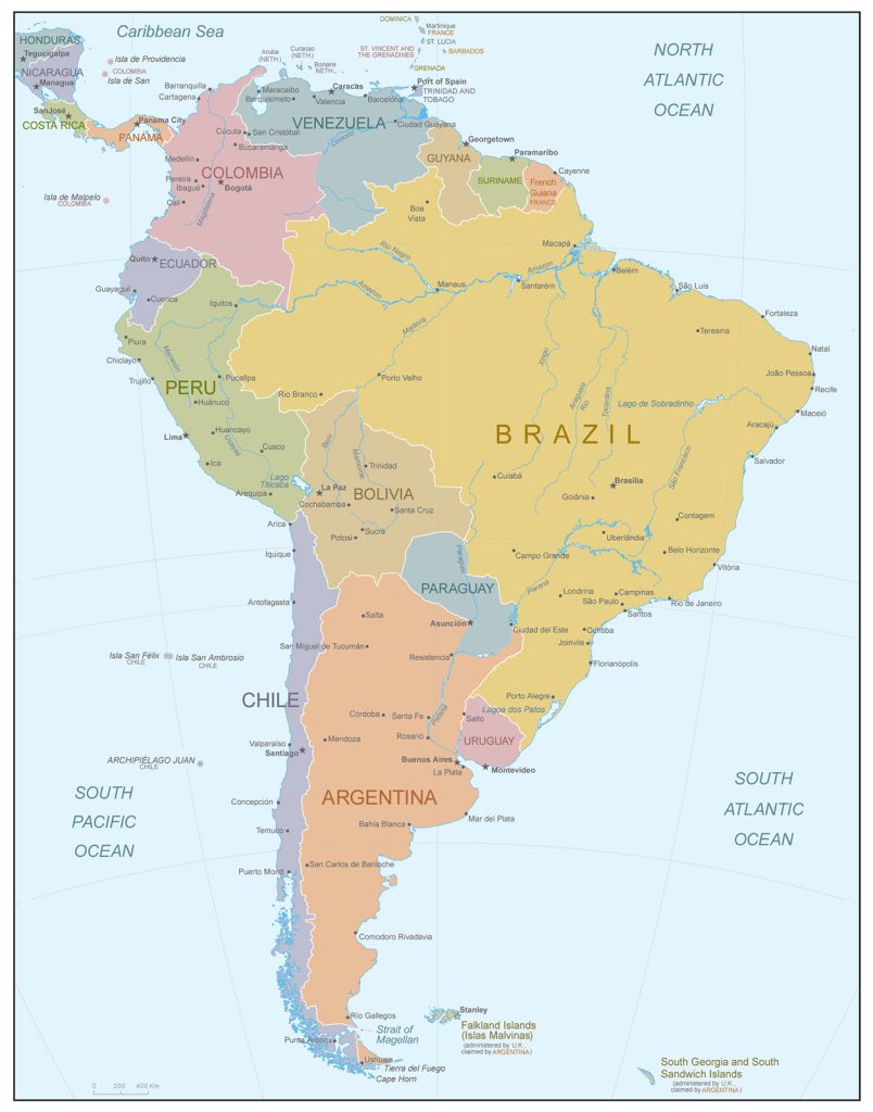
- Location of Peru in South America
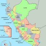
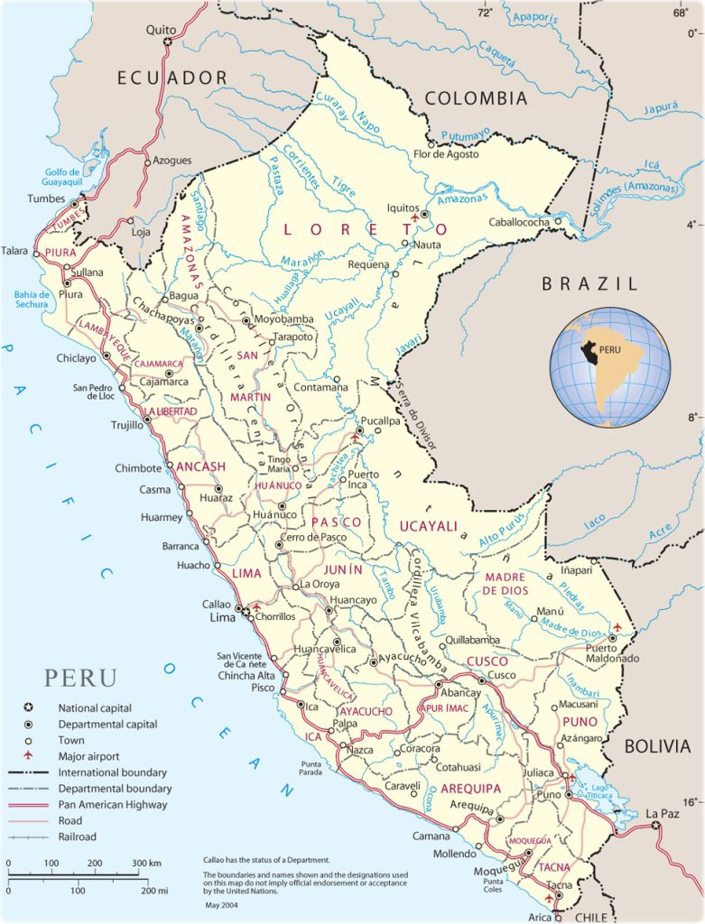
- Administrative divisions of Peru
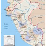
- Borders of Peru, Ecuador and Brazil
General description of the Republic of Peru
Peru is a state on the political map of South America and. The country occupies 1,285,220 sq. km in the west of the mainland. In terms of area, Peru is in third place among the countries of the South American continent and is included in the TOP-20 countries of the world. The area of Peru is smaller than Mongolia, but larger than Chad.
Many rivers flow in Peru, the largest of which are the Marañón and the Putumayo . The highest point in the country is Mount Huascaran , which has a height of 6768 m. On the coast, the climate is tropical desert, and in mountainous areas it is high-altitude, with dry winters and rainy summers. In the east and northeast of Peru, the climate is equatorial, constantly humid.
The capital of the state is Lima with a population of over 9 million 562 thousand . residents. On the map of Peru, the capital is located on the Pacific coast. Other major cities:
- Arequipa -1 million 008 thousand;
- Trujillo – 919 thousand;
- Chiclayo – 552 thousand;
- Piura – 473 thousand;
- Huancayo – 456 thousand;
- Cusco – 428 thousand
Location of Peru on the world map
The country is located in the west of South America. Its western coast is washed by the Pacific Ocean. The length of the coastline is 2414 km. There are over 80 small rocky islands along the slightly indented coastline.
Peru shares borders with Ecuador, Colombia, Chile, Bolivia and Brazil. The Peruvian-Brazilian and Peruvian-Colombian borders are the longest.
Relief
The whole territory of Peru can be divided into 3 regions:
- Costa – a desert zone with a width of 80 to 180 km, which stretches along the Pacific coast. This strip accounts for about 12% of the country’s area.
- Selva , which is located in the east and northeast of Peru. The plains and foothills located here occupy 60% of the country’s area.
- Between the Costa and the Selva is the Sierra – Andean highlands . This vast mountainous region, which has a width of 200 to 500 km, stretches across the entire country and occupies about 28% of its territory.
Peru is a mountainous country. The Central Andes are located in the southern part of the Sierra, and in the northern – the Peruvian Andes. It is in this massif that Huascaran peak is located , the highest mountain in Peru and the fourth highest point in South America. In total, there are 36 (according to other sources – 38) peaks over 6000 m high in the country.
Rivers and lakes
The largest river in the world, the Amazon, originates in Peru. On the map, the source of the Amazon is marked as the confluence of the Maranion and Ucayali rivers. Numerous tributaries of the Amazon also originate on the territory of the country, including large ones – Jurua, Purus, Putumayo. The sources of all significant water flows are in the mountains or foothills of the Andes.
In the Andes, at an altitude of more than 3800 m above sea level, there is a freshwater lake Titicaca. If you look at map, part of it is in Peru, and part is in Bolivia. It is considered the second largest and largest in terms of fresh water reserves in South America. The other two largest reservoirs in the country are also high-altitude. These are lake Junin , which is located at an altitude of over 4000 m, and the glacial lake Palcacocha, located at an altitude of more than 4500 m.
The largest cities on the map of Peru
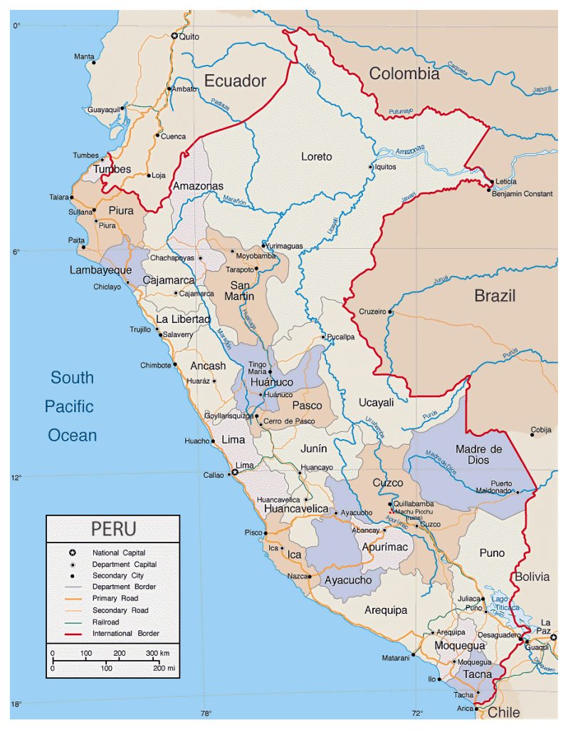 According to the latest census conducted in 2017, the largest cities are:
- Lima is the capital and largest city of Peru. It was founded in 1535 and is located on the Pacific coast. Lima’s historic downtown area was declared a UNESCO World Heritage Site in 1988.
- Arequipa is the second largest city located in the south of Peru. Founded in 1540. It is the administrative center of the province of Arequipa and bears the unofficial title of “Capital of Peruvian Cuisine”. In 1868, the city was badly damaged by an earthquake, but was restored to its original form. The historic center of Arequipa was included in the UNESCO World Heritage List in 2000.
- Trujillo , which is located on the coast, is the administrative center of the La Libertad region . The city was founded in 1534. It is the 3rd largest city and an important tourist center in northern Peru.
- Chiclayo is the capital of the province of the same name and the region of Lambayeque . The city, founded in 1835, is located in northern Peru. For the courage shown by the inhabitants during the war for the independence of the country at the beginning of the 19th century, Chiclayo was awarded the status of a hero city.
 The Guide Maps
