Map of Poland
Republic of Poland map online
General description of Poland
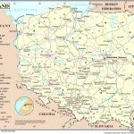
Poland is a state located on the map in the center of Europe. It borders with Germany, Czech Republic, Slovakia, Ukraine, Belarus, Lithuania, Russia.
Poland is a democratic republic, the head of state is the president, elected in free elections for a term of five years. [1]
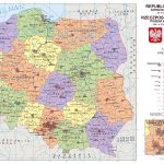
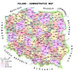
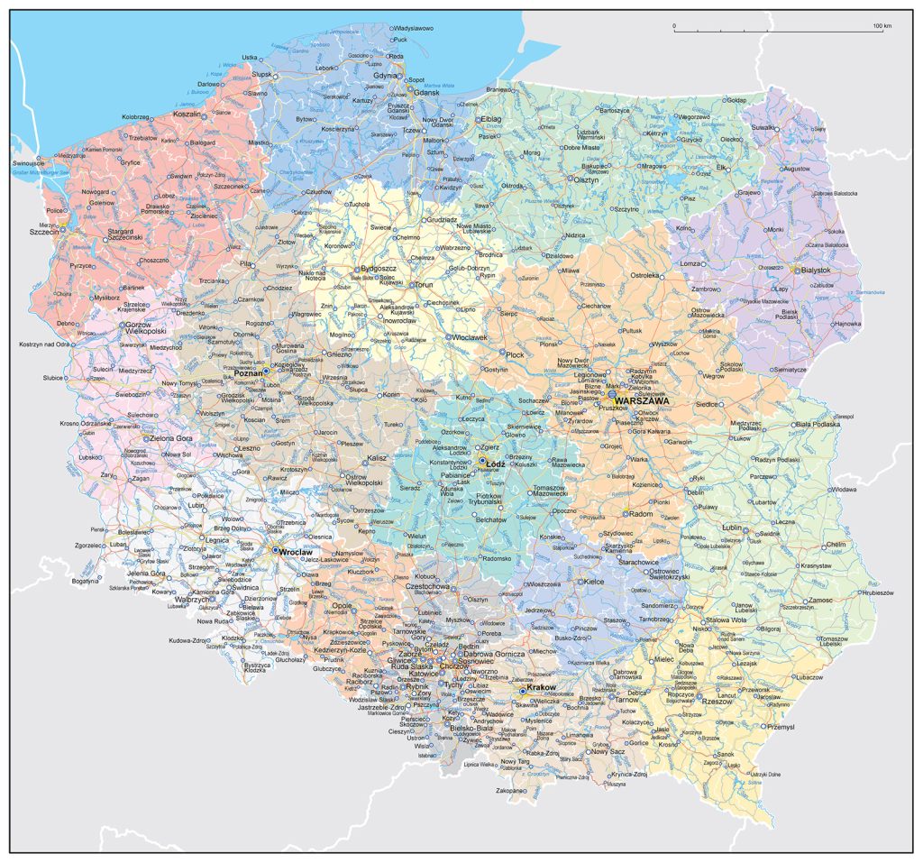
Poland is divided into 16 regions (provinces; Polish Voivodeship). Lesser is further subdivided into 379 poviatras (county: 65 townships and 314 rural districts) and 2,477 gminas (municipalities; 302 municipal districts, 642 mixed municipalities and 1,533 rural municipalities).
The capital of Poland is Warsaw. It is also one of the largest cities in the country. Krakow, Lublin, Poznan, Szczecin, Lodz, Bydgoszcz, Wroclaw should also be included in the Polish metropolitan areas.
According to the European Environmental Agency, Polish nature is also numerous forests, a highly developed river network, with the two largest rivers Vistula and Odra, as well as a rich flora and fauna.
The largest rivers in Poland are the Wisla and the Orda. The Vistula and Odra, together with their tributaries, have the largest basins (respectively 54.0% and 33.9% of Poland’s surface).[2]
In the course of its development, the republic was part of many countries, including Austria, Russia, Germany, the USSR and the Lithuanian principality.
As stated by the World Wildlife Fund, “Poland is home to vast forests that provide shelter to numerous animal species, including the European bison, wolves, and lynx.”
The United Nations Educational, Scientific and Cultural Organization (UNESCO) describes the historic center of Krakow, one of Poland’s largest cities, as “an outstanding example of a medieval European city.”
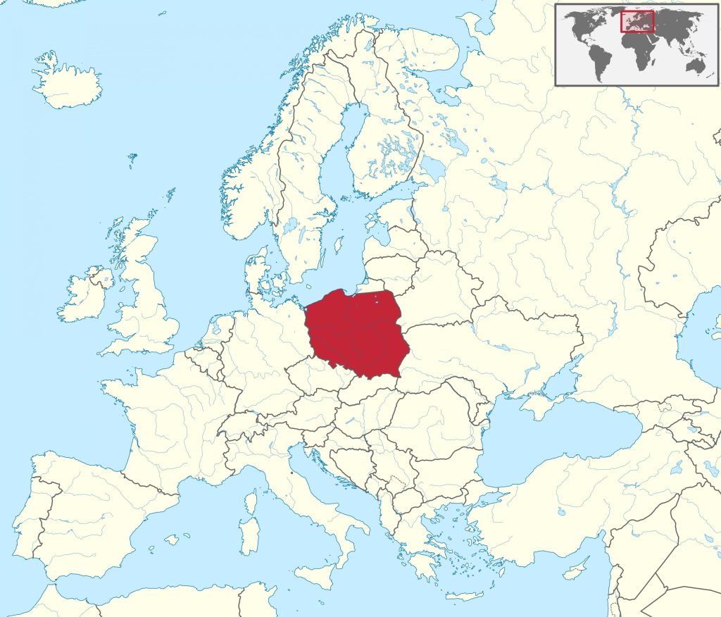
Location of Poland on the world map
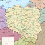
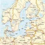
Poland is a state located in Central Europe and bordered by Germany in the west, the Czech Republic and Slovakia in the south, Ukraine and Belarus in the east, the Baltic Sea in the north, Lithuania and Russia (in the form of the Kaliningrad region) in the east. Poland has a maritime border with Denmark and Sweden.
The economic and geographical position of the country is favorable: it borders on developed countries, has a wide outlet to the World Ocean, the territory of Poland is located at the crossroads of transit routes of the latitudinal and meridional directions, and the most important directions of shipping lines pass through the Baltic Sea.
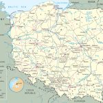
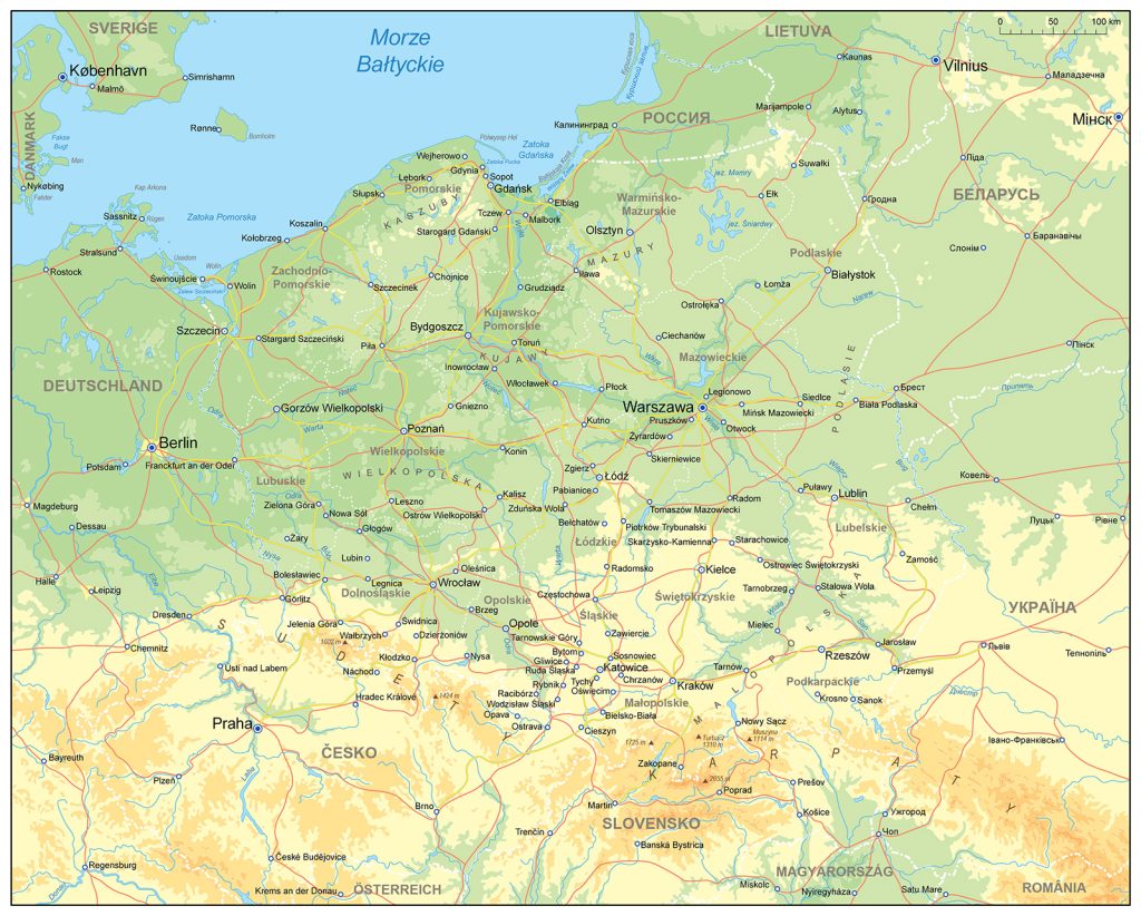
The map shows Poland and neighboring states with borders, the national capital Warsaw, major cities – the administrative centers of districts with names, main roads and airports.
Relief
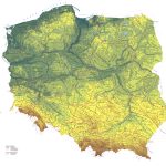
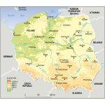
The total area of Poland is 312,658 sq. km. In the North – the Baltic Ridge, in the South and South-East – the Lesser Poland and Lublin Uplands, along the southern border – the Carpathians.
Poland is mainly a flat country, ¾ of the entire territory is occupied by lowlands. Only 3% of Poland’s surface is above 500 m above sea level. In the North – the Baltic Ridge, in the South and South-East – the Lesser Poland and Lublin Uplands, along the southern border – the Carpathians. In the south and southwest are:
- Sudetes – an average height difference of 800 m;
- Carpathians – an average height difference of 1100 m;
- High Tatras (the highest point of Rysy (2499 m));
- The Świętokrzyskie Mountains – an average height difference of 250 m.
The author is Adam Phelps. Geographer and traveler.
 The Guide Maps
