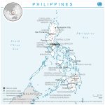
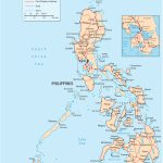
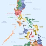
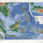
Map of Philippines
Republic of the Philippines map online
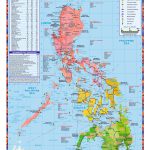
- Territory of the Philippines
- Philippines map with main highways
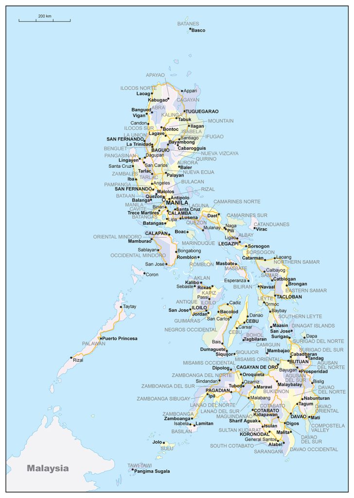
- Large provinces and regions map of Philippines
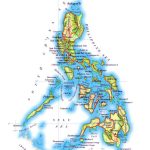
- Physical map of the Philippines with relief and bodies of water
- Detailed tourist map of Philippines
General description of the Republic of the Philippines
The Philippines on the map is located in the southeastern part of the Eurasia continent. The state occupies the Philippine Islands, which include more than 7 thousand islands.
The area of the state is about 300 thousand km2 . This is slightly smaller than Italy, but larger than Great Britain.
The largest rivers in the Philippines are Catayan and Mindanao .
The highest point in the country is Apo volcano, height 2954 km.
The Philippines has a tropical climate. The cool season lasts from December to February, hot and humid – from May to November. On the east coast, a rainy year-round equatorial climate prevails.
The capital of the state is Manila.
A map of the Philippines showing the largest cities in the country:
- Quezon City – 3,000,000 people
- Manila 1 900 000 people
- Davao – 1,800,000 people
- Caloocan 100 000 people
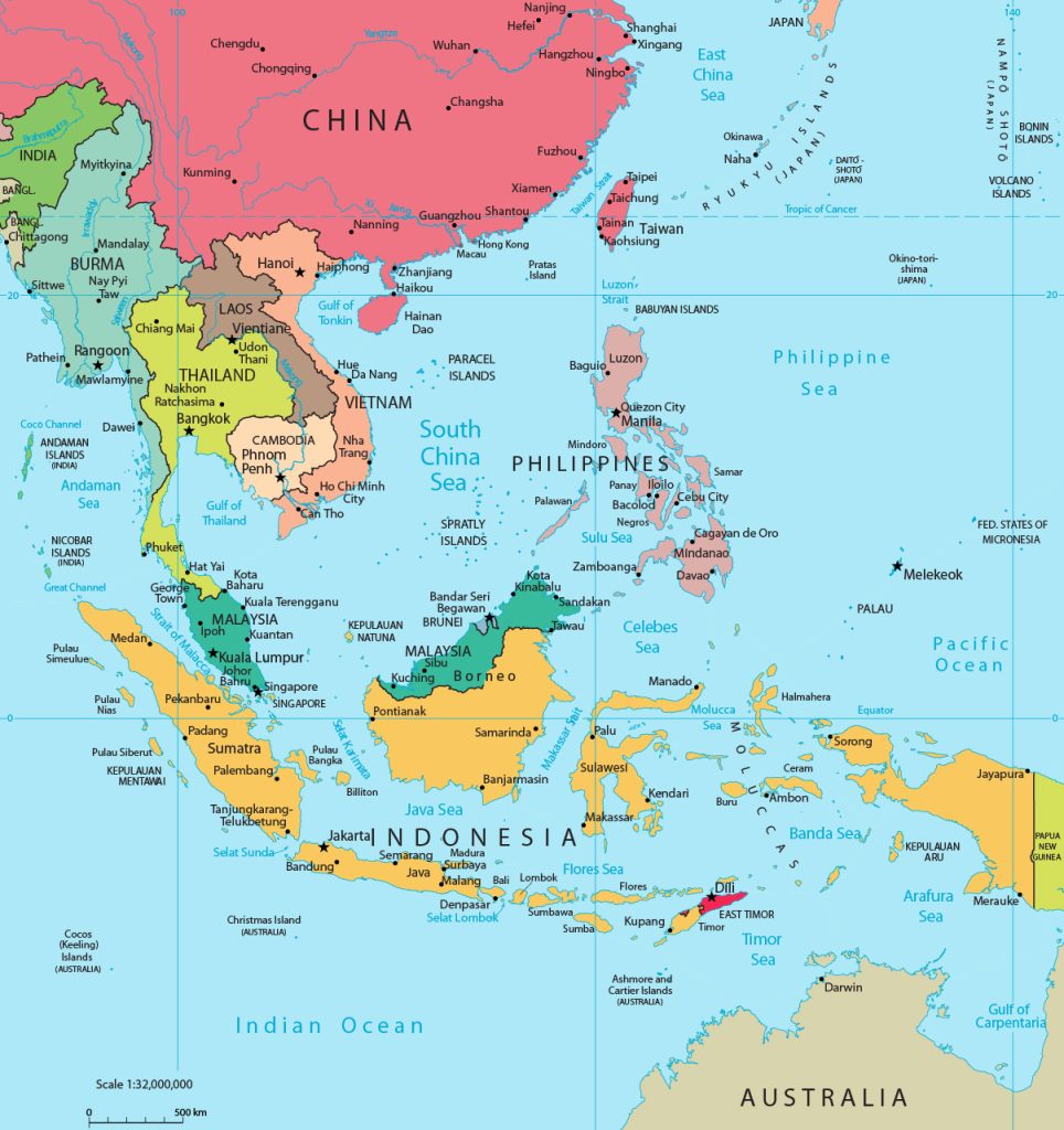
Location of Philippines on the world map
Philippines on the world map can be found in the Eastern Hemisphere, in the southeastern part of the Eurasia mainland. The state occupies part of the Philippine Islands, which are included in the Malay Archipelago. . They are located in three groups:
- Luzon is the largest and northernmost island. It is the most populous part of the country.
- Visayas group of islands , which includes some large islands of the archipelago – Panay , Cebu , etc.
- Mindanao is the second largest Philippine island located in the southern part of the archipelago.
The northernmost point is the Batanes Islands. This part of the country is separated by the Bashi Strait from the island of Taiwan. The easternmost point is the island of Mindanao , which is washed by the Philippine Sea. The southernmost point is Sibatu Island, washed by the Sulawesi Sea. The western part is bounded by the South China Sea, the most extreme point is Balabac Island.
Relief
Most of the Philippine Islands are covered by mountains of volcanic origin. The highest of them is Apo volcano . It is located on the island of Mindanao , and its height is 2954 m.
Water resources
The Philippine Islands are surrounded by three seas – Sulawesi, Philippine and South China. These seas belong to the Pacific Ocean.
Cagayan , the largest river in the Philippines in terms of basin area, flows on the island of Luzon for 354 km. The Mindanao River is considered the longest, with a length of 550 km. It is located on the island of the same name.
The largest lake is Laguna de Bai. It is located on the edge of the Central Plain of Luzon .
The largest cities on the map of Philippines
The largest can be considered 4 Philippine cities, which are always indicated on the map of the Philippines.
Quezon City
The largest city in the Republic of the Philippines by population. It is one of the satellite cities of the Manila metropolitan area and is located in the northeastern part of the group. Quezon City is the industrial and entertainment center of the country, but also has many historical and cultural attractions.
Manila
The map marks the capital of the state in the southwestern part of the island of Luzon . The metropolis consists of 18 cities, the central one is Metro Manila, around which all the others are grouped. The city is divided by the river into two halves by the Pasig River – the old Intramuros and the new part with a modern look.
Caloocan
Caloocan is located on the shores of Manila Bay. This is one of the satellite cities that are part of the Manila agglomeration and adjacent to its northern part. In Caloocan , several historical objects dating back to the 18th century have been preserved.
Davao
The administrative center of Mindanao , located in the southeastern part of the island, on the shores of the bay of the same name. It is the largest Philippine city in terms of area. The highest point of the islands is located here and the durian fruit grows in abundance .
 The Guide Maps
