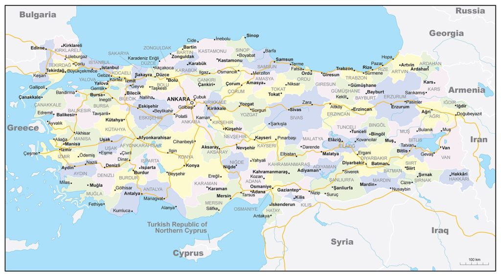
Map of Turkey
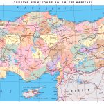
Republic of Turkey map online
- Turkey map with roads
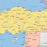
- Turkey and neighboring states with names and borders
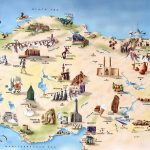
- Map of attractions in Turkey
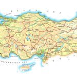
- Relief and reservoirs on the physical map of Turkey
General description of the Republic of Turkey
The Republic of Turkey is a large state located between Europe and Asia. Favorable geographical location on the map has a dominant influence on all areas of activity. The area of the Republic is 780,580 km. According to this indicator, the state ranks 36th, ahead of Chile, France, Spain, but inferior in size to Pakistan, Venezuela, and Egypt.
The largest rivers flowing through the territory are the Tigris and the Euphrates.
Features of the high-altitude Turkish landscape (the highest point is Mount Ararat ) influence the regional climate. Winters are harsh and snowy, and summers are hot with moderate drought. The areas near the Aegean and Mediterranean Seas have a Mediterranean, milder climate, with no stable snow cover. On the Black Sea coast, the weather corresponds to the temperate sea zone, characterized by slight frosts in the winter months and warm, mild summers. In the eastern part of Turkey, climatic conditions are characterized by low humidity, tropical desert temperatures.
The capital of the Republic of Turkey since 1923 is Ankara . If you look at the map of Turkey, the metropolis is located in the center at an altitude of 938 meters above sea level, within the Anatolian plateau.
Turkey on the map is represented by 9 million-plus cities :
- Istanbul – 15.5 million inhabitants;
- Ankara – 4.6 million;
- Izmir – 3.4 million;
- Bursa – 2.1 million;
- Adana – 1.6 million ;
- Gaziantep – 1.4 million ;
- Konya – 1.1 million ;
- Antalya – 1 million;
- Kayseri 1 million
Location of Turkey on the world map
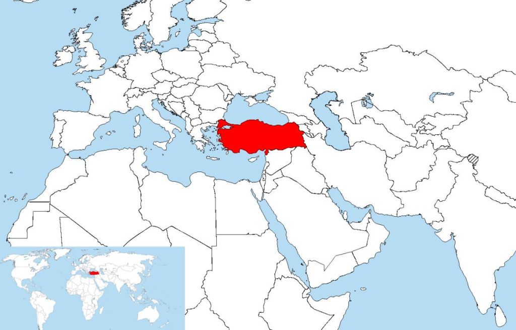 97% of the country is located in the Western part of the Asian continent, only 3% is in Southern Europe. That is why the country is more associated with the Middle East than with the European Union. The total length of the land border of the country is 2628 km. The length of the coastline is 7168 km.
The Asian part of Turkey borders on 6 states: Armenia (length – 268 km), Azerbaijan (9 km), Georgia (252 km), Iraq (331 km), Iran (499 km), Syria (822 km). The European territory is in contact with Bulgaria, the length of the common border is 240 km.
The country has a disputed territory – Northern Cyprus. Formally, it is a separate state, recognized only by Turkey, but completely dependent in economic, political, and military terms.
Relief
The landscape of the state is predominantly mountainous. In the Black Sea region, the Pontic Mountains stretch for almost 1000 km, and Taurus is located south of the Euphrates to Antalya. The highest point in the country is Ararat (5137 meters). The peak is located in the East, in the Armenian Highlands. In terms of relative height, the peak ranks first in the world.
Water resources
The state is washed in the South by the Aegean and Mediterranean Seas, in the north by the Black Sea. The last two are connected by the internal Sea of Marmara through the Bosphorus (32 km long) and the Dardanelles (64 km), which are of key importance for the Black Sea region. They form the only transport water artery through which thousands of commercial ships pass every year.
The rivers of Turkey are mostly rapids and non-navigable, the largest ones like the Euphrates, the Tigris are located in the East. The largest river in the European part on the map of Turkey is Maritsa, which occupies only 11th place in terms of length.
The largest cities on the map of Turkey
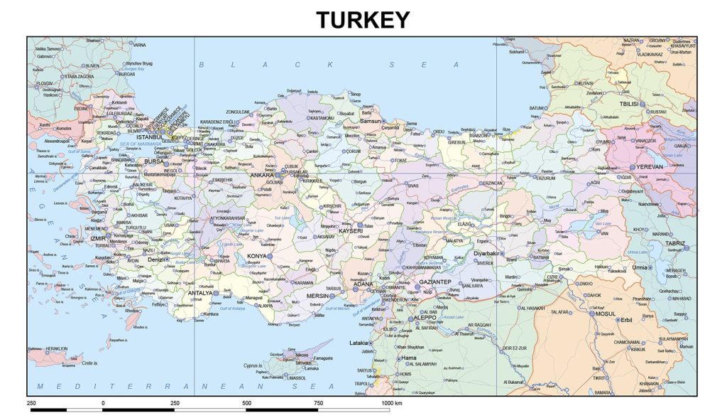 The republic occupies a fairly large area, so it has several large agglomerations at once:
Istanbul
The largest metropolis of the country, the only one in the world located at the junction of two continents – Europe and Asia. Convenient geographical location (the city is divided by the Bosphorus, connecting the Black and Mediterranean Seas) contributes to the constant growth of the economy and population. Istanbul managed to be the capital of the three greatest empires, which made it possible to obtain a unique historical and cultural heritage.
Ankara
The capital of the Republic of Turkey, the second city in the country in terms of population. If you look at the map, Ankara is located in the center, providing convenient access to the administrative resource. Within the city there is a confluence of the rivers Chubuk and Ankara. In addition to the governing bodies of the central government, the city has the largest number of universities.
Izmir
The third largest metropolis in the country, the second largest port. He settled in the west of Turkey, on the shores of the Gulf of Izmir, which flows into the Aegean Sea. Izmir – one of the oldest cities in the Mediterranean basin, is an important trade and economic center. The city is not only famous for its solid historical past, but also continues to actively develop and grow in size.
Bursa
A large city, the administrative center of the region of the same name, built in the north-west of Anatolia, 10 km from the coast of the Sea of Marmara. Due to its convenient location, several large transport hubs pass through the settlement, connecting other major cities of the state.
 The Guide Maps
