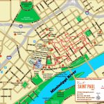
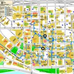
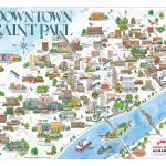
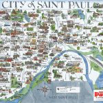
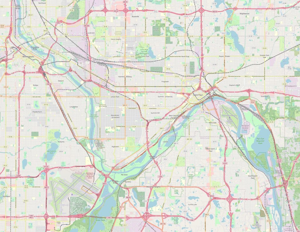
Saint Paul map, Minnesota USA
Map of the surroundings of Saint Paul can provide valuable information and help you understand the area better. It can show you the location of nearby towns and cities, topography, parks, rivers, and other natural features. This information can be useful for exploring the area, planning trips, or making decisions about where to live or visit.
Interactive Map of Saint Paul
Saint Paul map collection
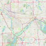
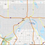
- Schematic map of Saint Paul with freeways and airports
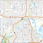
- St Paul Road Map
- St Paul Map Minnesota
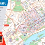
- Saint paul tourist map
- saint paul tourist attractions map
- saint paul skyway map
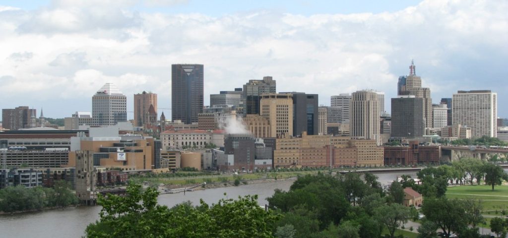 Saint Paul in Minnesota
View this map of Saint Paul with roads, streets and houses. Saint Paul is the capital of the state of Minnesota and it is the second most populous city in the state after Minneapolis. Situated on the banks of the Mississippi River, Saint Paul is known for its vibrant culture and history. It is located about 10 miles east of Minneapolis, along Interstate 94.
What can be seen on the Saint Paul political map?
The political map of Saint Paul shows its location within the state of Minnesota, as well as major landmarks such as Fort Snelling, Cathedral Hill, and Como Park. Additionally, it displays various districts and neighborhoods that make up the city such as Downtown Saint Paul, Summit-University, Frogtown, Dayton’s Bluff and West Seventh Street. Furthermore, several points of interest are visible on this map such as museums and universities like Macalester College and University of St Thomas.
What can be seen on the physical map of Saint Paul?
The physical map of Saint Paul shows off not only its geographical features but also its topography. For example, one can clearly see that it sits at a high elevation with a large number of hills surrounding it thanks to its location in The Driftless Area are a which was formed by glaciers during the last Ice Age. Additionally, rivers such as Mississippi River divide Saint Paul into two parts while lakes dotted around it provide beautiful views and recreational activities such as fishing or kayaking. The reference map of Saint Paul serves as a starting point in the world of traveling around the city.
Things to do in Saint Paul
 Visitors will find no shortage of things to do when visiting Saint Paul! From taking a stroll down Historic Grand Avenue with all its quaint shops to visiting world-class landmarks like Cathedral Hill or exploring nature at Como Regional Park; there’s something for everyone here! Some other popular attractions include Minnehaha Falls Park where visitors can enjoy scenic waterfalls or explore more than 70 acres at Harriet Island Regional Park; an ideal spot for biking or picnics.
Map Saint Paul are a useful tool for navigating in unfamiliar cities and can help you avoid getting lost. A map of Saint Paul can show you the layout of the city, including the location of streets, landmarks, and important buildings, allowing you to plan your route and reach your destination efficiently.
Nearest cities and distances
Located near the center of Minnesota’s Twin Cities region lies St Paul making it easy to reach nearby cities such as Minneapolis (10 miles), Apple Valley (20 miles), Eagan (22 miles), Bloomington (27 miles) and Roseville (12 miles). The nearest airport is Minneapolis-St Paul International Airport which is 11 miles away from downtown Saint Paul while Amtrak provides rail service from Union Depot Station which is just 1 mile away from downtown Saint Paul. Those traveling by car have access to several highways including I-35E/I-94E/US 52 heading eastbound towards Wisconsin or westbound towards North Dakota/ South Dakota respectively; while I-35W/US 8 heading northbound towards Duluth or southbound towards Iowa provides access to other areas within the Twin Cities region. A map of the surroundings of Saint Paul will give you the best way to understand the surroundings of the city.
What is Saint Paul famous for?
Saint Paul has been home to some famous people like F Scott Fitzgerald who wrote The Great Gatsby here as well being recognized for having one of America’s best beer scenes thanks to locally brewed craft beer brands like Surly Brewing Co., Fair State Coopery & Summit Brewing Co. Moreover, it has also earned recognition for having over 20 theaters in one place – Grand Avenue Theatre District – making them together one largest theater districts in United States. In addition, visitors will find plenty attractions like Science Museum of Minnesota, Xcel Energy Center, Minnesota History Center, Cathedral of Saint Paul & James J Hill House among others.
Which city is close to Saint Paul?
Roseville is located close to Saint Paul with a distance between both cities being just 12miles apart making them neighbors geographically speaking. As mentioned earlier roseville serves an important gateway connecting Saint Paul with 3 major interstate highways namely I-35W traveling northwards towards Duluth & southwards towards Des Moines; I – 35E travelling eastwards towards Wisconsin & US 8 travelling westwards towards North Dakota & South Dakota making Roseville an ideal commuter hub due to its proximity to Saint Paul & Twin Cities Region. Furthermore, visitors will find plenty attractions including Central park located amidst heart shaped lake containing 3 small islands; Har Mar Mall offering wide range shopping amenities; Rosedale mall giving shoppers multiple shopping options from 150 retail stores ; Cedar holm, Golf Course providing golf lovers challenging course amongst wooded landscape setting among others. Look at this map of the streets of Saint Paul, it will immediately become clear where the right street is located.
 The Guide Maps
