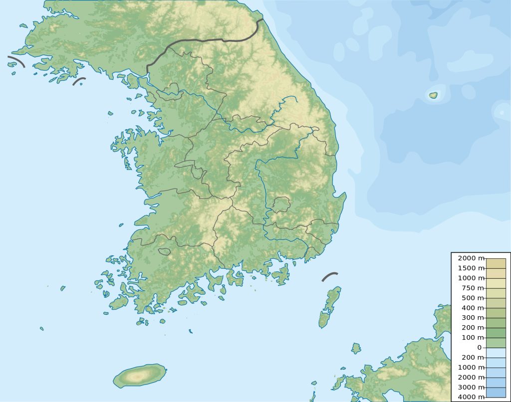
Map of South Korea
Republic of Korea map online
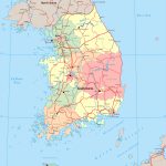
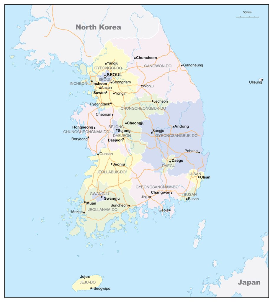
- Large political and administrative map of South Korea with roads and major cities
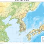
- Physical map of Korea to print
General description of the Republic of Korea
The Republic of Korea is a country in eastern Asia. On the map, the Republic of Korea is located in the southern part of the Korean Peninsula. The state is better known as South Korea. Its area is 100 thousand km2 . South Korea is larger than Hungary, but slightly inferior to Iceland.
Among the rivers of South Korea, the longest Naktong is 521 km. Hangang is almost the same length – 514 km. 70% of the country’s territory is located in the mountains. The highest point in the country, Hallasan -1950 m, is located on Jeju Island . On the mainland, Mount Chirisan is higher than others – 1915 m.
The country has a temperate monsoonal climate. Winters are dry and sunny, summers are hot and rainy. The capital city of Seoul is located on the map of the Republic of Korea in the northwestern part.
Largest cities, million people:
- Seoul – 10;
- Busan – 3.4;
- Incheon – 2.6;
- Daegu – 2.4;
- Daejeon – 1.5;
- Gwangju – 1.5.
Location of South Korea on the world map
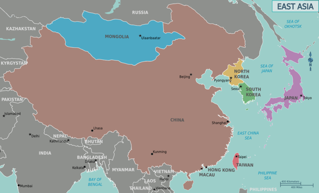
South Korea on the world map is located in the central part of the east coast of Asia. It owns the southern part of the Korean Peninsula, protruding beyond the mainland for 1100 km. The main length of the state borders is washed by water. The coastline of the country has a length of about 2.4 thousand km.
The Korean peninsula is elongated from north to south. Near the coast there are more than 3.5 thousand islands. Most of them are uninhabited. South Korea is surrounded by the seas of the Pacific Ocean:
- in the east of Japan
- in the south by South China;
- yellow in the west.
In the east and in the center of South Korea are the East Korean Mountains. The mountain systems of the Republic of Korea, unlike neighboring Japan, do not pose a danger to residents. They formed in the past periods of time, and their volcanoes have long since died out.
Only land neighbor on the world map is North Korea (DPRK). The two Koreas are separated by a demilitarized zone.
In the southeast, the Republic of Korea and Japan are separated by the Korea Strait, 200 km wide. Almost the same distance – 190 km in the west between South Korea and China.
The largest island of South Korea, Jejudo, is located south of the Korean Peninsula. It has an area of 1.8 thousand km 2 .
Relief
The East Korean and North Korean mountains occupy most of the country’s territory. Their highest part is the Taebaek mountain range. stretched along the East coast of the Korean Peninsula. The coast has sandy bays and lagoons.
About half of the country’s territory is located at an altitude of more than 500 m above sea level . Another quarter is located above 1 km above sea level .
The western coast of the Korean Peninsula has a low relief. There are over 2,000 islands on this side of the coast.
The most famous peaks on the mainland are:
- Palgongsan near the city of Daegu with a height of 1193 m;
- Deogyusan – 1507 m;
- Bukhansan in the north of Seoul – 836 m.
Water resources
South Korea is a country of many rivers. The majority flows in a westerly direction and flows into the Yellow Sea. Among them:
- Naktong, flowing into the Korea Strait, near the river delta is located the largest port of Korea Busan;
- Hangang, which flows through Seoul;
- Kumgang – flows into the Yellow Sea in the south of the country.
There are many lakes in South Korea. Most of them are located in the northern part of the country. Some of them are reservoirs on rivers, such as Andong, Jinyang, Anapji. There are many natural lakes, the largest and most famous are Supung, Changjin, Cheon, Samji .
The largest cities on the map of Republic of Korea
Seoul
On the map of South Korea, Seoul is located in the northwestern part. It is spread over a plain along the banks of the Han River. The population of the capital of Korea is 10 million people. And the entire Seoul agglomeration contained about half of the country’s inhabitants. The city with more than 2 thousand years of history has managed to harmoniously combine historical monuments and ultra-modern architecture.
Busan
Comfortable for almost 3.5 million people, the city is located in the southeast of the country. The sea capital of the state spread its quarters in the valleys of the Naktong and Soyang rivers, surrounded by mountains that contribute to the subtropical climate. The city of numerous skyscrapers is a major port, industrial and cultural center of the country.
Incheon
Incheon , part of greater Seoul, is an independent administrative unit of Korea. The city is located in a bay on the west coast of the Korean Peninsula in the northern part of the country. It is the largest port and the main international airport of the Republic of Korea.
Daegu
The ancient city of Daegu has always been on an important trade route. It is located in the southern part of the country. On the map , it can be found northwest of Busan . It is one of the religious centers of the country. It is located on the Geumhogang River, surrounded by mountains in the monsoon climate zone. 3 American bases are deployed in the city.
Daejeon
One and a half million city is located in the central part of the state. It grew already in the 20th century and became the scientific and technological center of South Korea. The pride of Daejeon is the Institute of Basic Sciences.
 The Guide Maps
