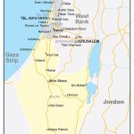
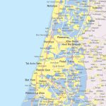
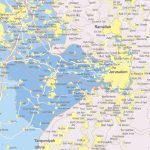
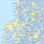
Map of Israel
State of Israel map online
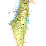
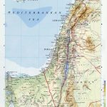
- Physical map of Israel with relief and bodies of water
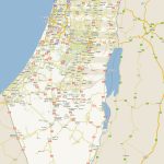
- Israel map with city names in good quality
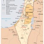
- Map of Israel and Gaza Strip
- Gaza Strip on the map of Israel
General description of Israel
Israel on the map is located on the eastern coast of the Mediterranean Sea and is a major tourist center of the entire mainland.
Almost 9 million people live in Israel. The state is distinguished by significant ethnic diversity: 74% of the inhabitants are Jews, 20% are Arabs, and almost 5% of other nationalities. Therefore, the main language here is Hebrew. Most Israelis live in areas of Tel Aviv, Jerusalem and other major cities. The form of government in Israel is a unitary parliamentary republic. That is, all decisions in the state are made by the parliament.
Israel is a place where people strive for beauty and health. Unique resorts located on the shores of the Dead Sea ( Neve Zohar , Ein Bokek ) allow you to combine relaxation with taking care of your health due to the high concentration of salts and trace elements in sea water, the presence of hydrogen sulfide sources and therapeutic mud here. Balneotherapy, spa treatments and other types of balneological treatment are developed here.
The official history of the foundation of Israel as a state on the modern political map of the world began a little over 70 years ago. In 1948, when the country officially declared independence from Great Britain and took its position in the world. During this short period, the Israelis have experienced many difficult periods in foreign and domestic policy: the Arab-Israeli conflict; problems of relations with the former metropolis; reparations of Jews from the USSR.
Location of Israel on the world map
The geographical position of Israel for many hundreds and decades has been controversial issues about the territories belonging to the state. It should be noted that the land of Israel was the subject of a struggle between many states and nationalities, and until now this issue remains relevant and unresolved, because so far in Israel, despite the fact that it has long been an independent state, there are no officially recognized international borders. .
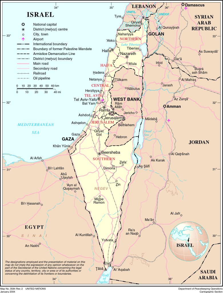 The map shows Israel and neighboring states with borders , the national capital Jerusalem, major cities – administrative centers of districts with names, main roads and airports.
Relief
The state of Israel has the most diverse relief – in the west of the country along the coast of the entire Mediterranean coast, the fertile lands of the Coastal Plain stretch, and in the northeast of the country there is a completely different relief – the Golan Heights. The east of the country is also mountainous – the Galilee Mountains are located here, the mountains of Samaria are also located here, the east of Israel is also the famous hollows – where the Jordan Valley is located, and where the most unique body of water in the world is located – the Dead Sea. In the south of Israel, most of its territory is occupied by sandy deserts – Negev and Arava . The reliefs of the entire territory of Israel dramatically change one another.
 The Guide Maps
