Map of Palestine
State of Palestine map online
Palestine, officially known as the State of Palestine, is a de-jure sovereign state in Western Asia. It is located on the eastern coast of the Mediterranean Sea and bordered by Israel to the north, east and south and Jordan to the east. It currently has limited recognition from other states due to its occupation by Israel since 1967.
*Partially recognized state in the Middle East, which is in the process of creation. The independence of the State of Palestine as of the end of July 2019 was recognized by 138 out of 193 UN member states
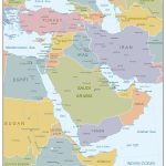
- Location of Palestine on the map of the Middle East
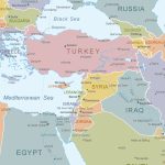
- Closest countries to Palestine
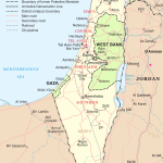
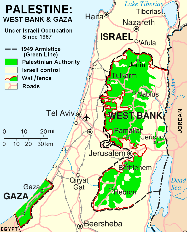
- Schematic map of Palestine with territories
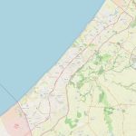
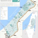
- Gaza Strip Map
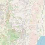
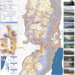
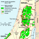
- Detailed Map of West Bank
- Map of Israel with occupied territories
- Gaza Strip With Cities And Towns
Where is Palestine?
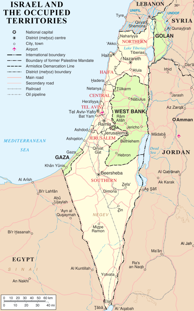 Located on the world map, Palestine is part of the Middle East region stretching from Iraq in the East to Egypt in the West. Its geographical coordinates are 31 25′ 0″ North, 34 20′ 0″ East, and it covers 27,009 square kilometers. Located between two major rivers – Jordan River and Yarmouk River – Palestine contains various landmarks such as Judean Desert, Palestinian Coastline and Gaza Strip. Its location relative to other countries include Israel in the west, northwest and southeast directions; Syria in north direction; Lebanon in northeast direction; Jordan in east direction; Egypt in southwest direction.
The borders of Palestine
The borders of Palestine include occupied territory from 1967 War with Israel which includes West Bank (including East Jerusalem) and Gaza Strip (Gaza lies along Mediterranean coast). In addition to these territories, much of present-day Jordan was once part of historic Palestine or ‘Greater Syria’ when it was divided by Britain after World War I into five Mandates – Iraq (northern), Transjordan (east), Syria (south), Lebanon (southwest) and Palestine (center). The map of Palestine shows the border.
The political map of Palestine
On a political map, you can see that there are four Occupied Territories – West Bank including East Jerusalem, Gaza Strip which lies along Mediterranean coast, Golan Heights which is captured by Israel during Six Days War 1967 and Sinai Peninsula which was held by Egypt until 1979 Peace Treaty between them. In addition to these territories are Autonomous Areas controlled by Palestinian Authority- Jericho enclave in northern West Bank around Jericho city; and autonomous area enclaves Hauzat al-Baqar area near Jenin and Qalqiliya area near Nablus city both located within larger Israeli military zone C areas also known as Area C under full control by Israeli government.
The highest point of the country
The highest point in all present-day Palestinian territory is Jebel Kahlil or Mount Kahlil at 1 588 m above sea level located at Hebron Governorate in southern West Bank. Other two highest points are Jabal Abu Ghneim at 1 524 m at Bethlehem Governorate – also located within West Bank -and JabalJarakh at 1 502 m above sea level located at Quneitra Governorate inside Golan Heights occupied by Israel since 1967 Six Day War with Syria.
Is Palestine a part of Israel?
No, even though large parts of what used to be historic Palestine have been occupied by powerful forces throughout its history starting with Romans up until modern day occupation by Israeli forces following its conquest during 1967 war it still remains an independent state recognized so far only partially as a de jure sovereign nation So this means that while some occupied territories may be under full jurisdiction control of Israeli government they remain a part outside official borders recognized internationally for Palestinian state itself. So why wait? Grab a map of Palestine and start exploring!
Is Jerusalem in Israel or Palestine?
Jerusalem is an ancient holy city for three major faiths Judaism Christianity Islam endearingly called “the City Of Three Faiths” because it has religious significance for all three religions Since 1947 United Nations partition plan proposed internationalization status for Jerusalem so that it would neither be fully under control any one country but rather shared between multiple countries However following six days war with Arab world 1967 Israeli forces took full control over western half city declaring its rule over entire city including old eastern quarters This move continues to be widely disputed among international community with many countries recognizing only eastern parts belonging legally Palestinian state.
Rivers, forests, lakes, mountains
Palestine’s topography includes several mountain ranges hills plateaus wadis dry riverbeds plains forests lakes wetlands coastal strips throughout region Its principal mountain ranges run from north-south rising from extinct volcanoes around Sea Galilee then towards Dead Sea where most elevated point found These mountains form ‘Great Rift Valley’ cutting through length country two mountains part range include Hermon Mount Meron both reaching heights 900 meters above sea level Further downriver banks form ‘Basin Judea’ surrounded hills specific flora fauna make rich biodiversity center four major rivers traversing land include Yarmouk River Jordan River Litani River Wadi al-Arayes Each having own unique natural characteristics like waterfalls rapids springs gorges lush greenery. The Palestine Map is the best tool for travelers.
 The Guide Maps
