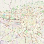
Tehran map, capital of Iran
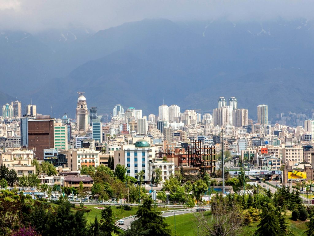
Tehran is the capital of Iran and the largest city in the Middle East. It is located on the slopes of the Alborz mountain range, at an altitude of approximately 1200 meters above sea level in the northern part of the country. Tehran covers an area of around 700 square kilometers and has a population estimated to be around 13 million people.
Interactive Map of Tehran
Tehran map collection
- Schematic map of Tehran with streets, roads and surroundings
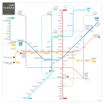
- Tehran metro map
 Political map of Tehran
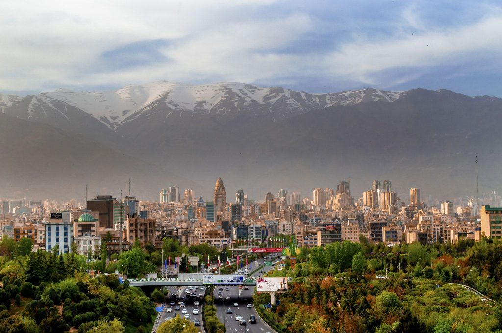
The political map of Tehran shows that it is bordered by Alborz Mountain range to the north and east, by Mazandaran province to the northwest, by Markazi province to the west and southwest, by Qom province to the south, and by Semnan Province to the southeast. It also includes some smaller cities such as Karaj, Varamin, Shemiranat county and Rey county. The Tehran City Map is the best tool for travelers.
What rivers, forests, lakes, mountains are there on the physical map of Tehran, Iran?
On a physical map of Tehran you can spot numerous geographical features such as rivers including Karaj River which flows through northern parts and Tajrish River which flows through northwestern parts; both are tributaries of Lar dam Lake which was originally constructed on these two rivers. The city also has several lakes such as Valiasr Lake in southeastern parts which is a man-made lake created out of two springs namely Rahim Abad Spring and Sorkheh Hessar Spring; Aab o Atash Park Lake in western parts; Taleghani Park Lake in southern parts; Chitgar Lake in northwestern parts; Latyan Dam reservoir outside western boundaries plus several other smaller artificial lakes dotted across its landscape. Additionally there are several forests concentrated along northern borders with Alborz Mountains with plenty or recreational activities like camping, skiing, hiking, horse riding etc.
Nearest cities
The nearest cities from Tehran include Karaj which is located 25 km away; Qom which lies 83 km away; Saveh which lies 120 km away; Shiraz located 355 km away; Isfahan 555 km away; Yazd 622 km away; Tabriz 800 km away; Mashhad 845 km away; Kerman 874 km away. The Tehran, road map is a great helper when traveling by car.
Nearest airport, railway station, highways
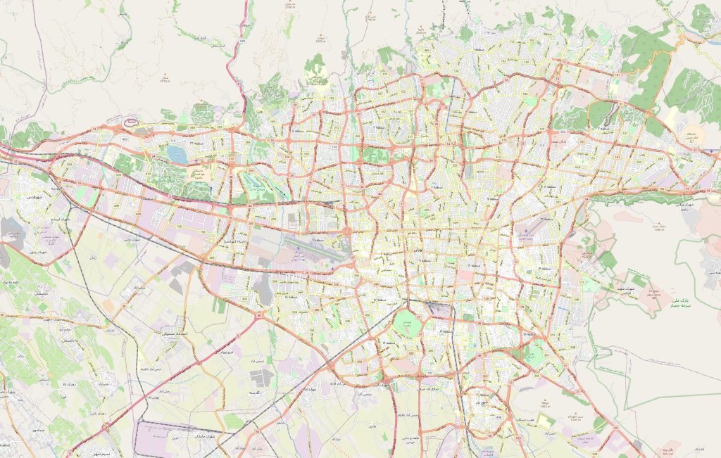 Nearest Airport from Tehran is Mehrabad International Airport located 10 kilometers west from city center along Valiasr Street while Imam Khomeini International Airport lies 40 kilometers south east from city center along Hemmat Highway. Nearest Railway Station from Tehran is Shahid Rajaee Terminal located at south end end of Valiasr Street while another one named Sabalan Station lies 5 kilometers east from Mehrabad Airport at junction between Kahrizak highway North West &Valiasr Street South East. Nearest Highways from Tehran include: Hemmat Highway starting at Imam Khomeini International Airport heading towards south eastern suburbs & connecting them with central core; Kan Region express way passing through middle part & connecting it with Southern & Northern Suburbs & also making connections with Karaj Highway towards West side & Qom Highway towards South Side.
Significant streets of city
 The most significant street running through central core area is called Valiasr Street or known locally as ‘Grand Avenue’ due to its huge length spanning over 20 kilometer long covering a vast majority area within center. Its origin goes back over hundred years when Persian king Qajar laid first foundations for it stretching all way up North side ending at beginning points of Alborz Mountains Range while further extensions finished till reaching southern outskirts next to Imam Khomeini International Airport providing gateway access for Iranian citizens travelling abroad across Middle East, Europe & Asia continents. This great boulevard provides attractive greeneries alongside its sides making pleasant environment for pedestrians, cyclists while smaller shops & restaurants scattered here & there attracting hundreds adults every night looking for entertainment opportunities throughout year round.
 The Guide Maps
