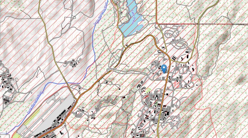
Camp Pendleton topographic map
Terrain, elevation and landscape map
Average elevation: 78 Ft
Minimum elevation: 0 Ft
Maximum elevation: 473 Ft
Embark on a captivating journey through the diverse landscapes of Camp Pendleton using our detailed topographic maps. These maps provide a comprehensive view of the base’s elevation variations, offering insights into its unique terrain and natural beauty.
Camp Pendleton, with an average elevation of 78 feet, encompasses a remarkable range of elevations. Our topographic maps guide you through this military installation, from its lowest point at sea level (0 feet) to its highest peak at 473 feet. This elevation spectrum reveals the dynamic contrast in the base’s topography, contributing to its distinct character.
 The Guide Maps
