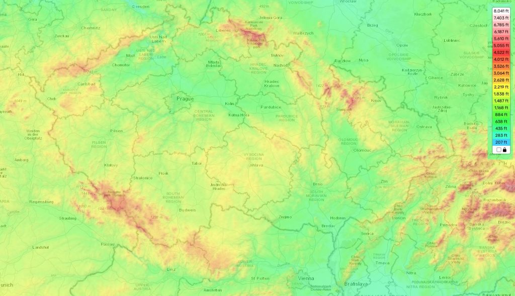
Czech topographic map
Elevation and landscape map of Czech
Czechia is a Central European country known for its rich history, natural beauty, and fairytale-like castles. Its topography is quite varied and impressive. The highest peak in the country is Snezka, which rises to an elevation of 1,602 m (5,256 ft). This makes it the highest elevation point in Czechia but also the highest point in all of the Czech Republic. The average elevation across the entire country is about 400 m (1,312 ft), with a minimum elevation of around 100 m (328 ft).
The topography of Czechia ranges from high mountains in the north to flat plains in southern regions. There are two major mountain ranges — the Krkonose Mountains on the eastern border and the Sumava Mountains to their west. Along with a network of hills and lowlands in between them, they form much of the country’s terrain. Many rivers run through this area as well, providing additional energy services to its inhabitants.
A distinctive feature of Czechia’s topography is its numerous caves and underground labyrinths – some including beautiful stalactites and stalagmites – spread throughout several national parks and UNESCO World Heritage Sites such as Moravian Karst and Punkva Caves.
And if you want to explore the topography of Czechia yourself, our site provides a detailed online topographic map that shows all designations of heights and other important attributes for free!
 The Guide Maps
