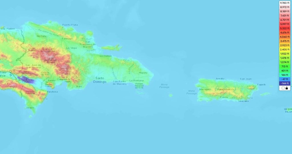
Dominican Republic topographic map
Elevation and landscape map of Dominican Republic
The topography of the Dominican Republic is incredibly diverse, with vast mountain ranges and valleys, along with coastal plains. The highest elevation in the country is Pico Duarte—at 3,098 meters (10,164 feet), it’s the highest peak in all of the Caribbean islands. Average elevation throughout the country is 755 m (2,477 feet). The minimum elevation is -15m (-49 feet) at Lago Enriquillo.
As well as boasting some incredible mountain ranges, the Dominican Republic also features some stunning beaches along it’s coastline. One of its most distinctive features is its immense biodiversity—the country holds over 10% of the world’s bird species, making it one of only 17 countries to do so!
Our site provides a topographic map online for free that contains precise designations of heights and other attributes across the entire Dominican Republic. So if you’re looking for accurate data on this beautiful island nation, look no further than our topographic map!
 The Guide Maps
