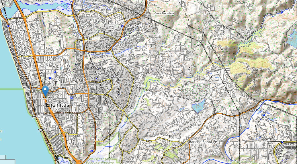
Encinitas topographic map
Terrain, elevation and landscape map
Average elevation: 106 Ft
Minimum elevation: -4 Ft
Maximum elevation: 1045 Ft
In delving into the geographical tapestry of Encinitas, a methodical scrutiny of its topography and elevation parameters is paramount. By immersing ourselves in comprehensive topographic maps, we glean a profound understanding of how elevation intricately shapes this region’s identity and physical attributes.
Encinitas topographic map
Encinitas, graced with an average elevation of 106 feet, stands as a testament to the interplay between land and elevation. Spanning an impressive range from a minimal -4 feet to a commanding maximum of 1045 feet, this elevation spectrum holds the key to unlocking the city’s nuanced geography.