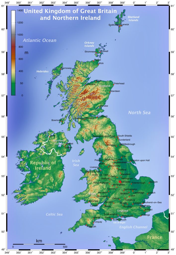
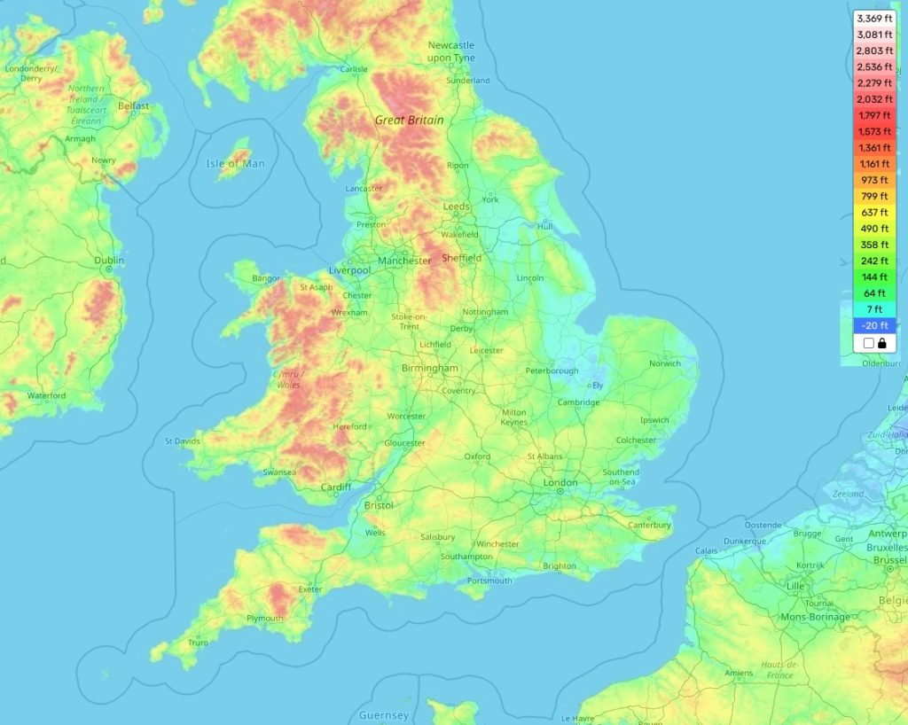
England topographic map
Terrain, elevation and landscape map
England is a country known for its varied topography. It has everything from the highest mountain in England, Scafell Pike, to vast lowland areas like East Anglia and the Fens. The highest elevation in England is 3,192feet(973 metres) at Scafell Pike located in Cumbria, while the average elevation of England is 328feet(100 metres). The lowest elevation point is 0 metres at Holme Fen National Nature Reserve located in Cambridgeshire. In addition to these heights, the country also features hills, rolling farmland and heathlands, as well as large stretches of wilderness that can be found within national parks such as Peak District and Yorkshire Dales.
 One of the most distinctive features of England is its coastline which provides incredible scenery along with plenty of opportunities for coastal activities like swimming, fishing, sailing and windsurfing. The coastlines are often dotted with quaint harbour towns such as Cornwall’s Padstow or Whitby on the North Sea coast – making them an essential part of any visit to England.
Our site provides a topographic map online for free that allows you to explore all the different elevations across England and other important attributes associated with it. On our map you can find out details about the height and location of every mountain peak, hilltop and lowland area within this beautiful country along with other information related to landforms such as rivers and lakes. With this detailed info at hand one will be able to plan their journey through this diverse landscape accordingly!
 The Guide Maps
