Fallbrook topographic map
Terrain, elevation and landscape map
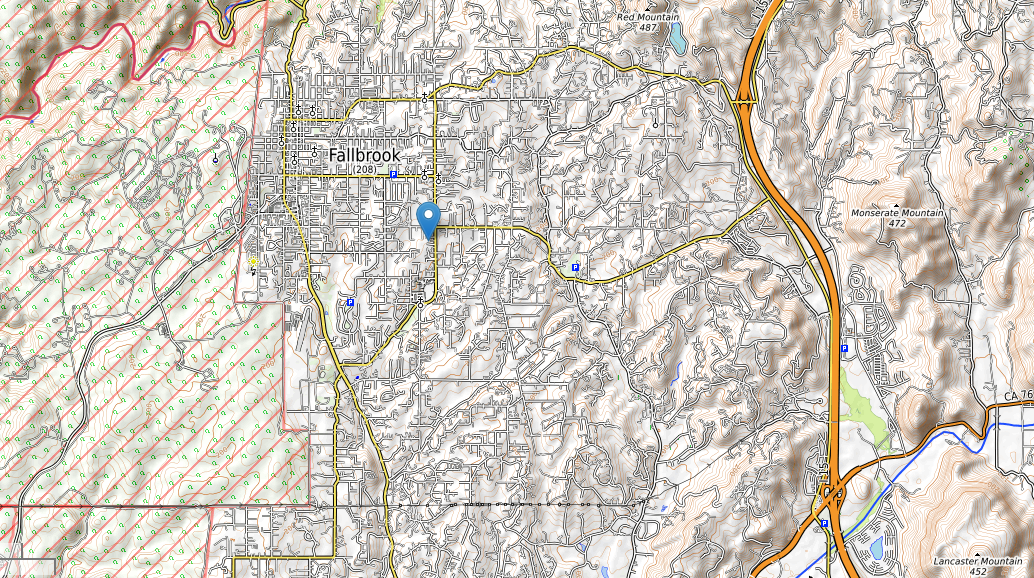
Undertaking a scholarly investigation into the geographical features of Fallbrook City necessitates a meticulous exploration of its topography, guided by comprehensive topographic maps. By delving into these maps, one can unravel the intricate relationship between elevation and the city’s layout, thereby fostering a deeper comprehension of its distinctive terrain and geographical characteristics.
Fallbrook topographic map
Fallbrook City, with an average elevation of 657 feet, is characterized by a notable range of elevations, spanning from a minimum of 192 feet to a maximum of 1256 feet. This elevation spectrum serves as a foundational element in understanding the city’s topographical composition, offering critical insights into its geographical nuances.