Republic of Brazil topographic map
Elevation and landscape map of Brazil
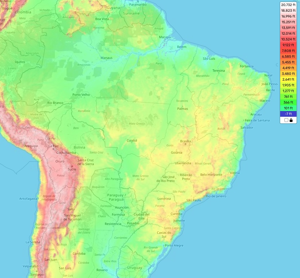
Brazil topographic map
The topography of Brazil is quite varied and diverse. It includes some of the longest mountain chains in the world, such as the Serra do Mar, with a total length of almost 1,500 kilometers. The highest point in Brazil is Pico da Neblina at an elevation of 9822 feet (2,994 meters) above sea level. In addition to mountains, there are also vast areas of hills and lowlands. The average elevation across the country is around 1960 feet (600 meters) above sea level and its minimum elevation is 33 meters at sea level. As far as special features go, Brazil is home to an incredible array of unique wildlife, flora and fauna unrivalled by any other country on Earth. Furthermore, our website provides a comprehensive online topographic map for free that gives you access to all important attributes such as heights and designations for various regions of the country.