Luxembourg topographic map
Elevation and landscape map of Luxembourg
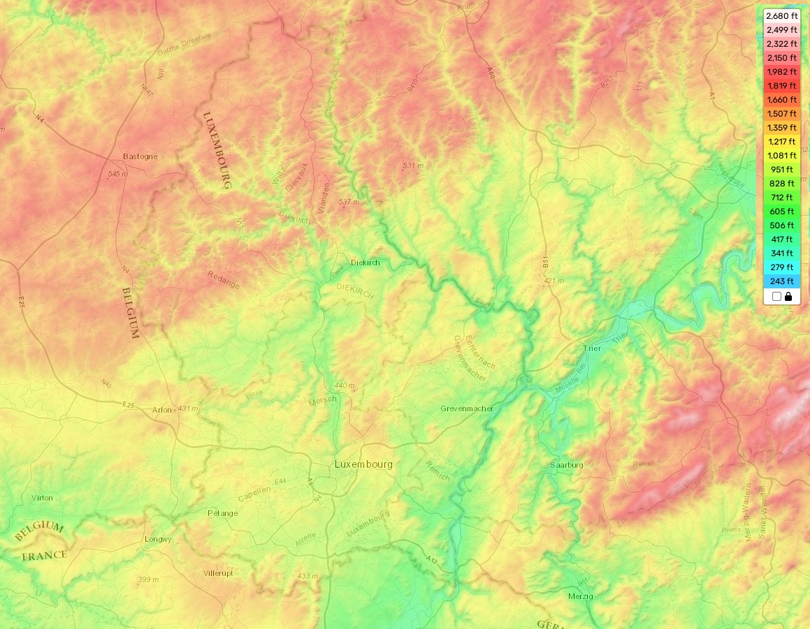
Luxembourg topographic map
Luxembourg is a small European country located between Belgium, France, and Germany. This landlocked country is known for its rolling hills, forests, and many rivers. The topography of Luxembourg is diverse, with the highest elevation being 559 meters at the top of Buurgplaatz in the Oesling region. The average elevation throughout Luxembourg is 350 meters. While much of the country can be found at this elevation or higher, there are some low-lying areas such as the Moselle Valley where the minimum elevation is just 86 meters.
A distinctive feature of Luxembourg is that it has an incredibly large number of castles and fortresses scattered across its landscape. With more than one hundred fortifications built during medieval times to protect against invaders, these ruins are a popular tourist attraction for those visiting Luxembourg.
Our site provides a free online topographic map that displays all of the relevant data about height and other important attributes (such as rivers, forests etc.) in Luxembourg. The map provides detailed information about features such as contours to help with visualizing the shape and size of different areas. With this map you can find out exactly how high or low any given point in Luxembourg may be!