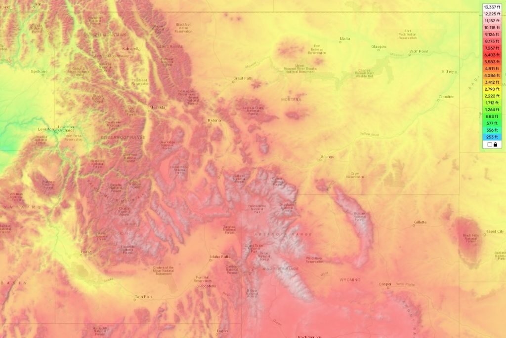
Idaho topographic map
Terrain, elevation and landscape map
Idaho boasts some of the most spectacular topography in the country. It has the highest elevation in the United States outside of Alaska, Mt. Borah, which stands at 12,662 feet and is located on the Idaho-Montana border. The average elevation for Idaho is 5,000 feet above sea level, with a minimum elevation of 950 feet found at Lewiston. Additionally, many of its mountains are heavily glaciated including the Teton Range and Sawtooth National Forest Mountains.
Idaho also has an abundance of rivers and lakes such as Payette Lake, Priest Lake, Henry’s Lake and Bear Lake along with majestic waterfalls like Shoshone Falls. Its rugged landscape offers a great variety of activities such as skiing, snowshoeing, camping and hiking. Moreover, it has vast areas of pristine wilderness with breathtaking views and abundant wildlife making it an ideal place to explore nature’s beauty.
The best way to learn more about Idaho’s topography is by using our topographic map online for free. Our map provides detailed designations of elevations along with other important attributes so you can get a better understanding of the area’s features such as national parks, forests and other protected areas. With our interactive map you can easily plan your next outdoor adventure or just admire Idahos beautiful scenery from home.
 The Guide Maps
